In early June, a team of Mulloon staff working on the Landscape Function Toolkit (LiFT) came together to share ideas and run some data collection methodologies through their paces. The day was a culmination of months of research and collaboration and brought together staff from various scientific disciplines with experience as science communicators/educators, landscape planners, remote sensing specialists and engineers. This wonderful interdisciplinary convergence of diverse skills and expertise merged critical thinking and creative flow for a fantastic day together.
Measuring landscape function is nuanced and complex, requiring a whole of system approach that has led to many conversations around state and transition, flux and flow, metrics, and key aspects of landscape function. Notably, the small water cycle and its importance in a healthy landscape are front and centre of our conversations.
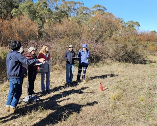
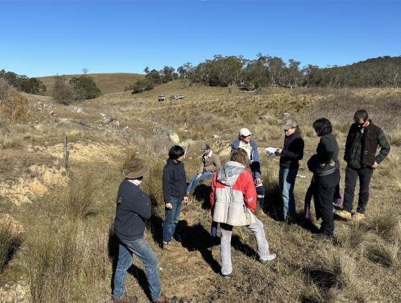
We began the day in the paddock, alongside Mulloon Creek to put Alex Sun’s (PhD Candidate, Sydney University) ‘Riparian Assessment Scorecard’ to the test, looking at diversity and density of riparian vegetation from trees and shrubs to grasses and forbs.
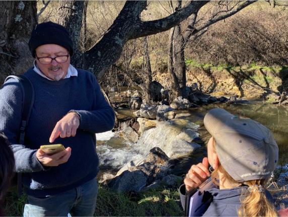
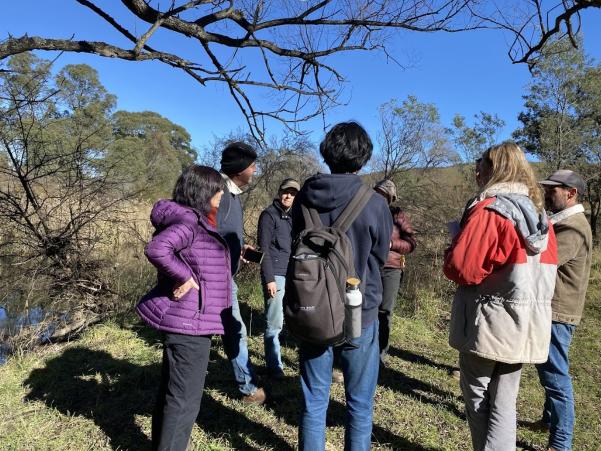
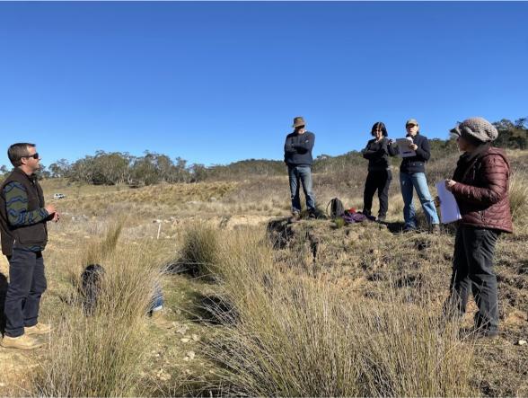
Photos below left to right: 1. Alex giving instructions to the team before doing the riparian assessment, 2. Peter Hazell at Peters Pond using the phone app version of the structure health scorecard, 3. The team discussing the merits and drawbacks of the Structure Health Scorecard, 4 & 5. Erin Healy reading the Ephemeral Drainage Assessment criteria