
Education Coordinator

Location:               Flexible workplace, Canberra region preferred

Salary etc:            Part-time or full-time

The Mulloon Institute is a world class research, education and advocacy organisation in the regenerative agriculture sector. Our innovative approach works to re-establish the natural function, fertility and resilience of agricultural landscapes and incorporates the work of a range of ground-breaking regenerative farmers.

The Mulloon Institute has two for profit subsidiaries: Mulloon Creek Natural Farms (MCNF) and Mulloon Consulting (MC). MCNF is located at our farms in Bungendore on the Southern Tablelands around 1 hour from Canberra. Mulloon Consulting is a natural resource consulting firm specialising in surface and groundwater management and regenerative management approaches.

For more information visit www.themullooninstitute.com.au and www.mulloonconsulting.com.au

You will be part of a small close-knit team that works with a range of stakeholders including landholders, government, school groups, tertiary students and institutions and business on education for landscape rehydration and regenerative agriculture.  Your role will report directly to the CEO and include curriculum development, development and delivery of courses and resources for teaching and learning for landscape rehydration, liaison with external education providers, development of content for digital learning platforms, liaison with the TMI Science team and Science Advisory Committee.     

If you possess sound technical skills in environmental education and are passionate about effecting change in regenerative environmental and agricultural practices, you would be well-suited for this role.

  • Permanent part-time or full-time (negotiable). Initially 6-month probationary period with a review every 12 months.

  • Be part of a team working to deliver innovative landscape rehydration education to the broader community.

  • Work directly with internal stakeholders to develop curriculum content and with external stakeholders to build knowledge of landscape rehydration and regenerative landscape management.

  • Undertake occasional travel including interstate, this will necessitate travel outside standard hours with nights away from home.

Selection criteria

  • Appropriate qualifications and experience in environmental education, natural resource management and/or agriculture.

  • Demonstrated experience in extension work in agricultural settings.

  • Demonstrated knowledge of the fundamentals that underpin regenerative landscape management.

  • Five years relevant experience.

  • Excellent written and oral communication skills.

  • Strong technical skills in environmental education, physical geography and regenerative land management in agricultural settings.

  • Delivery of projects within budgets and timeframes.

  • Demonstrated skills in the development of environmental education course (a focus on agriculture an advantage)

  • Demonstrated skills in the production of high-quality teaching and learning materials including digital resources.

  • Understanding of digital learning platforms

  • Demonstrated understanding of WH&S and risk assessment frameworks.

  • Capacity to work un-supervised.

  • Current drivers’ licence and own vehicle.


Remuneration

We’ll gladly negotiate a competitive, tailored remuneration package with the successful candidate.

If you are interested in applying for this position you are encouraged to apply by forwarding a cover letter, outlining your skills and experience against the above criteria, and your resume to Nolani McColl.

To apply or for more information about the role, please contact nolani@themullooninstitute.org

Closing date

Monday 12 July 2021                          


Applications

via NRM Jobs: https://nrmjobs.com.au/jobs/2021/20008717/education-coordinator?back=1
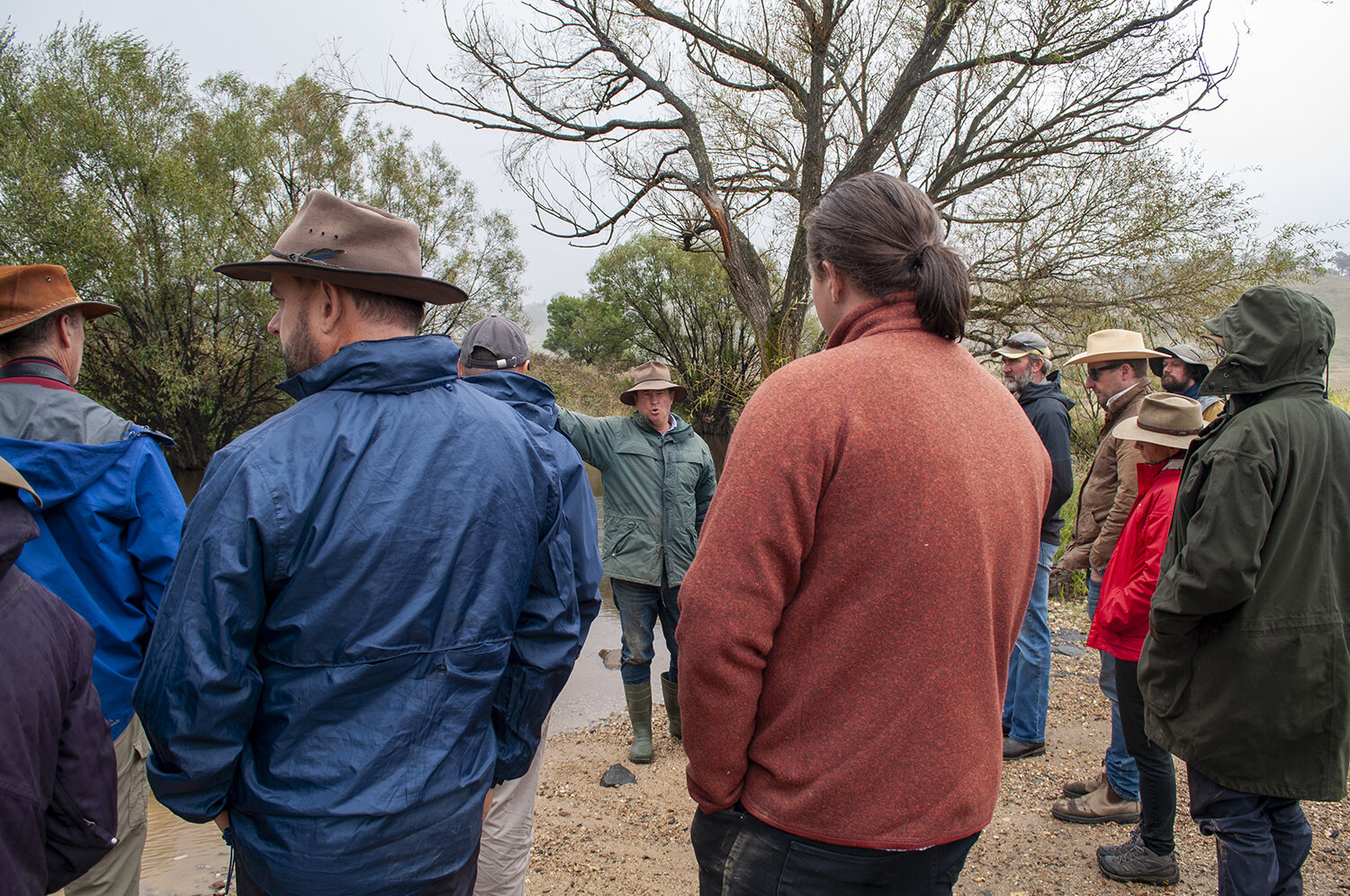
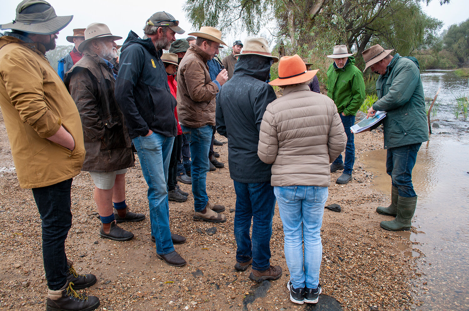
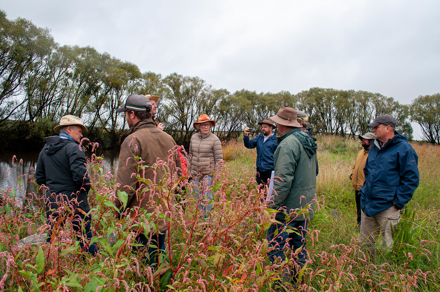
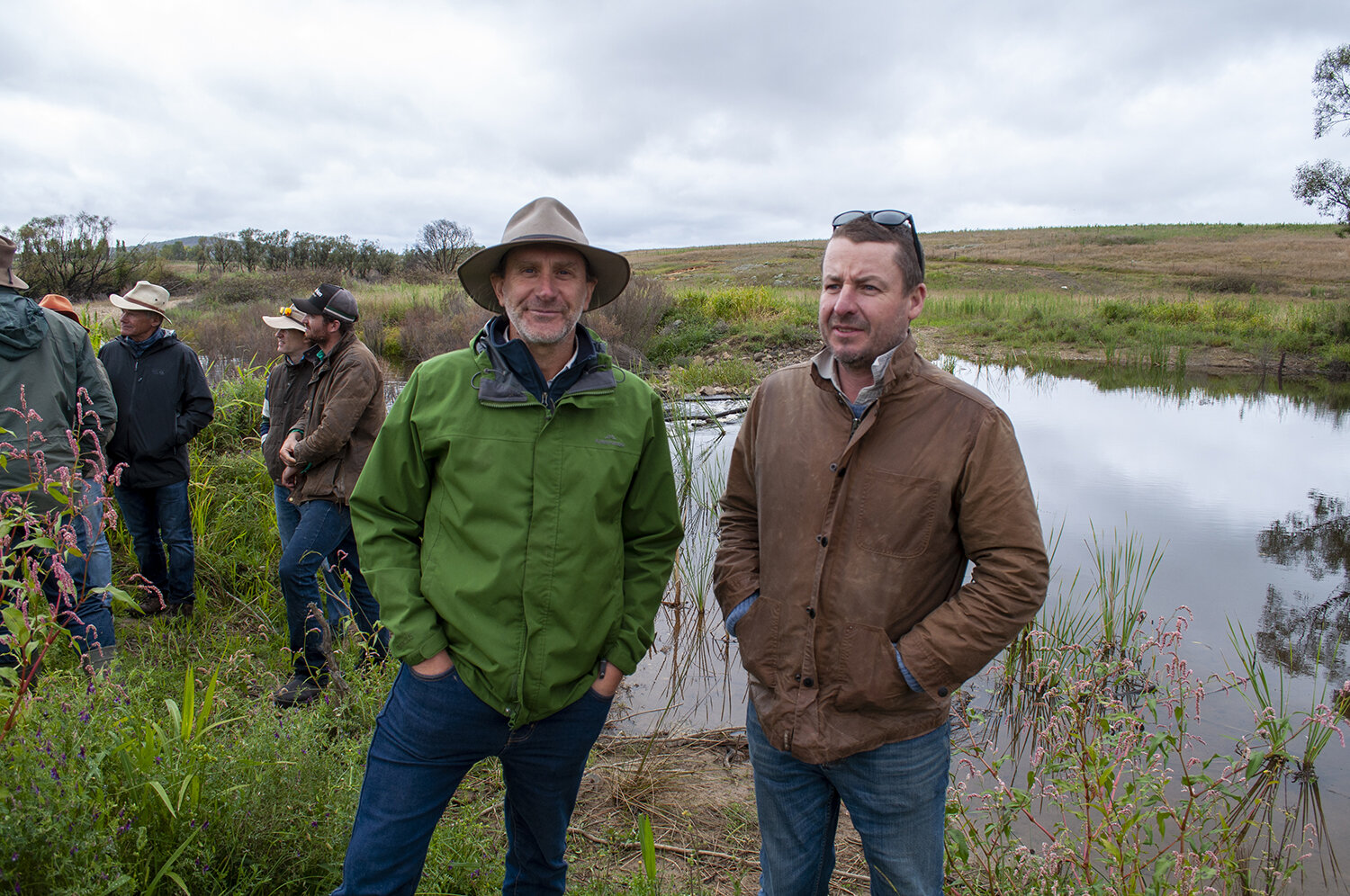
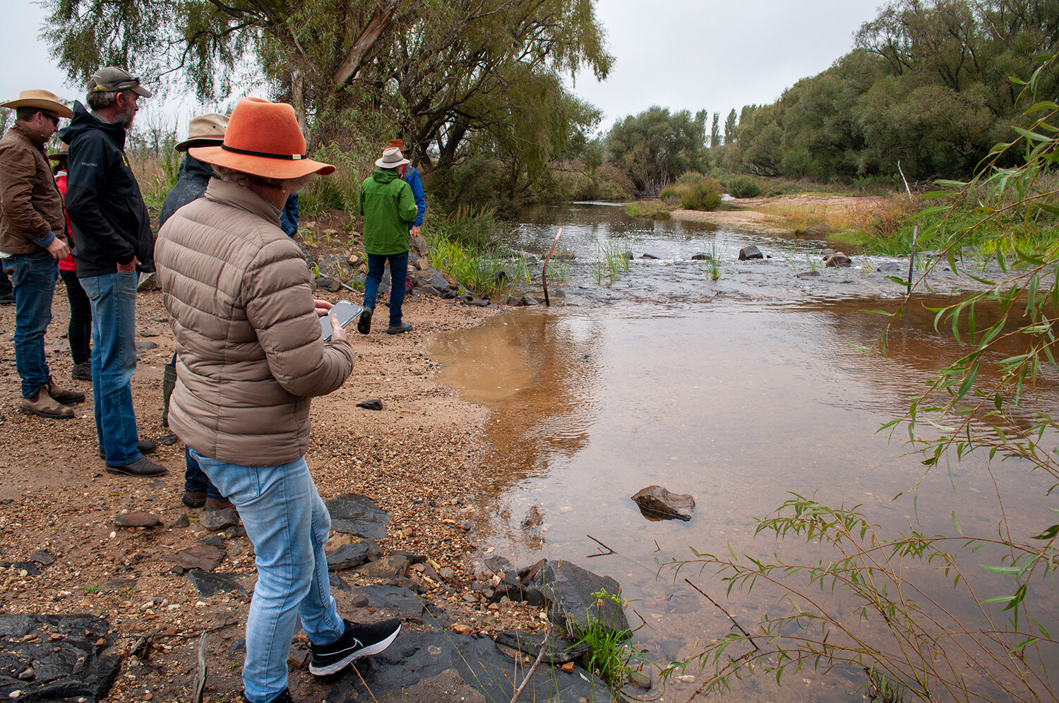
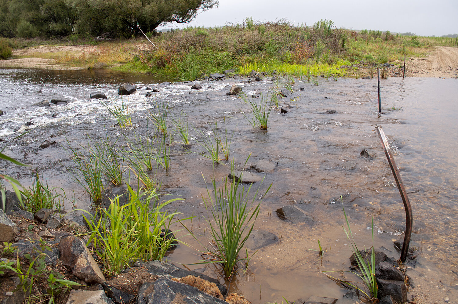
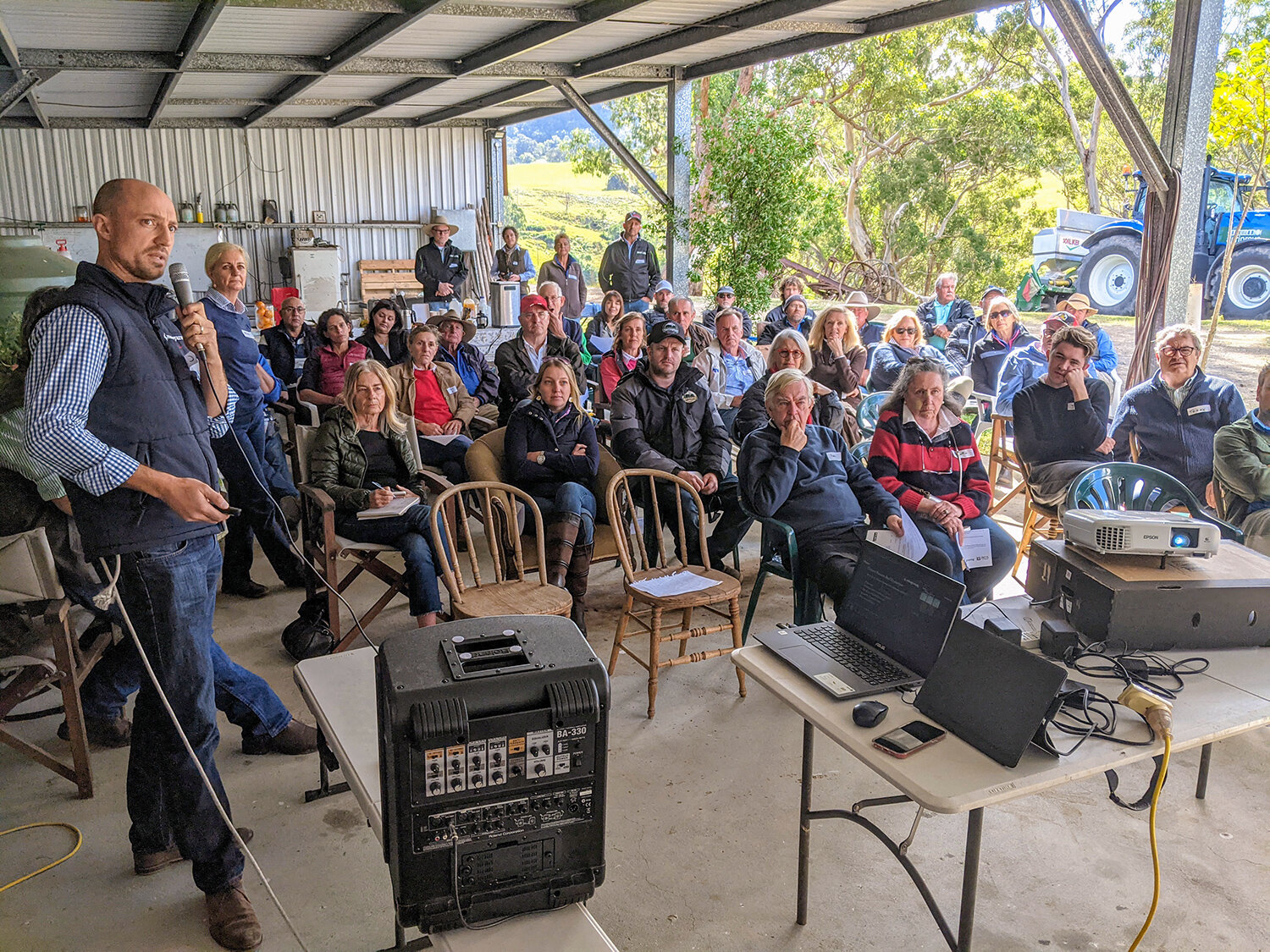
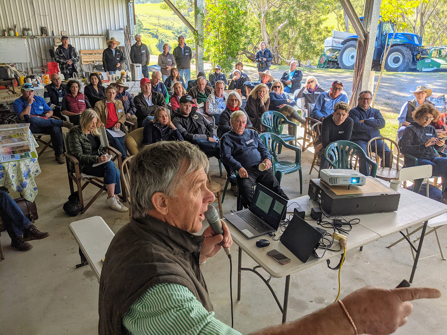
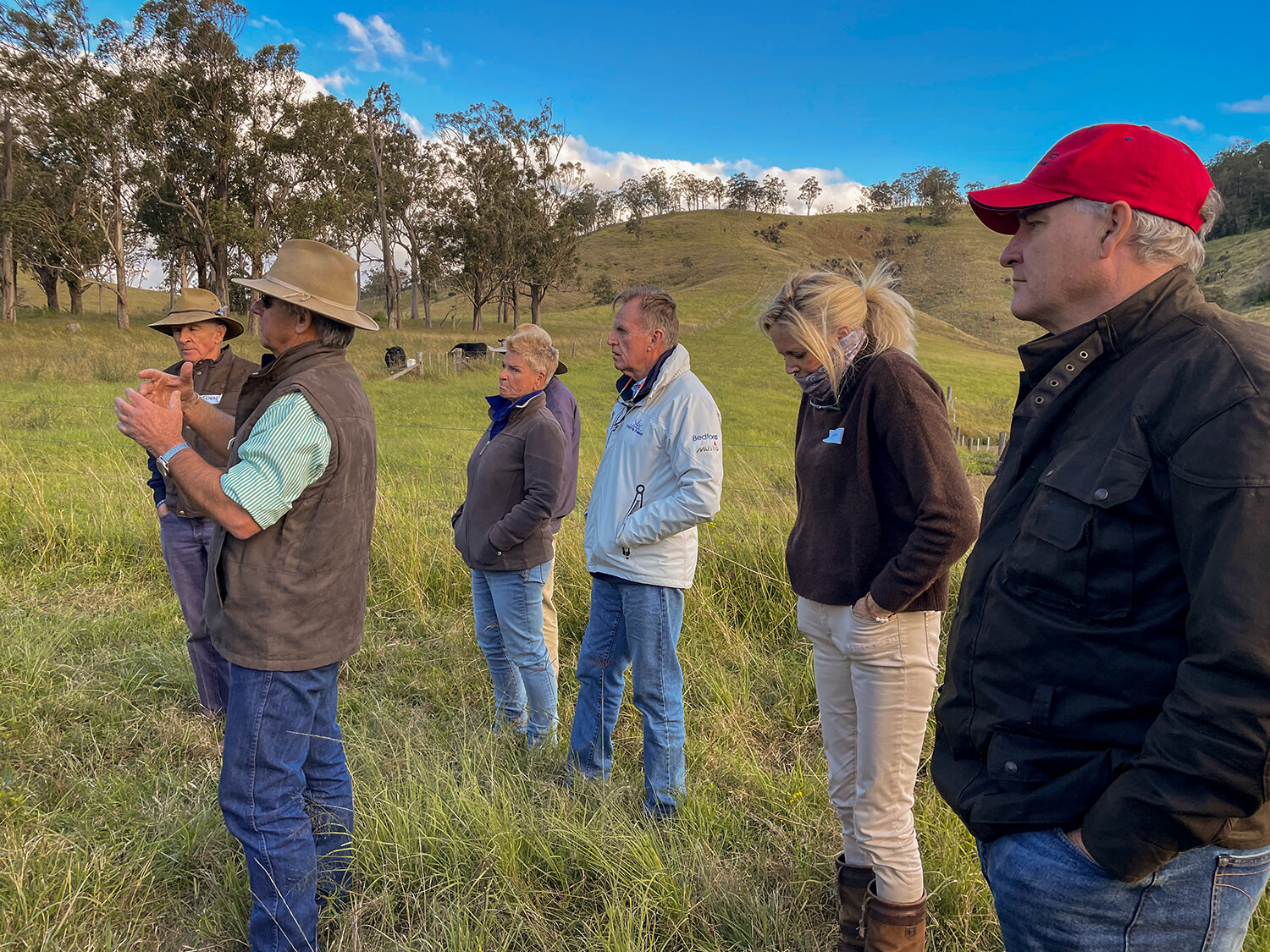
TMI-before-after-mt-pleasant-1500px.jpg

Executive Assistant, Mulloon Institute
https://www.seek.com.au/job/52616880

 Landscape Planner (QLD), Mulloon Consulting
https://nrmjobs.com.au/jobs/2021/20008566/landscape-planner-entry-level

If either of these roles sound like you, please APPLY NOW via the links above.

[Image: Landscape rehydration works at Mt Pleasant Demonstration Hub in northern Queensland where the Mulloon Institute provided created detailed designs and helped implement the on-ground works. This project is an initiative of the NQ Dry Tropics NRM Landholders Driving Change (LDC) ‘Exploring New Incentives’ program. LDC is a Burdekin Major Integrated project funded by the Queensland Government through the Queensland Reef Water Quality Program.] 

Capertee Valley workshop in September 2020.  [Photo: Alex Wisser]

Capertee Valley workshop in September 2020. [Photo: Alex Wisser]

We are super excited to be one of nine projects supported in the latest round of the Australian Government’s Citizen Science grant program!

Almost $4 million has been allocated to projects that offer opportunities for the public to make a significant contribution to scientific discovery.

Minister for Industry, Science and Technology Christian Porter said the grants help to raise community awareness and interest in science, while also providing opportunities for social connection and the development of new skills.

The funding is being provided over four years and is supported under the Inspiring Australia – Science Engagement Programme (IA-SEP). Competitive grants of between $150,000 and $500,000 are allocated to successful projects that support community involvement and participation in scientific research.

We have received $223,115 for our “Modelling Landscape Rehydration for Catchments, Communities and Curriculum” program, which works together with regional communities to help them better understand how local catchments work, with the aim of making changes that can improve soil rehydration, habit, biodiversity and agricultural yields.

Read about all of the supported projects here:: https://www.miragenews.com/citizen-scientists-to-help-in-important-570783/

2021-Resilience-Winter-600px.jpg

The latest news from Mulloon: https://conta.cc/3fXeQ8F

Thirty-one soil moisture sensors from Sentek Technologies are being installed as part of the Mulloon Rehydration Initiative’s monitoring program. They are located at Mulloon Creek Natural Farms (Home Farm & Duralla), at Mulloon Farm North and at Palerang and are being paired with approximately half of the 75 previously installed piezometers.

During their installation, the auger being used to drill the holes where the sensors sit have encountered amazing soil profiles. Sometimes as the auger drove down through the soil layers it slowed considerably due to rock, heavy clay, large gravel, water from an aquifer, and even a fine sandy slurry, which we hope to extract using a special tool to remove the slurry as the auger is unable to retrieve it. As a result, a few of the sensor housings are less than the desired 2m depth depending on the subterranean landscapes, with one reaching only 70cm.

Aquifers have also been hit in 10 of the installation sites with some being quite significant, making it difficult to install the bung (plug) at the bottom of the pipe and set it firmly enough to seal the hole as it is hard pushing water back against so much pressure. (See videos below.)

Data from the fully installed sensors will initially be sent to Sentek and then transferred to HydroTerra where it will be stored in the integrated data management system. This data will accessible by the public in due course, via the HydroTerra portal.

The Mulloon Rehydration Initiative is jointly funded through the Mulloon Institute and the Australian Government’s National Landcare Program. The initiative is also assisted by the NSW Government through its Environmental Trust.


Soil profiles

Many of the sites had a medium to heavy clay layer in the B horizon of the soil that can start as shallow as 60cm depth and can be right through to the 2m depth. The A and B horizons are the top two layers of the soil. The A horizon (topsoil) is where there is most soil life while the B horizon (subsoil) is where clays and materials have washed down from the A horizon.

Many of the sites had a medium to heavy clay layer in the B horizon of the soil that can start as shallow as 60cm depth and can be right through to the 2m depth. The A and B horizons are the top two layers of the soil. The A horizon (topsoil) is where there is most soil life while the B horizon (subsoil) is where clays and materials have washed down from the A horizon.

Further down, this soil is mottled in colour with the ochre colour indicating seasonal inundation of the soil at this depth, with iron causing the rusty colour. This section of soil was a heavy clay with some sand and small gravel. This tends to indicate there may be an aquifer just below that at times rises into this section of soil.

Further down, this soil is mottled in colour with the ochre colour indicating seasonal inundation of the soil at this depth, with iron causing the rusty colour. This section of soil was a heavy clay with some sand and small gravel. This tends to indicate there may be an aquifer just below that at times rises into this section of soil.

The next sample down the hole revealed this heavy clay that could act as an aquitard – a zone within the Earth that restricts the flow of groundwater from one aquifer to another. Aquitards can absorb water and swell up and reduce the amount of water able to pass through them, causing any water above them to move laterally underground. This is turn can produce aquifers that connect to streams or deeper groundwater reserves or feed into the floodplain through old buried stream channels. The light grey mottled soil in this sample has been affected by water inundation and is leached of much of its colour.

The next sample down the hole revealed this heavy clay that could act as an aquitard – a zone within the Earth that restricts the flow of groundwater from one aquifer to another. Aquitards can absorb water and swell up and reduce the amount of water able to pass through them, causing any water above them to move laterally underground. This is turn can produce aquifers that connect to streams or deeper groundwater reserves or feed into the floodplain through old buried stream channels. The light grey mottled soil in this sample has been affected by water inundation and is leached of much of its colour.

Continuing down the hole, this sandy clay with small gravel contains much water from a shallow but small aquifer. The size and shape of the sand and gravel indicates that this was once an old, shallow waterway that has long since been buried by successive floods, depositing soil and organic matter onto the floodplain.  

Continuing down the hole, this sandy clay with small gravel contains much water from a shallow but small aquifer. The size and shape of the sand and gravel indicates that this was once an old, shallow waterway that has long since been buried by successive floods, depositing soil and organic matter onto the floodplain.  

Further down, the auger encountered sand with larger, more angular gravel in a slurry with some clay. This indicates that the buried old waterway (approx. 1.1m at depth) was at one stage having quite a flow of water to deposit such material. Due to the nature of this buried flow line when water enters this section it is able to move more easily than if it were clay.

Further down, the auger encountered sand with larger, more angular gravel in a slurry with some clay. This indicates that the buried old waterway (approx. 1.1m at depth) was at one stage having quite a flow of water to deposit such material. Due to the nature of this buried flow line when water enters this section it is able to move more easily than if it were clay.


Aquifers

At other times the auger hit a pressurised aquifer which forced water back up the pipe and needed to be pumped out and promptly plugged to prevent further inundation.

Sometimes augers hit aquifers that can be under pressure and force water up into the access tube which then has to be bailed out and promptly plugged to prevent further inundation. Some installations had to be abandoned completely and resituated when rock was encountered too close to the surface.

INSTALLATION

The science team have been flat out over the last few months installing soil moisture sensors across the Mulloon catchment as an important part of the Mulloon Rehydration Initiative’s integrated monitoring program. While installation had initially been held up by Melbourne’s COVID lockdown which prevented HydroTerra team members from bringing sensors and installation kits to Mulloon. Work finally got underway when Dominic Dillon and Ben Butson were able to travel to Mulloon and work with Tony Bernardi, Joe Skuse and Luke Peel for the first week of installation. Since then Tony, Joe and Luke have continued the installation and now nearly all of the 31 Sentek sensors have been installed.

Installing these sensors involves using a purpose built auger to drill a hole into the ground from within a PVC access tube. When the auger has extracted approximately 40cm of soil, the access tube is driven into the subsequent precision hole with a sledge hammer and dolly. This process continues until reaching the preferred depth of 2m, and a ‘plug’ or bung is set into the bottom of the pipe to seal it and prevent water from entering the tube. Then the sensor is lowered into its new home and connected to the data logger and telemetry system to send data back to base.

Read more about the soils and aquifers that were encountered during installation, in ‘What Lies Beneath?’.

How it measures

For each site there are six sensors attached to a central spline at the required depths, so that for a standard hole (2m) the sensors are arranged at 10, 30, 50, 80, 100, 150cm but can be adjusted depending on final depth of the access tube. The depth taken by the bung and internal computing board also have to be taken into account as they take up approximately 40cm at the bottom of the access tube. 

There are six of these dual bands of copper along the sensor. Each band produces an electric field that arcs from one ring to the other and in doing so arcs through the adjacent soil layer, measuring soil moisture. Measurements are taken every five minutes.

There are six of these dual bands of copper along the sensor. Each band produces an electric field that arcs from one ring to the other and in doing so arcs through the adjacent soil layer, measuring soil moisture. Measurements are taken every five minutes.

Each sensor sits flush with the access tube which is directly in contact with the surrounding soil (due to precision augering) and measures soil moisture by emitting an electric field out into the soil, to between 5 and 10cm. The frequency of this electric field changes in response to the soil’s dielectric properties (conductivity), providing measurements that are calibrated into volumetric water content (numerical measure of soil moisture). This is why the tube needs to be firmly plugged and desiccant attached to the sensor centre spline to keep everything inside dry.  

Measurements from the sensors are sent to a logger box nearby via cable and a modem transmits the data to Sentek and also into the integrated monitoring system designed and run by HydroTerra. 

Soil moisture sensor resting on fence before installation. Behind Tony is the logger box with small booster antenna, which is powered by battery and solar and will transmit collected data via the mobile network.

Soil moisture sensor resting on fence before installation. Behind Tony is the logger box with small booster antenna, which is powered by battery and solar and will transmit collected data via the mobile network.

Why measure soil moisture?

At the surface level, while a rainfall gauge can help distinguish between rain and irrigation applications, only a soil moisture probe can show you how much of that rain has moved through the soil to the roots of the crop.

Increases in soil moisture can be attributed to irrigation, rainfall, overland flow from higher to lower lying areas, rising water tables, or if groundwater is able to rise up into the soil profile, due to capillary action and or plant roots. While decreases in soil moisture content can be attributed to water draining (gravity), evaporation from soil surface, plants transpiring water, and how much travels through to groundwater recharge.

Our scientists will be using the soil moisture data to measure and evaluate how landscape rehydration works in the MRI impact soil moisture levels. Tracking water movement through a combination of soil moisture sensors, climate stations, and piezometers measuring groundwater, scientists aim to identify how water moves through the landscape (surface and sub-surface). 

When combined with other data such as satellite monitoring products by Cibo Labs and fauna monitoring (frogs, fish, aquatic invertebrates, birds etc), the data will be used to evaluate the co-benefits for productivity and environmental outcomes. This is of significant value to landholders taking part in the MRI who will be able to access the data and make more informed land use and management decisions, while also gaining a better understanding of how their properties operate, and the significant improvements in productivity, water quantity and quality and other environmental benefits.

The Mulloon Rehydration Initiative is jointly funded through the Mulloon Institute and the Australian Government’s National Landcare Program. The initiative is also assisted by the NSW Government through its Environmental Trust.

In late March 2021, another flood event occurred in the Mulloon catchment which amazingly means two ‘1-in-50-year’ flood events in little more than six months!

The water looks muddy because of erosion from the fire affected parts of the catchment upstream of the project area. However, again thousands of tonnes of silt was caught on the floodplain.

So, what did the stream gauges show us?

Structure DM6 looking upstream towards DM8, at Mulloon Creek Natural Farms.

Structure DM6 looking upstream towards DM8, at Mulloon Creek Natural Farms.

Mid Mulloon gauge

Mid Mulloon gauge

Mid Mulloon gauge

This graph demonstrates that the March 2021 flood didn’t peak quite as high as the 2020 flood at the ‘Mid Mulloon’ gauge but that the volume throughout the entire event was far greater.


Lower Mulloon gauge

Lower Mulloon gauge

Lower Mulloon gauge

At ‘Lower Mulloon’, the water has overtopped the bank in both 2020 and 2021, which is why both curves flatten out, but the 2020 flood over banked for a longer period of time.

The slightly higher level at ‘Lower Mulloon’ in 2021 could be because there is now more grass along the banks and on the floodplain forcing the level higher in the channel.

This data forms part of the ongoing scientific monitoring for the Mulloon Rehydration Initiative which is jointly funded through the Mulloon Institute and the Australian Government’s National Landcare Program. The initiative is also assisted by the NSW Government through its Environmental Trust.


Landholders from Turnip Creek near Benalla, Victoria visited the Mulloon Institute to learn more about the Mulloon Rehydration Initiative and view landscape rehydration works (leaky weirs), functional catchment restoration and regenerative farming practices. They viewed various leaky weir structures that have been installed along Mulloon Creek at the Duralla property as well as the suitably impressive growth that has occurred on the floodplain since rich nutrients were deposited there during recent floods.

This group of landholders are contemplating the implementation of a catchment scale project along Turnip Creek – we wish them all the best! 

The Turnip Creek group was also joined by 16 staff from Bush Heritage Australia, including immediate Past President Chris Grubb, Healthy Rangelands Manager SA Rangelands Glen Norris, and Ecologist Paul Foreman.

The following day the group visited Martin Royds’ Jillamatong property in Braidwood to see similar techniques that have been implemented there.

PRIVATE EDUCATIONAL TOURS

If your Landcare group, organisation or school are interested in a similar workshop or a tour of Mulloon Creek, please contact us via info@themullooninstitute.org

The Mulloon Rehydration Initiative is jointly funded through the Mulloon Institute and the Australian Government’s National Landcare Program. The initiative is also assisted by the NSW Government through its Environmental Trust.

There was great interest in the recent ‘Landscape Rehydration’ workshop held at the Old Wallaringa property near Dungog in NSW with 45 participants attending in testing and windy conditions.

Presentations took place in the shed during the morning with a very welcome fire nearby to keep us warm. The Mulloon Institute’s CEO Carolyn Hall spoke about the Mulloon Rehydration Initiative and landscape rehydration more broadly. Guest speakers included Col Feilen who spoke about Maia Grazing and carbon credits, James Barnett from RCS Australia who spoke about grazing management principles and Philippa Graham who spoke about the Arts in the Dungog area. 

The presentations from the three organisations complimented each other well, with a common message around land management, fertility and grass production for the profitability of any farming operation.

After a warming lunch and valuable local networking, TMI’s Research Coordinator Luke Peel took the group for a farm walk, where he spoke about landscape rehydration and reading the landscape.

One participant commented, “The potential in rehydrating our farms and land use, that to me is common sense, and understanding and reading the land has always been intuitive to me and fascinated me. To listen to Carolyn and Luke and the other presenters yesterday… well, I could follow them around forever. At last, I’ve found people who truly understand what I’ve been talking about for so long! I would love to visit any projects you are involved in.”

Presentations

Mulloon Rehydration Initiative introduction – Carolyn Hall, Mulloon Institute

Pasture, Carbon & Credits – Col Fielen, MaiaGrazing

L-R: Matt Egerton-Warburton (MLC Chair), Mark Beaufoy, Wilfred Finn, Dr Gerry Bates

L-R: Matt Egerton-Warburton (MLC Chair), Mark Beaufoy, Wilfred Finn, Dr Gerry Bates

Did you know 42% of NSW was Crown Land?

Prof Richard Bush GAICD, the Crown Land Commissioner, is conducting a review into the effectiveness of the Crown Lands Management Act.

The Law Committee of The Mulloon Institute (which now includes Dr Gerry Bates) submitted our comments on the Act last week (attached).

Our premise is that, at present, the Act is focused on the protection and conservation of the current landscape, but the problem is that the current landscape is dehydrated and degraded.

Therefore, it is not enough to preserve the land in its current state – the Act should proactively encourage and facilitate the rehabilitation and rehydration of Crown land.

We suggest amendments to the Act which:

  1. allow lessees to construct Landscape Rehydration Works (including leaky weirs) without the need for Crown approval;

  2. incentivise lessees to construct Landscape Rehydration Works;

  3. encourages the Crown to rehydrate its land; and

  4. encourages the Crown to commission one major Western District catchment pilot project.

The committee have recently submitted these papers: 

The Mulloon Law Committee advises the Mulloon Institute’s Board on specific legal and regulatory issues, with their initial task being to review approvals needed to implement catchment remediation projects and to suggest and lobby for sensible legislative and regulatory reforms.