The Friends of Grasslands group visited the Home Farm in June and published this piece by Ann Milligan and Margaret Ning in their most recent newsletter. We’re pleased to reproduce it here with permission.
The part of Mulloon Home Farm we visited on Friday afternoon 20 June is not only beautiful but also a rich example of natural temperate grassland (NTG). Our group’s attention was engaged for over 2 hours as we wandered across the valley sides and hilltops, spotting plant species until the sun sank into the western hills.
We were welcomed and accompanied by Peter Hazell and his three offsiders (Chris, Louis and Colby) who manage the property, its vegetation, livestock, natural assets and science. After acknowledging Traditional Owners and Elders, Peter explained the importance of bringing this land (at the top of the Great Dividing Range locally) into excellent ecological condition. First, it is significant to local Indigenous groups. Second, it is in the mid-reaches of the Mulloon Creek catchment (part of the Shoalhaven River catchment) and is a demonstration area for natural rehydration of agricultural catchments.
Around 2006 the owner, the late Tony Coote, decided to test Natural Sequence Farming – a system of managing catchment water flows devised by a NSW farmer named Peter Andrews – which consists of the partial damming of natural gullies and small creeks such as occurs when, say, rocks and branches accumulate in one place. This system of leaky weirs aims to imitate the chains of ponds that used to occur naturally along creeks before Europeans started clearing land for agriculture. Often those natural ponds would stay bank-full even when the creek had long since ceased to flow, because the ponds were connected to underlying floodplain aquifers. This helped keep the surroundings alive.
The Mulloon farms and all the landholders along the Mulloon Creek are installing leaky weirs now to slow the flow of water that would otherwise drain quickly off these upland water catchments after rainfall. The resulting ponding and slower flow keep the banks above the gullies wetter (rehydrated) and better able to maintain their plant cover. Monitoring of stream flow since 2006 suggests there is no apparent detriment to the landholders downstream of Mulloon Creek along the water’s journey to the Shoalhaven.
Photo gallery supplied by Friends of Grasslands
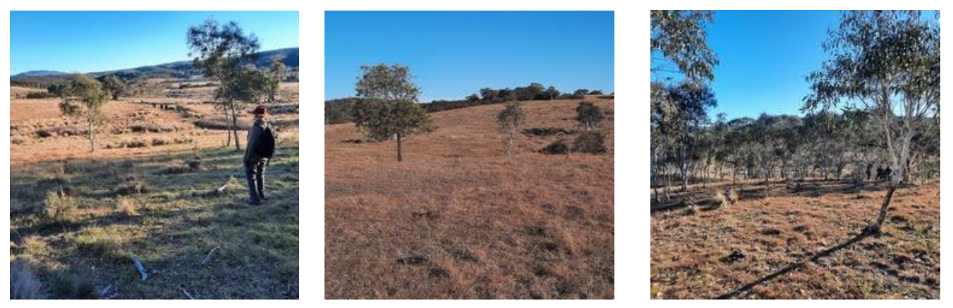
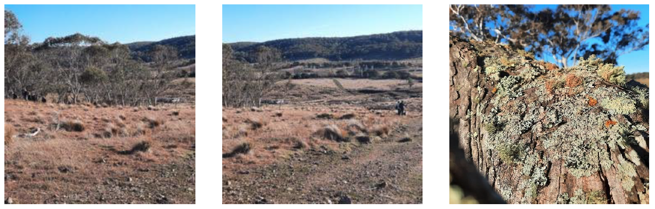
Our group walked slowly, heads bent, cameras clicking, across the large paddocks on the hillside and hilltop and valley bottom (the subcatchment) exploring the numerous grassland species. There is a west-facing hillside stand of snow gums (Eucalyptus pauciflora), and a hilltop stand of E. mannifera, and remnant very old E. dives. There are expanses of pinkish Themeda (middle photo above) on the slopes and ridges, easily seen from a distance by the colour. Grasses on the eastern facing slope include Dichelachne. Beyond the creek at the valley bottom is a green and orange dirt heap remaining from former copper mining.
The subcatchment we explored is being considered by the NSW Biodiversity Conservation Trust for possible funding to support its management as grazed natural grassland and woodland, Peter said.
The main aim of our visit was to determine if the area we explored was in fact NTG, and it didn’t take us long to compile a plant list of just under 70 species to confirm that. In our group we had a keen lichen enthusiast who assured us that we would also have sighted a minimum of 20 lichen species (photo on the right above) during the course of the afternoon.
Thank you, Peter and team, for welcoming us and for suggesting we come back sooner rather than later!
All photos in this article are by Ann Milligan