From frog surveys and soil monitoring to new data systems and scientific publications, the Mulloon team continues to build the long-term evidence base for landscape rehydration in Australia and beyond.
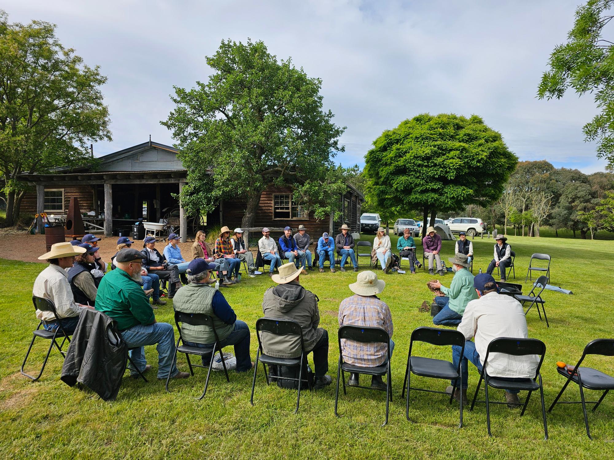
Over the past several months, the team has continued supporting the long-term vision of the Mulloon Rehydration Initiative (MRI) – restoring hydrological function and landscape health across the Mulloon Creek catchment. Through a combination of field monitoring, spatial analysis, technology development and collaborative research, our work aims to better understand how landscape rehydration can improve ecological function, biodiversity, drought resilience and farm productivity.
A major focus this period has been on strengthening the data and monitoring systems that underpin the MRI. After more than a decade of monitoring across the catchment, the project has generated a significant body of environmental data. The team has been working to catalogue and organise these datasets, ensuring they remain accessible and useful for future research, reporting and decision-making.
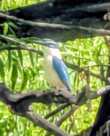
Pictured at right: Sacred Kingfisher spotted near Peter’s Pond, Home Farm, Mulloon.
Pictured at top: Walbunja Rangers, Laura and Ryan sharing knowledge on brush pack work at the homestead at Home Farm, Mulloon.
Alongside this, we have continued developing automated monitoring and mapping workflows that streamline how environmental data is processed and analysed. These tools support tasks such as groundwater sensor processing and terrain analysis from digital elevation models, helping reduce manual processing while improving consistency across monitoring programs.
The team has also been contributing to the development of the Landscape Function Toolkit (LiFT), which aims to help landholders and practitioners monitor landscape condition using practical indicators that link soil, water, vegetation and landscape processes.
The team is currently finalising the second peer-reviewed research paper from the Mulloon Rehydration Initiative, further strengthening the scientific evidence emerging from the catchment.
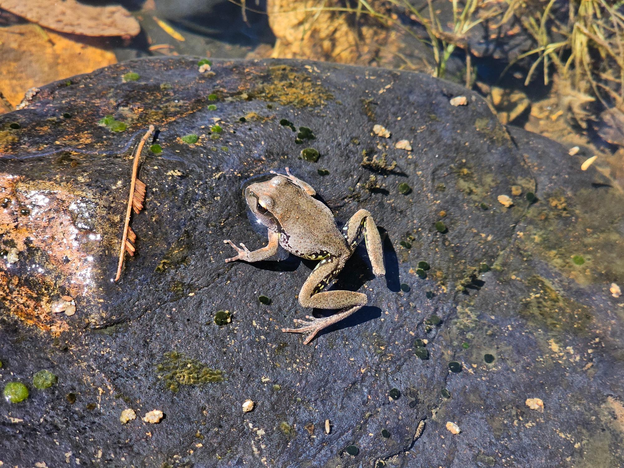
In November, we conducted the annual spring frog survey, helping track amphibian diversity across the catchment – an important indicator of wetland and riparian ecosystem health.
Pictured right: Lesueur’s Stony-creek Frog Rhyaconastes lesueuri, taken at Home Farm, Mulloon.
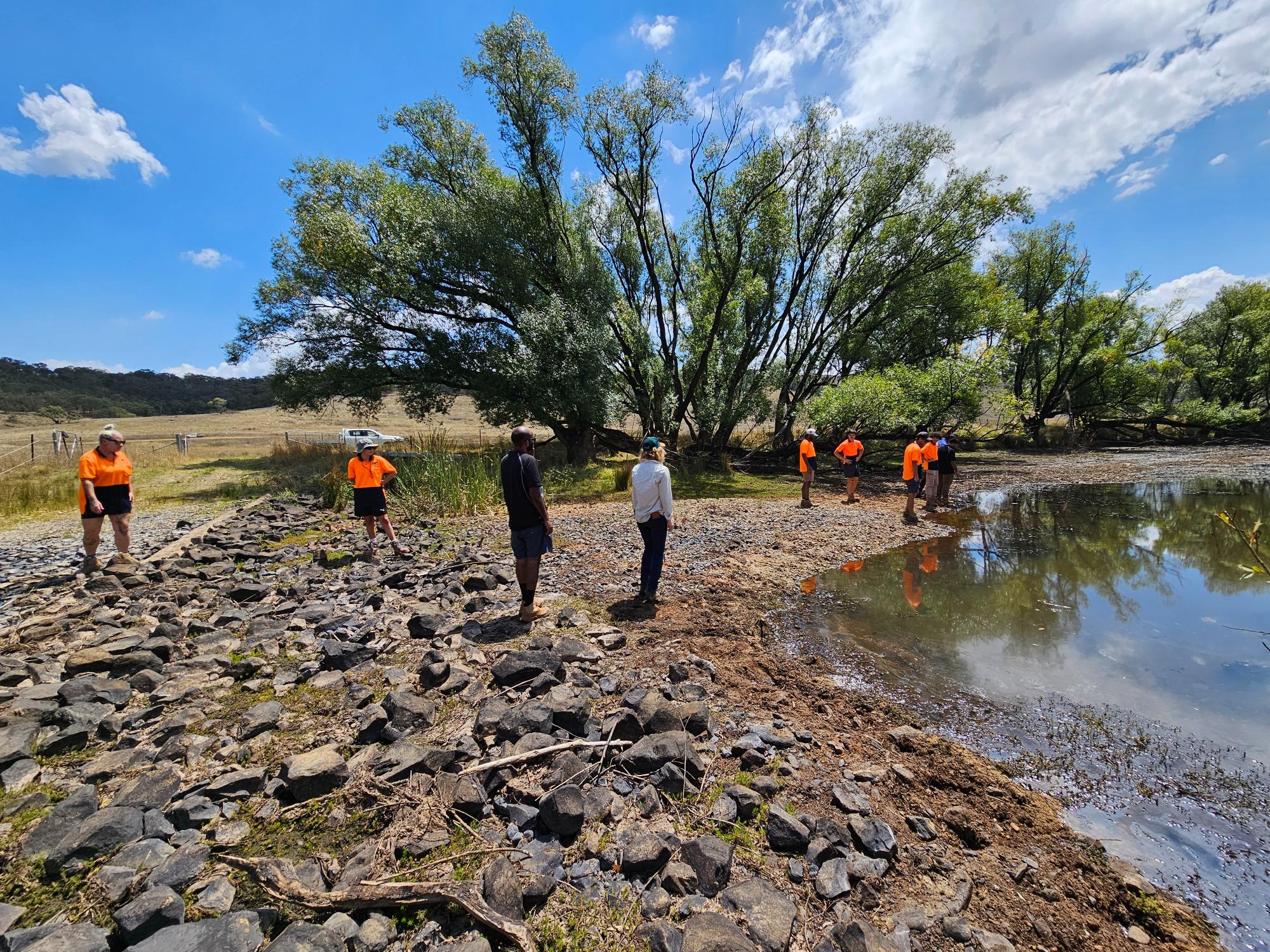
We were also pleased to host members of the Walbunja Ranger Group for a visit to the Mulloon catchment, sharing knowledge about landscape restoration and discussing connections between cultural land management and catchment-scale rehydration.
Pictured below: Walbunja Rangers, Laura and Ryan sharing knowledge on the in-stream structures at Honeymoon Crossing, Palerang.
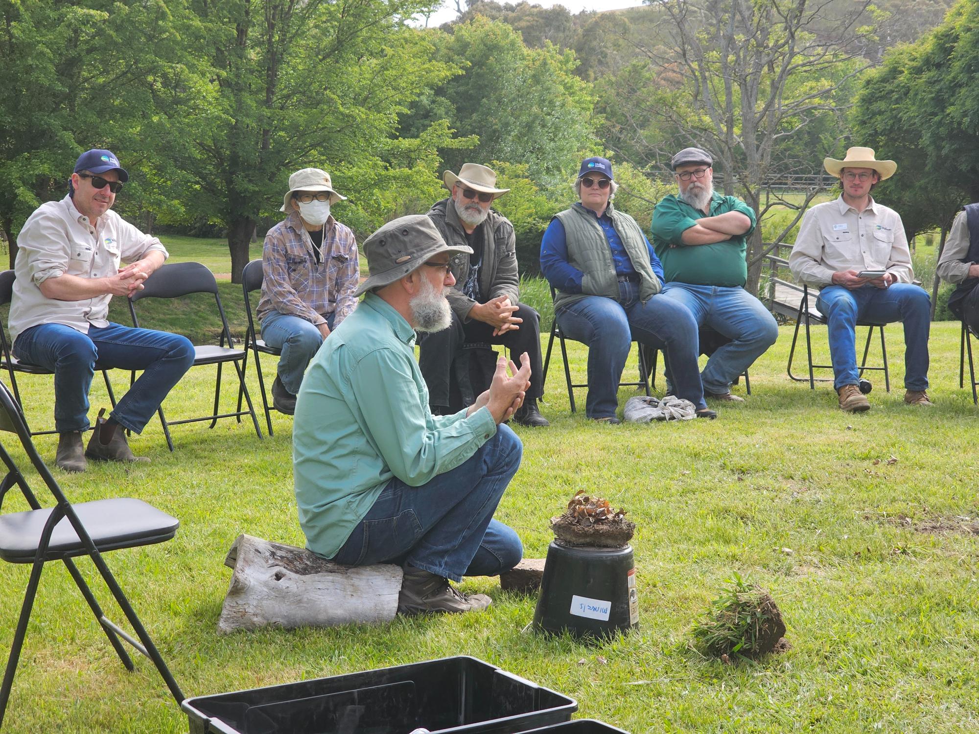
Pictured at right: Sharing knowledge on how water moves through landscapes using the Stream table at the barn at Home Farm, Mulloon.
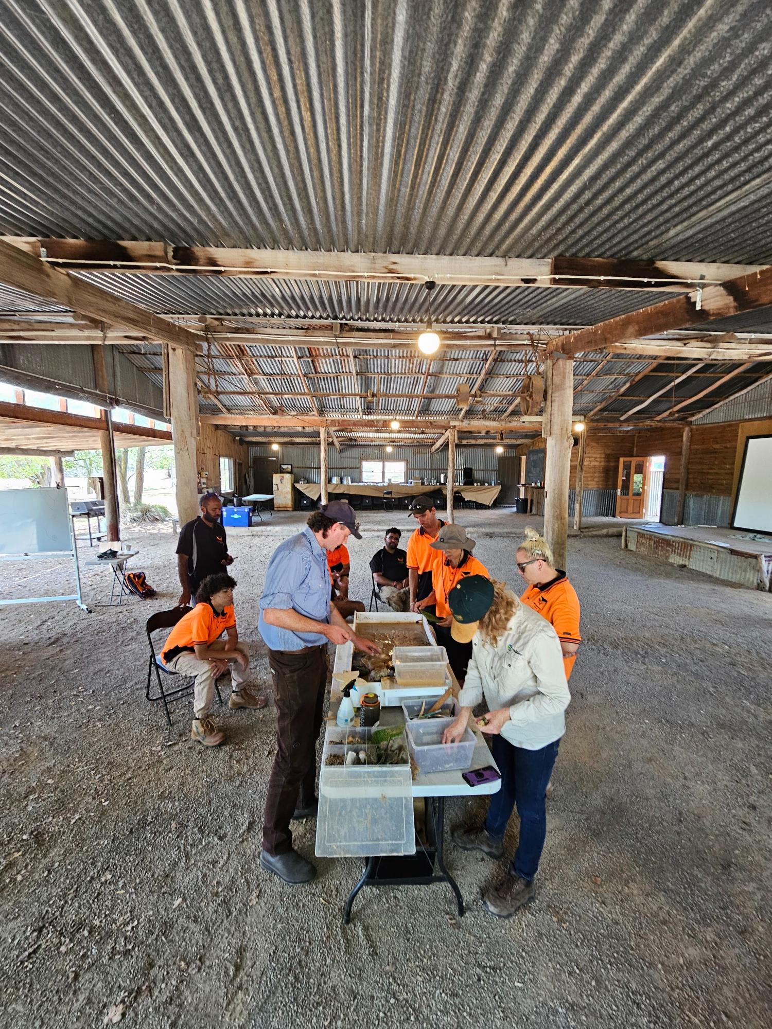
Mulloon also hosted Soil Health Days with David Hardwick and the team from Soil Land Food, demonstrating the Holistic Assessment of Soil Health (HASH) method and providing hands-on insights into soil condition and landscape function.
Pictured: David and the Soil Land Food team demonstrating the importance of Soil Health and the use of the HASH Tool.
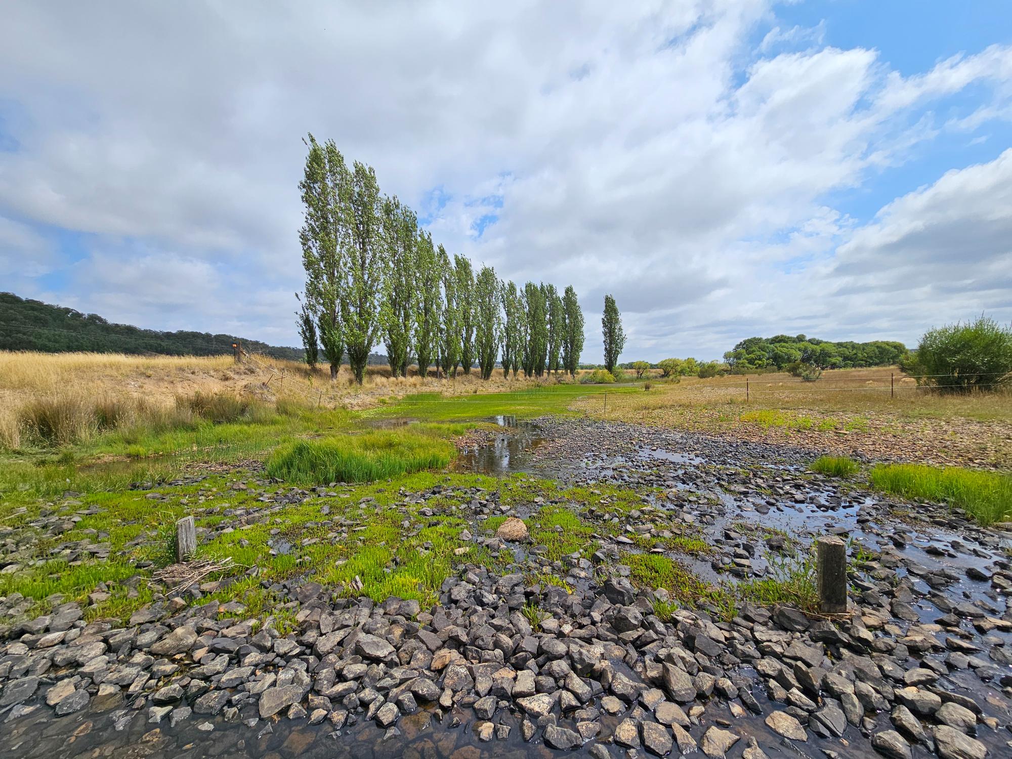
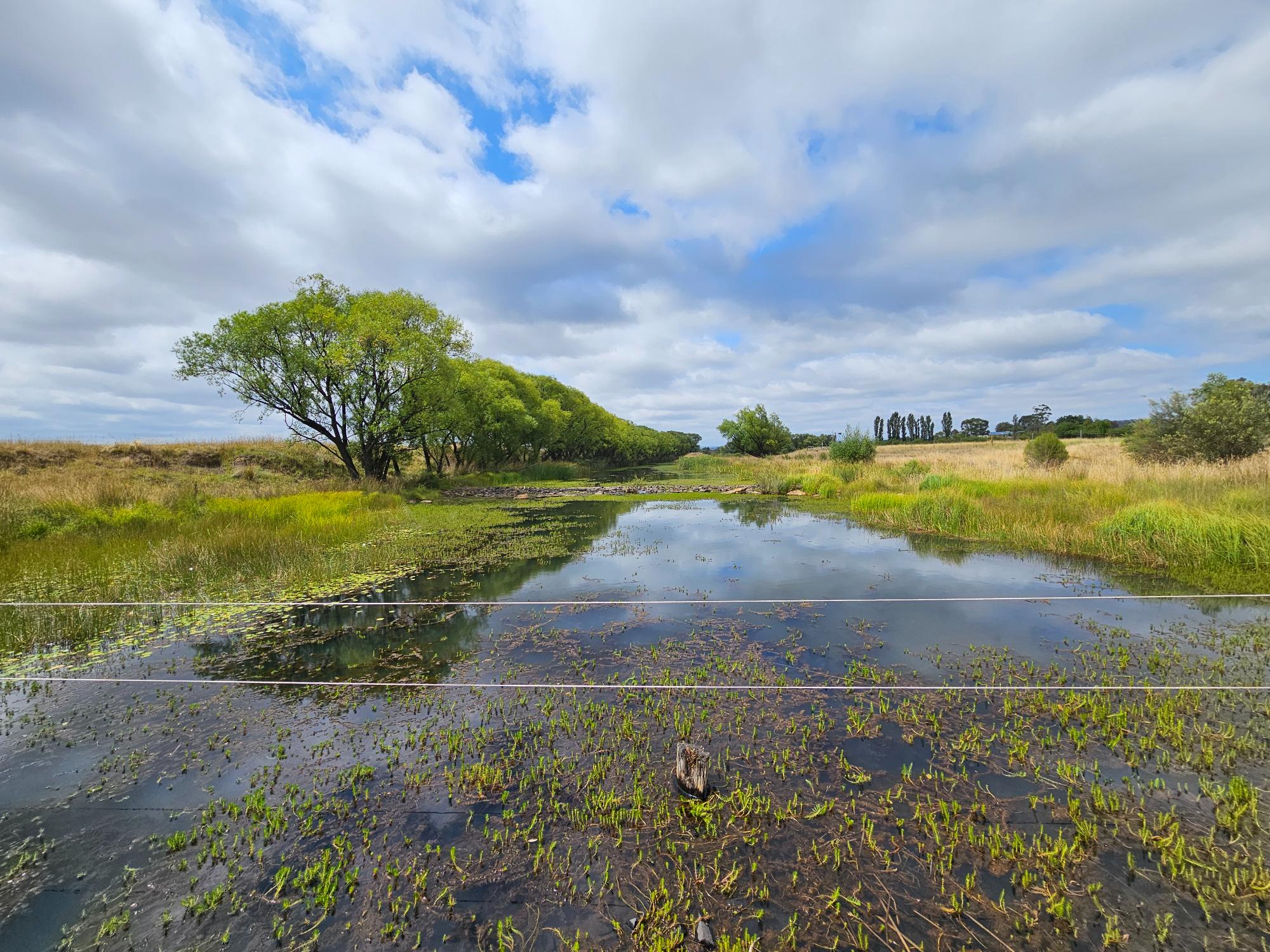
Water levels were getting lower in Mulloon Creek over the drier periods lately.
Pictured above left: View downstream from Palerang Crossing – water is still flowing through the structure.
Pictured above right: View upstream from Palerang Crossing – water is still present in the ponds supporting vegetation regeneration.