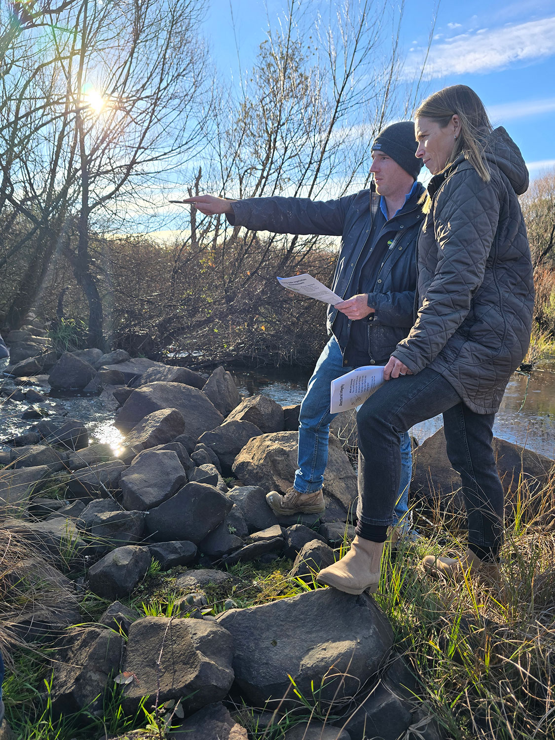
Monitoring remains at the heart of the Mulloon Rehydration Initiative (MRI), providing the long-term evidence needed to understand how landscapes respond to restoration and how those changes translate into healthier ecosystems, improved water security and increased resilience to climate extremes. Over the past six months, the Science & Monitoring team has continued collecting and analysing environmental data across the Mulloon catchment, strengthening one of Australia’s most significant landscape rehydration evidence bases. (pictured above, the team knowledge sharing with the wider team at Home Farm, June 2026)
Across the Mulloon catchment, field monitoring has continued to track groundwater levels, streamflow, soil moisture and ecological indicators, contributing to nearly two decades of continuous monitoring within the MRI. This long-term dataset helps Mulloon Institute and the Science Advisory Committee build a deeper understanding of how rehydrated landscapes function through changing seasonal conditions, droughts and flooding rains.
A significant focus during this period has been the ongoing development of MRI’s data management systems. Working with HydroTerra, Mulloon Institute has continued advancing its data catalogue and monitoring infrastructure, ensuring valuable datasets remain accessible, traceable and ready to support future research and reporting. This project has been facilitated by STREAM coordinator, Chris Inskeep. The cataloguing of environmental information collected over many years is an important step in transforming monitoring data into practical knowledge that can inform landscape restoration across Australia.
The team has also been heavily involved in field data collection for new Mulloon projects, undertaking turbidity monitoring, baseline surveying and repeat photopoint surveys before, during and after works. These datasets provide critical information on short-term construction impacts while also contributing to the longer-term assessment of how restoration interventions influence water movement and landscape function. Long-term monitoring using the new Structure Health Scorecard method allows Mulloon to track the health of bed control structures and plan any future maintenance.