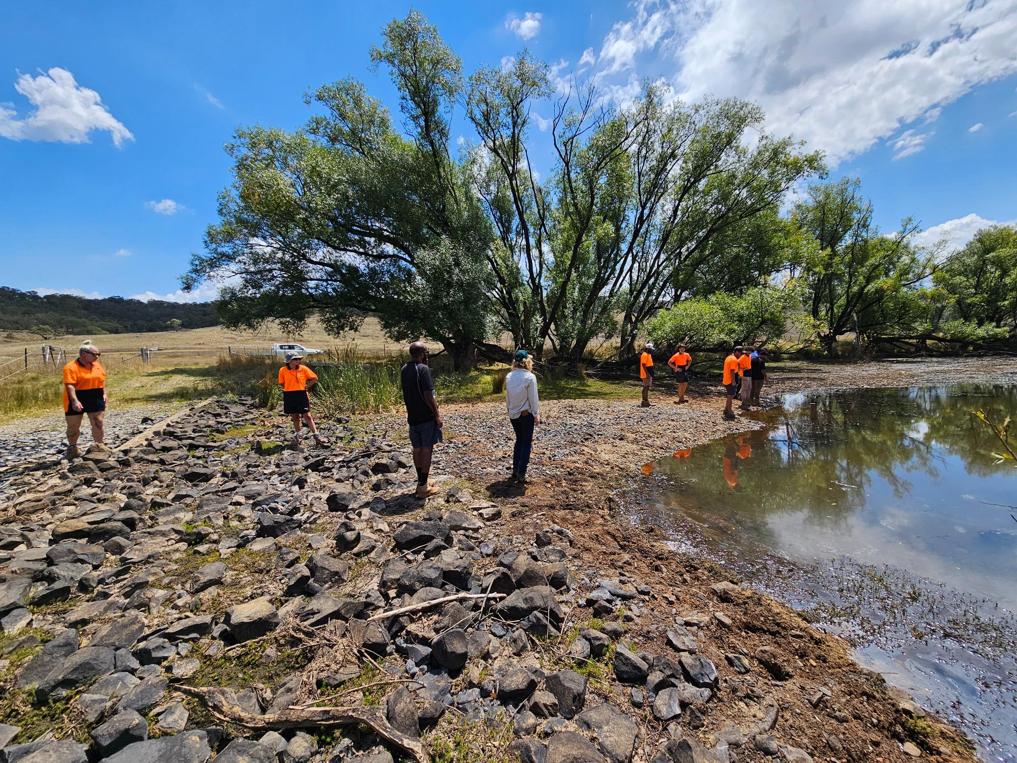
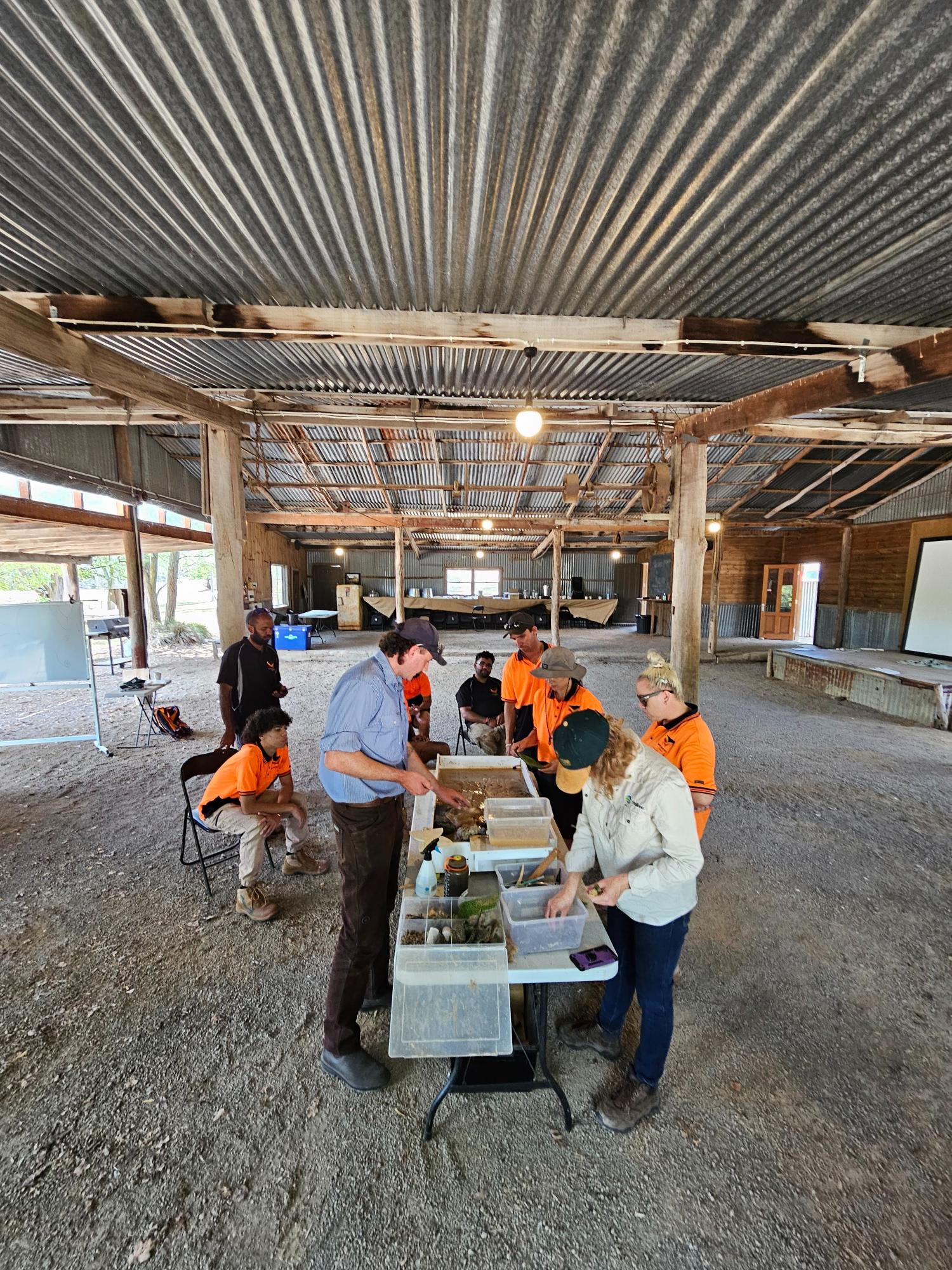
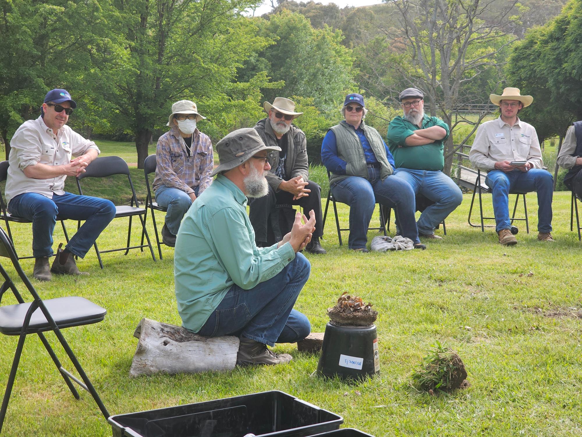
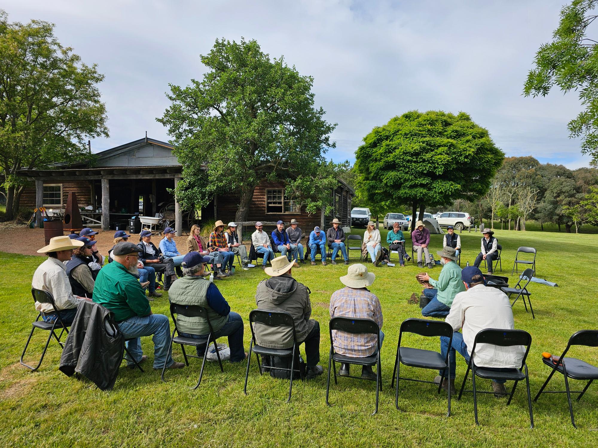
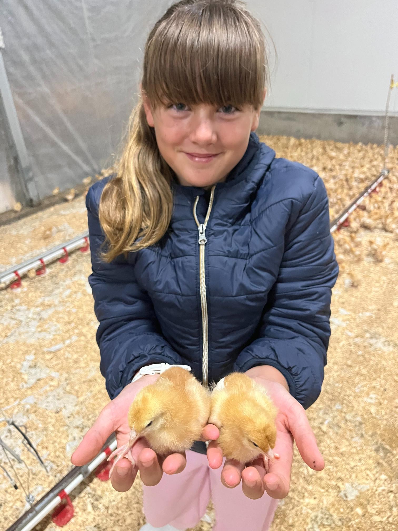
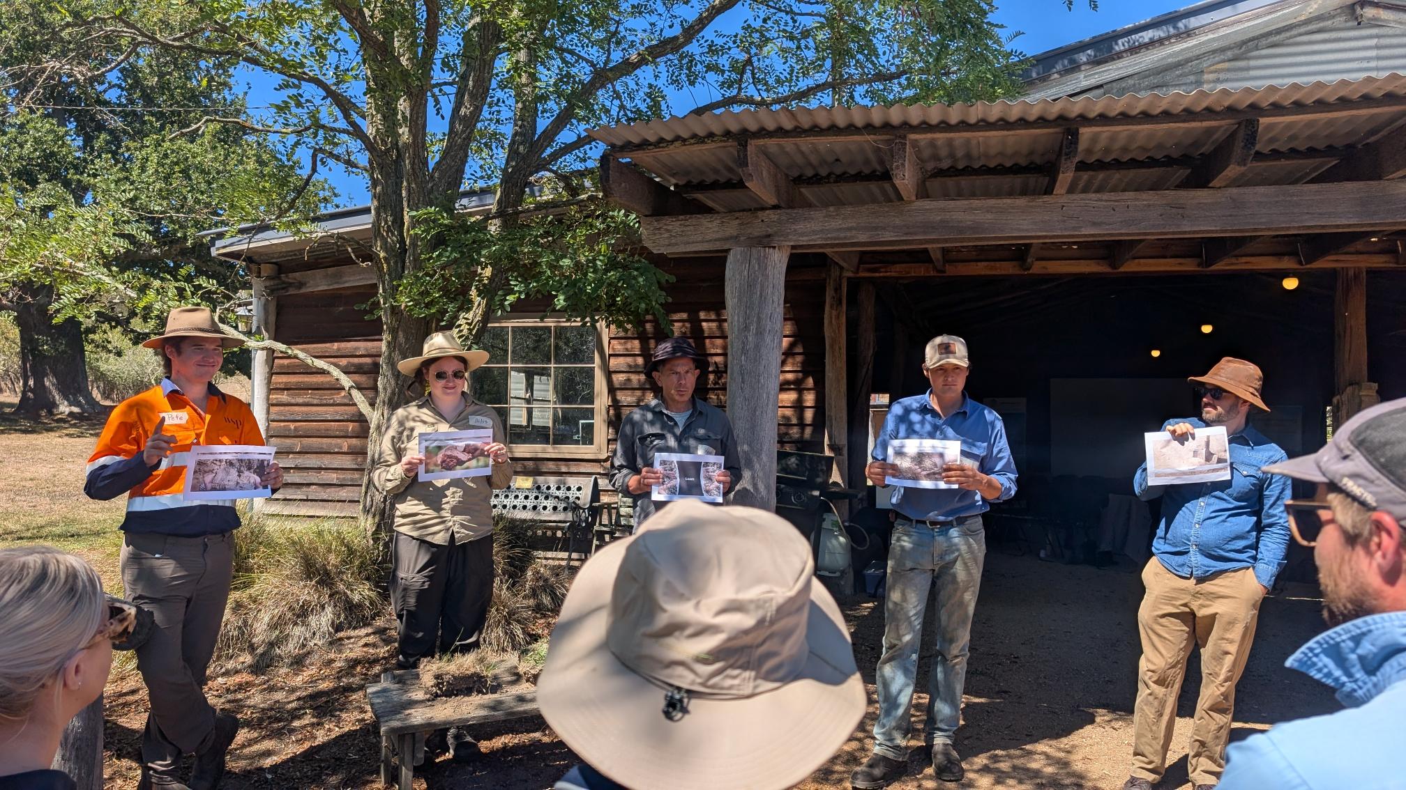
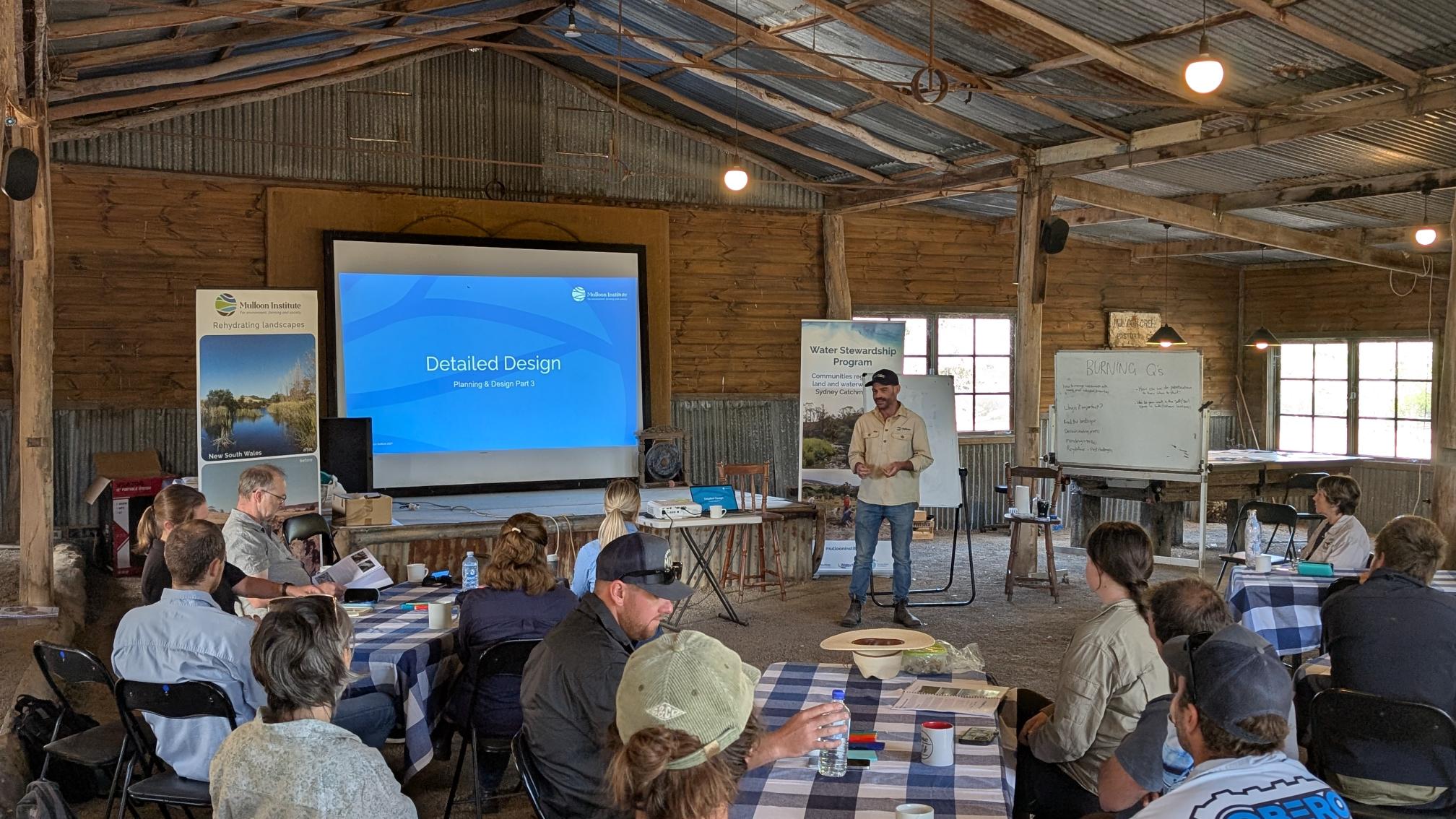
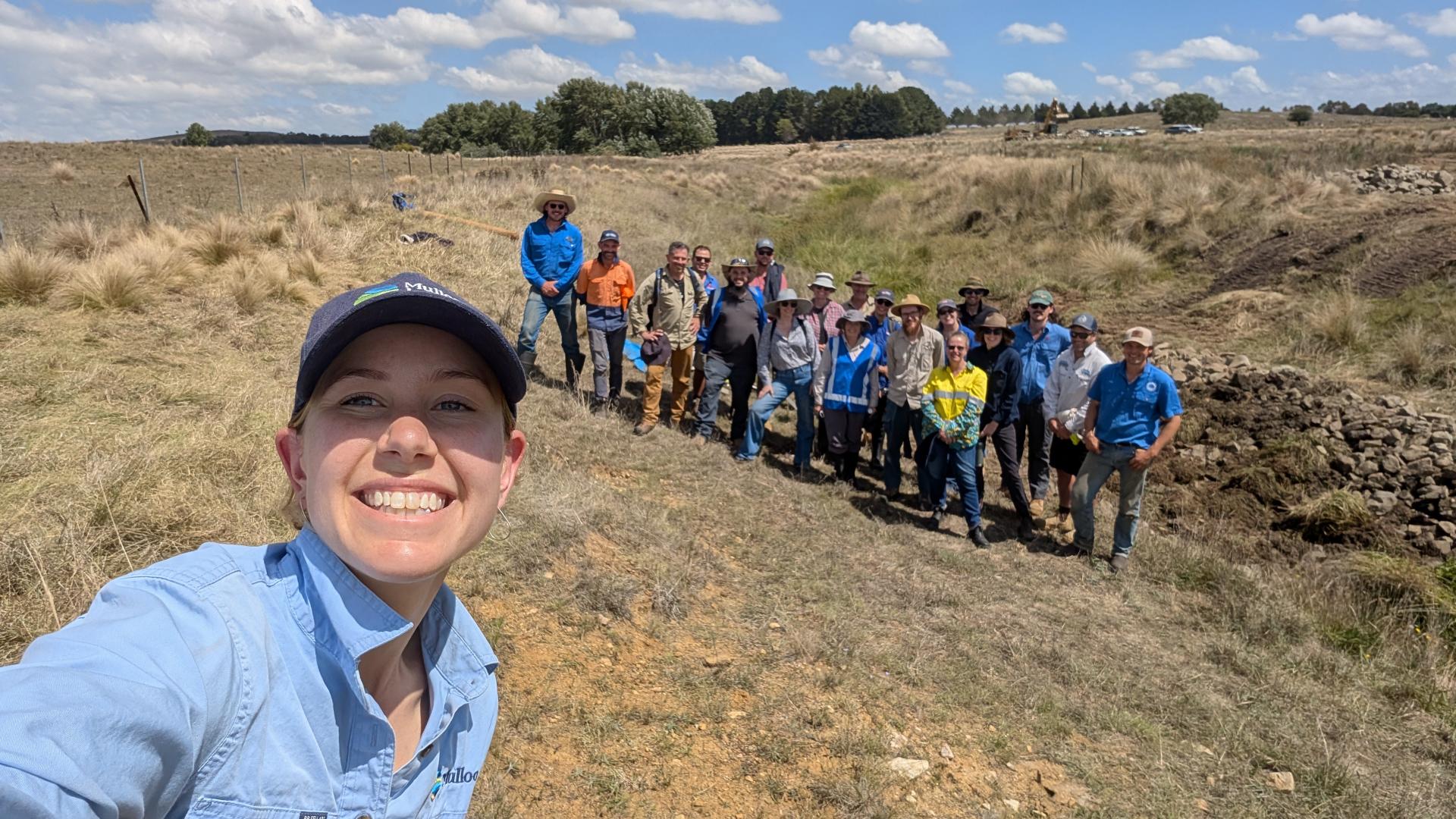
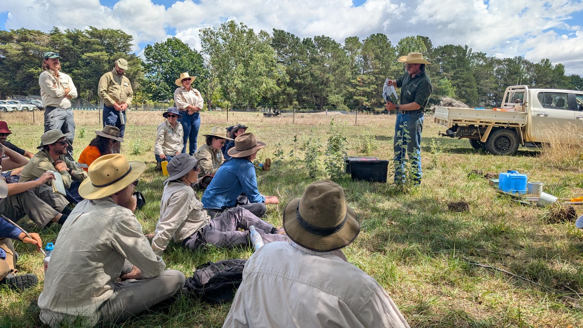
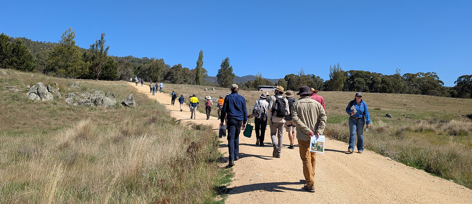
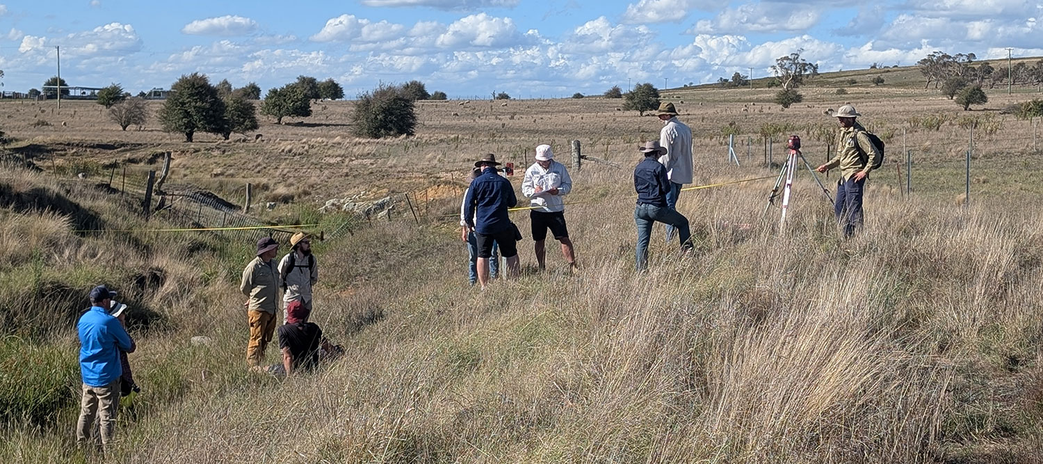
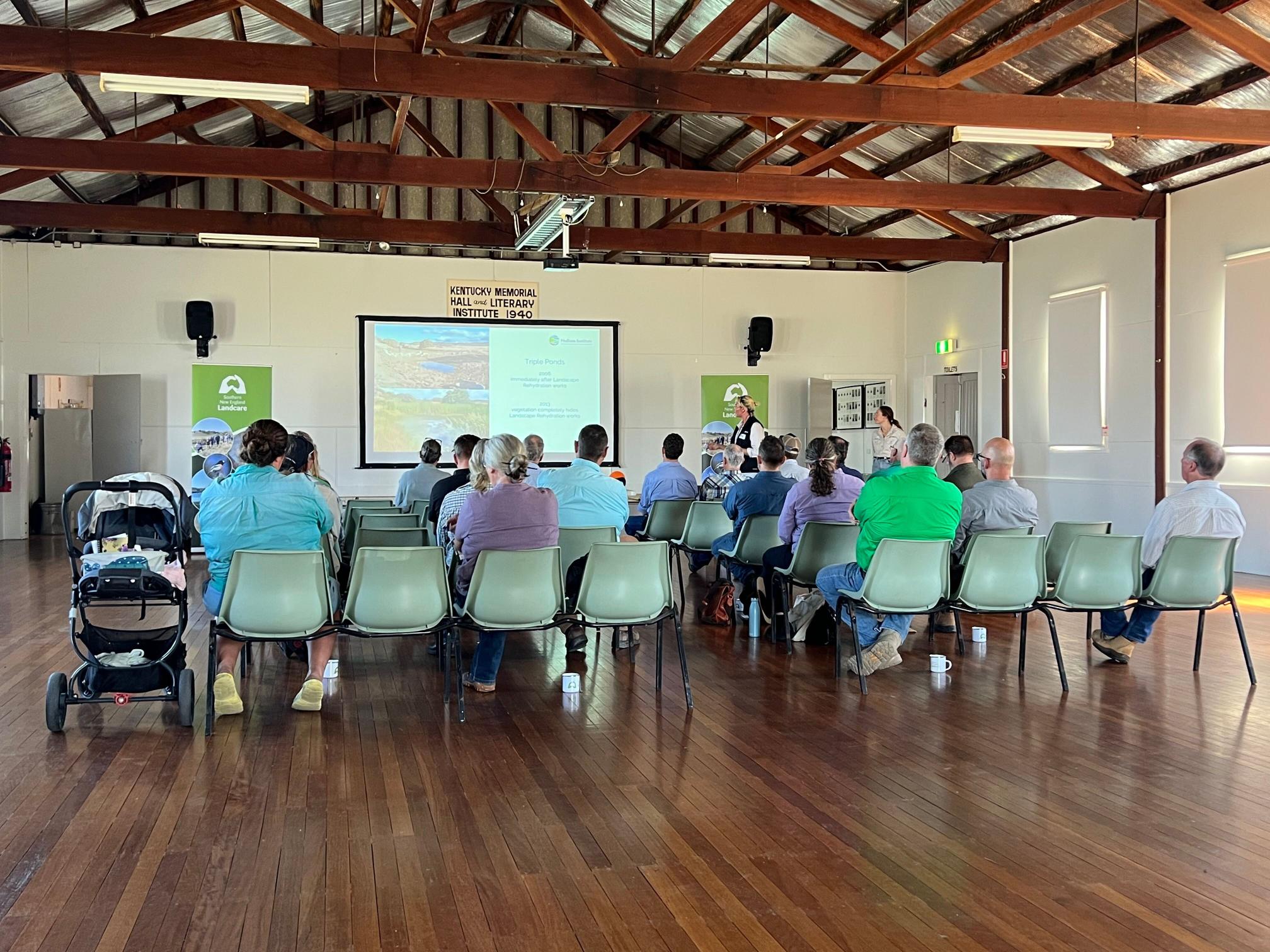
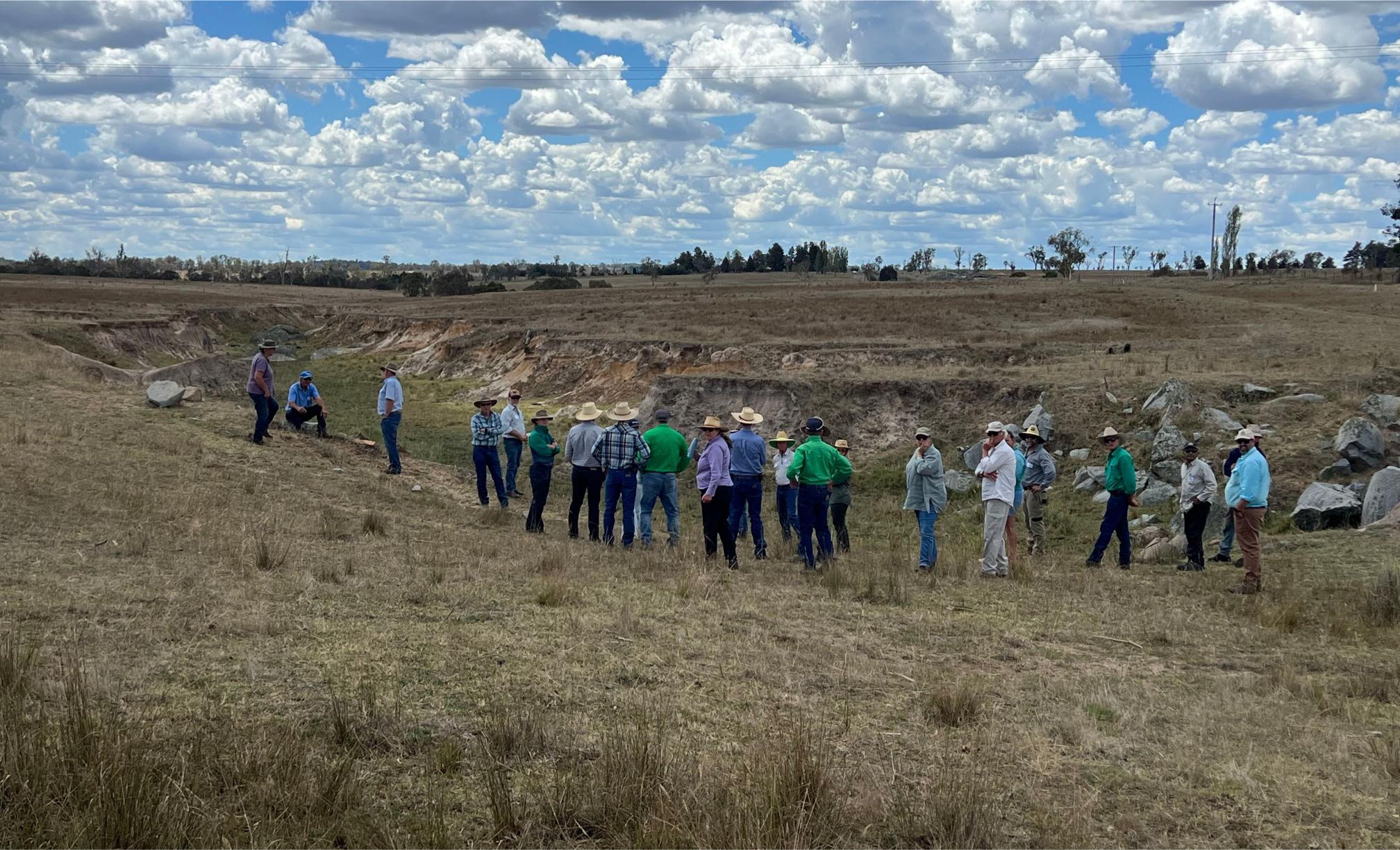
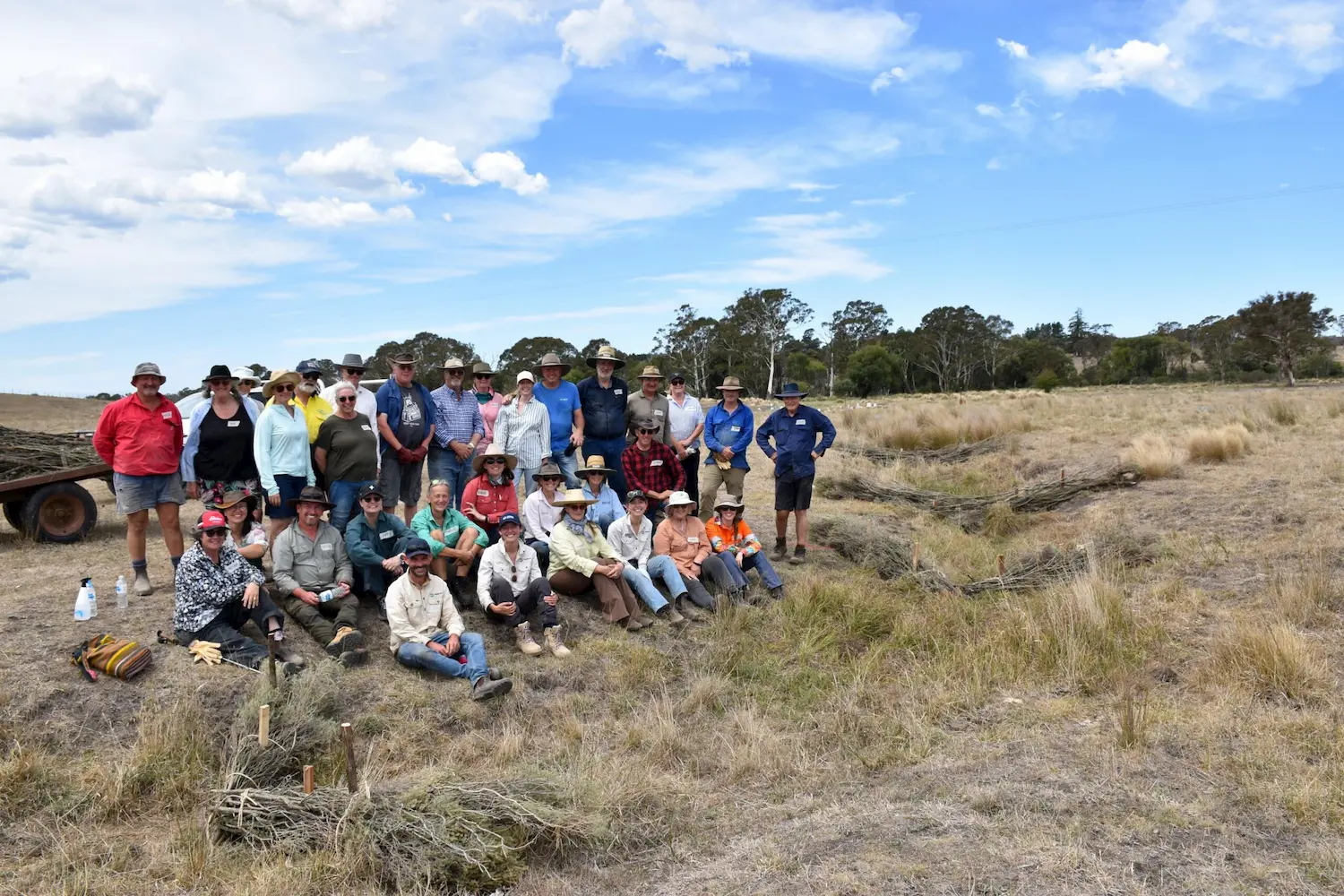
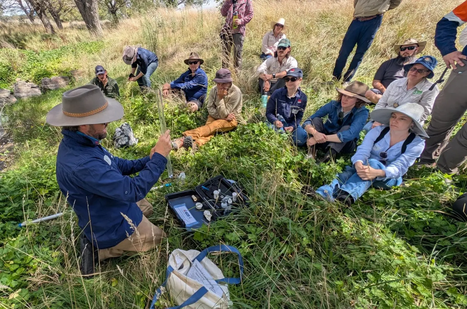
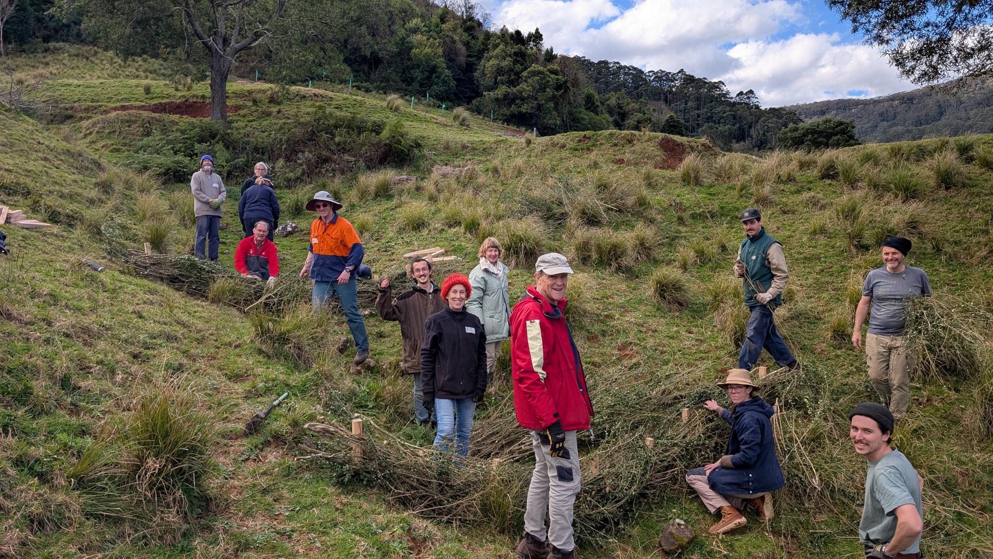
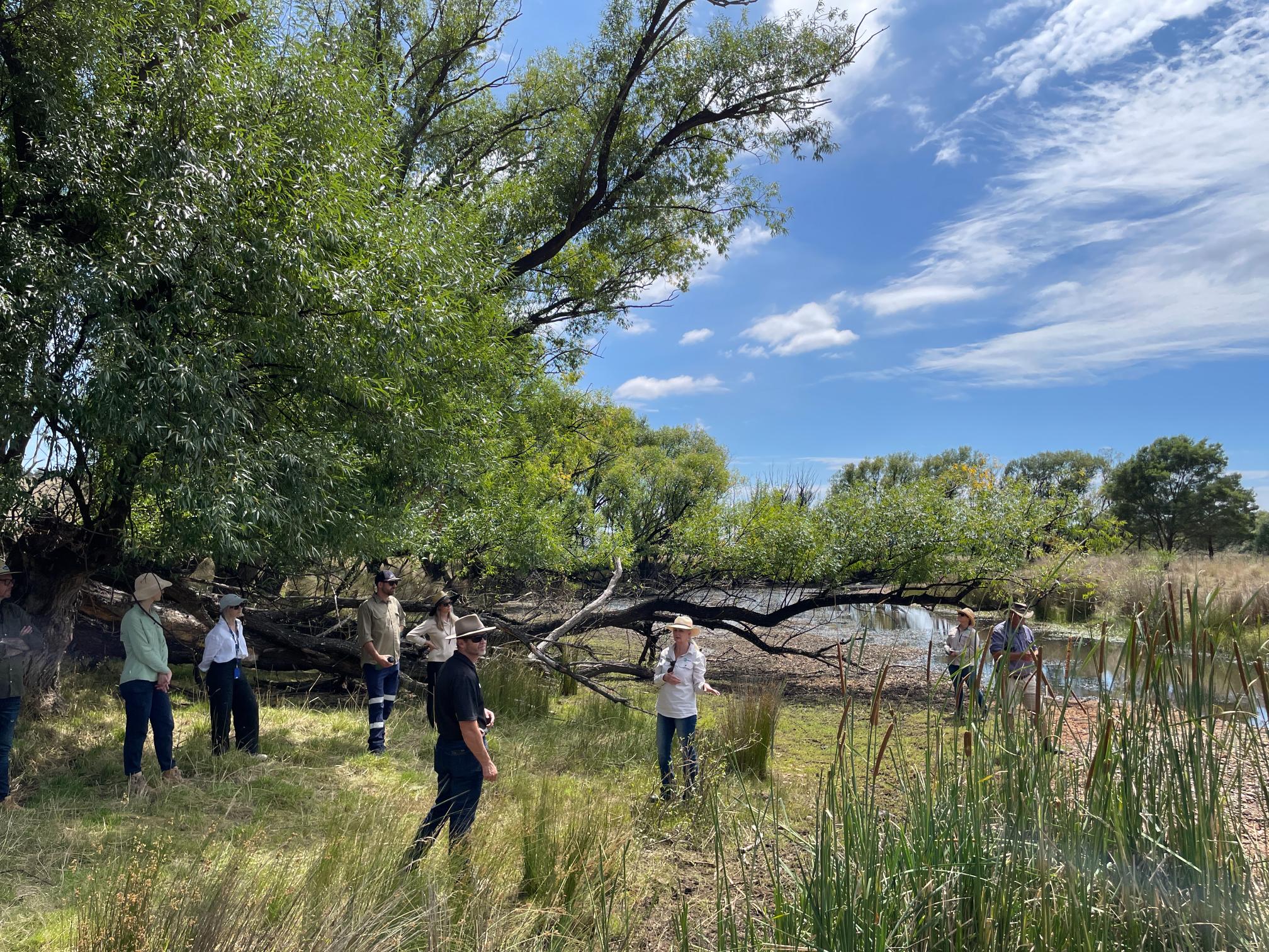
The Landscape Function Toolkit (LiFT) program has now entered the co-design phase, an essential part of project development. We have conducted several co-design sessions that bring together land managers, scientists and First Nations to discuss the journey of regenerative land management and explore how technology can assist in this process.
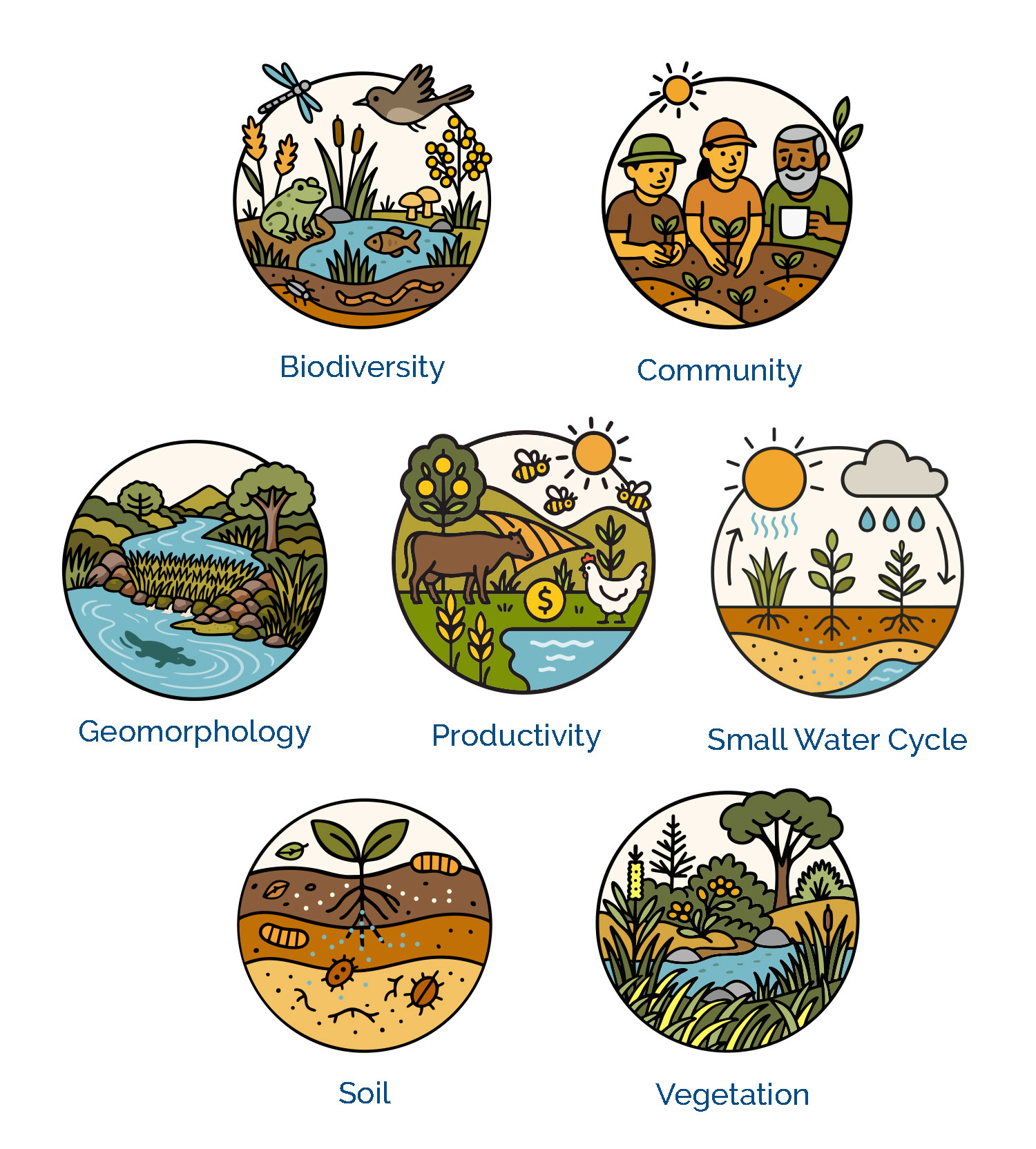
We have developed several icons related to agroecology to help inform land managers about landscape functions and rehydration, pictured right.
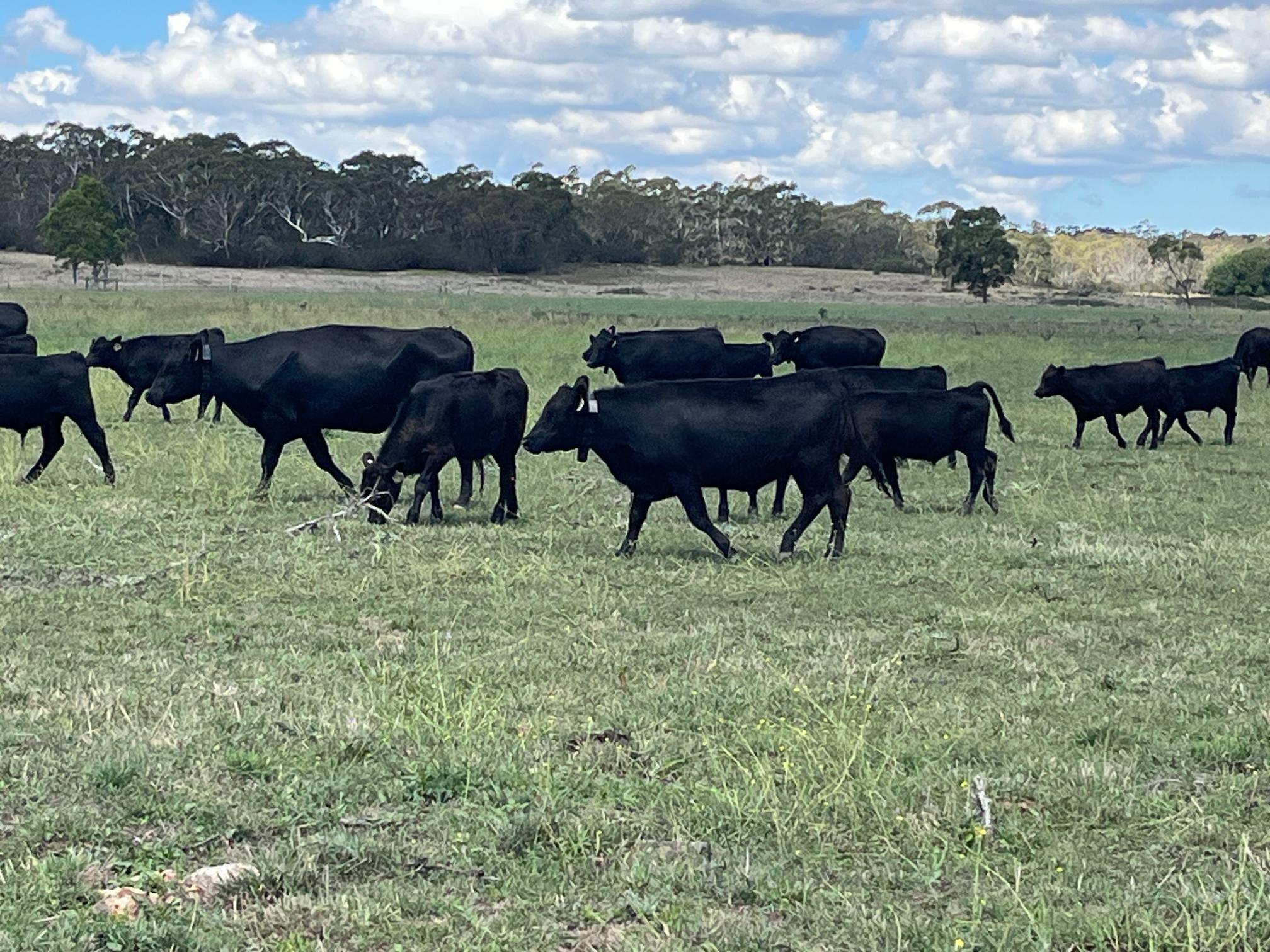
Through our co-design process, we have learned that improving landscape function and rehydrating landscapes is a journey, rather than a simple set of measurements. Land managers require multiple scalable actions that can be replicated over time to build confidence in the improvement of the land. Although land managers and First Nation people have an intimate understanding of their land, they often struggle to see how their actions connect to long-term landscape changes. They encounter delays between their actions and visible results, which can take a year or more to manifest. Additionally, data tools can be challenging to use consistently and often lack a clear process for implementation. There is considerable pressure to balance productivity with land health, along with a desire to leave the land in better condition.
We have learnt that change occurs through vision and storytelling, rather than data alone. Land managers and First Nation people want to understand how their land is evolving, how their actions influence ecosystem function, and seek early signs that they are moving in the right direction, all while reconnecting with their community and Country. Our aim is to empower them to steward their living landscapes, and we see a vital role for LiFT in validating and enhancing their innate ability to read the landscape while supporting the transition from observation to regeneration.
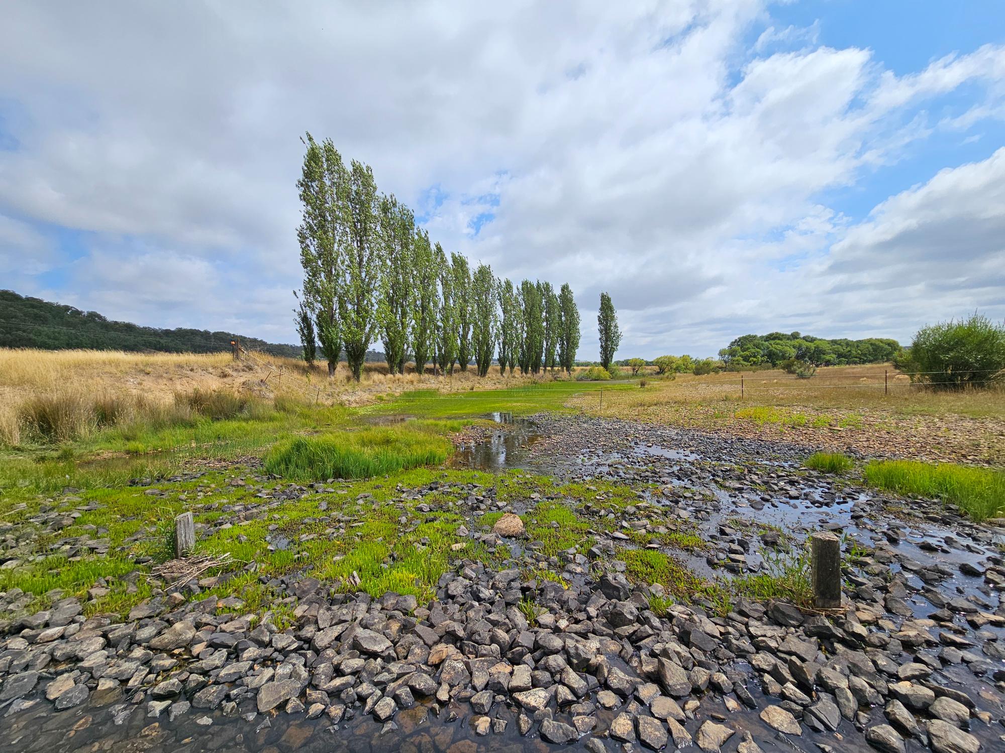
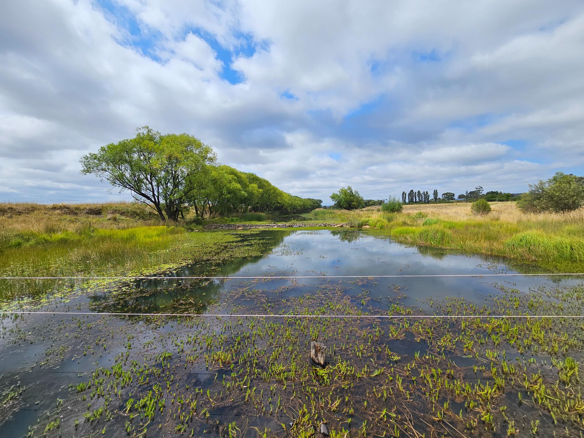
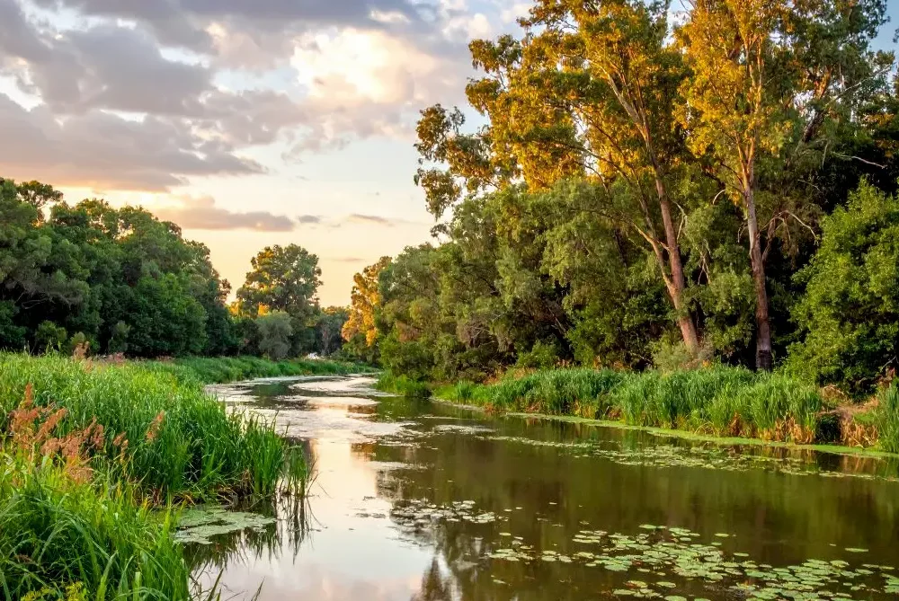
Water has frequently been highlighted as the key to improving landscape function and serves as the most accessible starting point for change. Rather than functioning solely as a data platform, we envision LiFT as a decision support and learning system for landscape stewardship. The next phase, following the completion of the co-design phase, will involve using the insights gained to develop a prototype system for trial with land managers and First Nations groups.
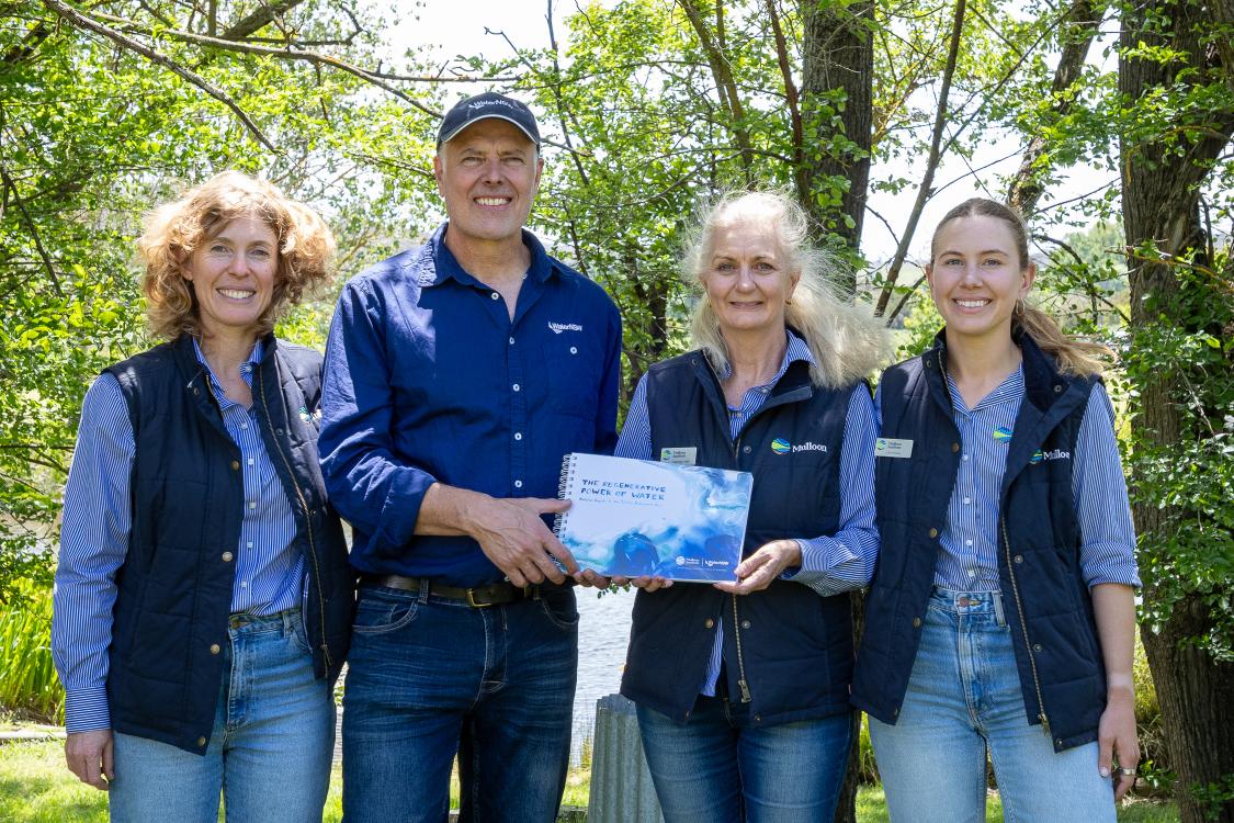
The Landscape Function Toolkit (LiFT) project is supported by the Australian Government through funding from the Climate-Smart Agriculture Program under the Natural Heritage Trust.