
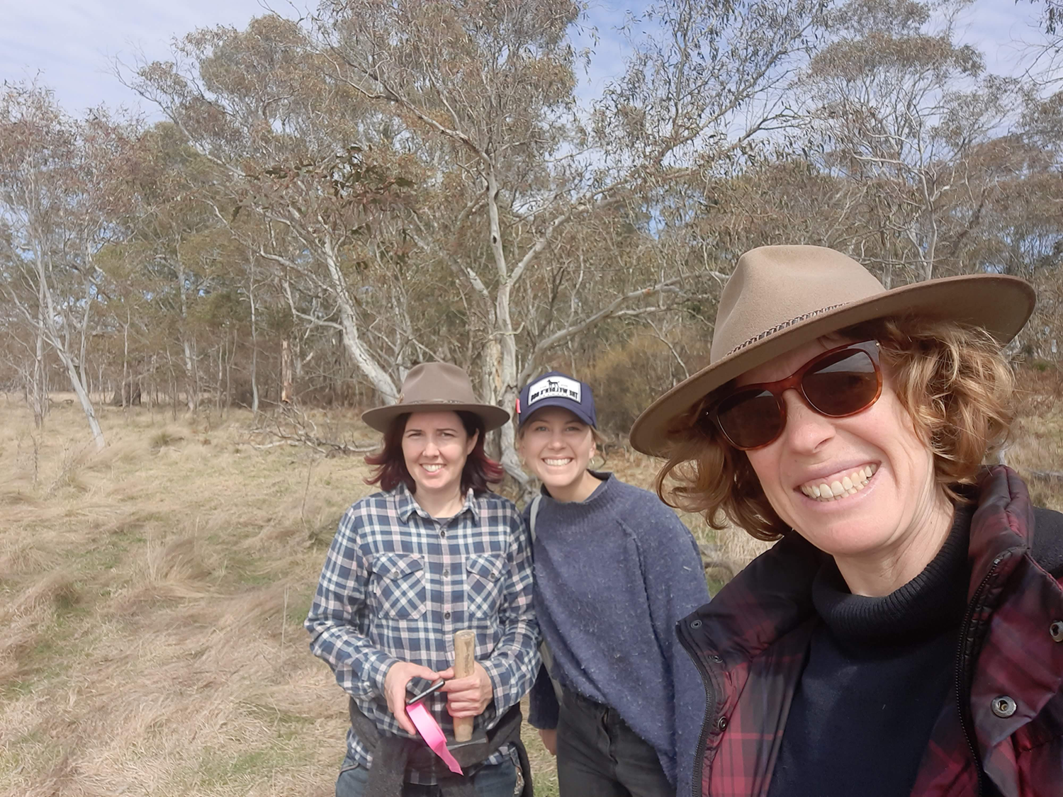
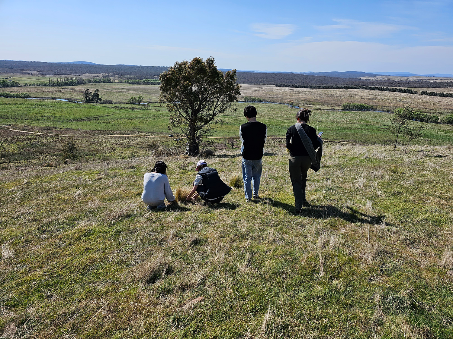
ANU Design students overlooking the Mulloon floodplain.

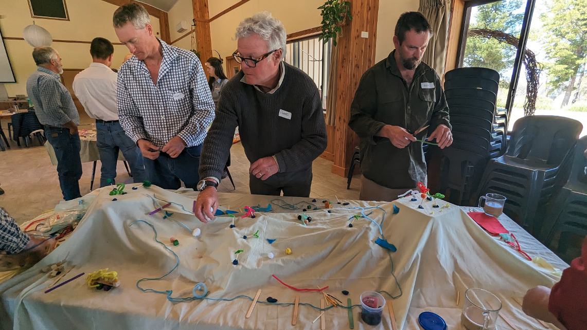
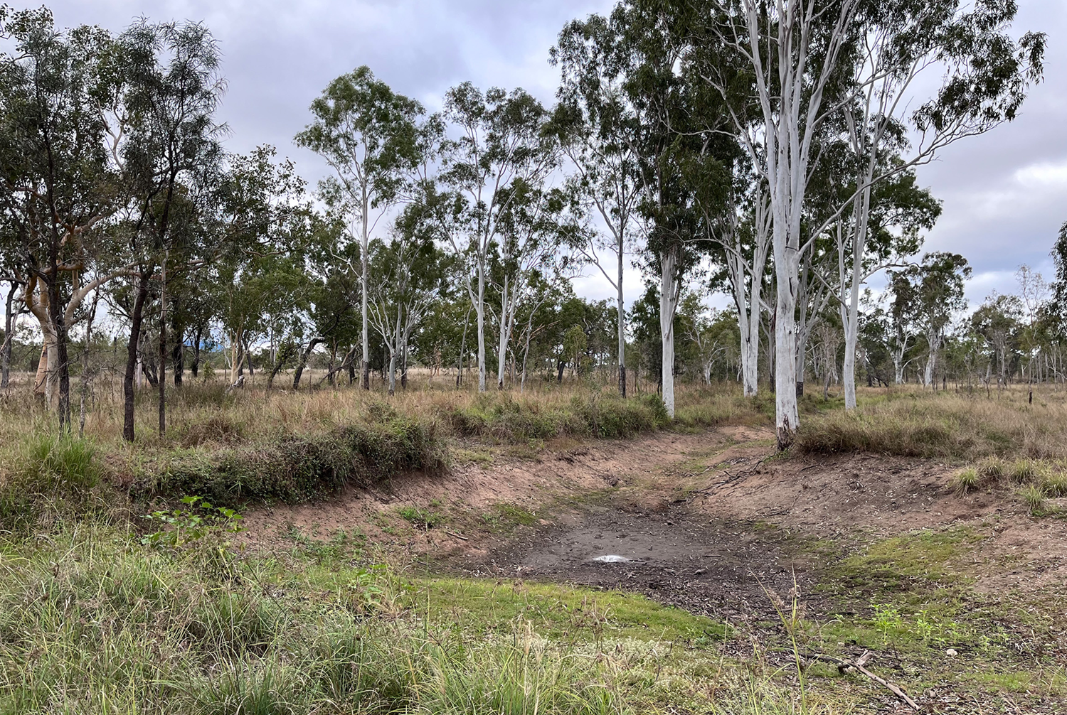
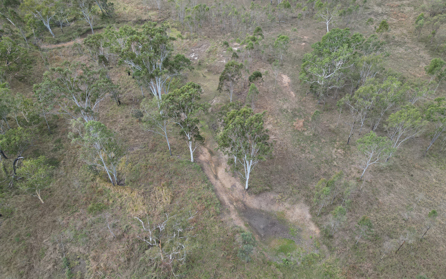
Recently Mulloon’s Science Office and Spatial + Remote Sensing Specialist Chris Inskeep hosted an enthusiastic group of students at Mulloon North, to show them the monitoring sites that traverse the floodplain. This student group is well into a project to create a model that reveals the complex layers of earth sampled in our soil cores. As the below illustration shows, they have developed a strong timber and textile concept for their model, working with Mulloon’s hydrologist Tony Bernardi. It’s a terrific example of creative science communication in action! 

Student Laura D’Arcy provided the following account of their visit: 

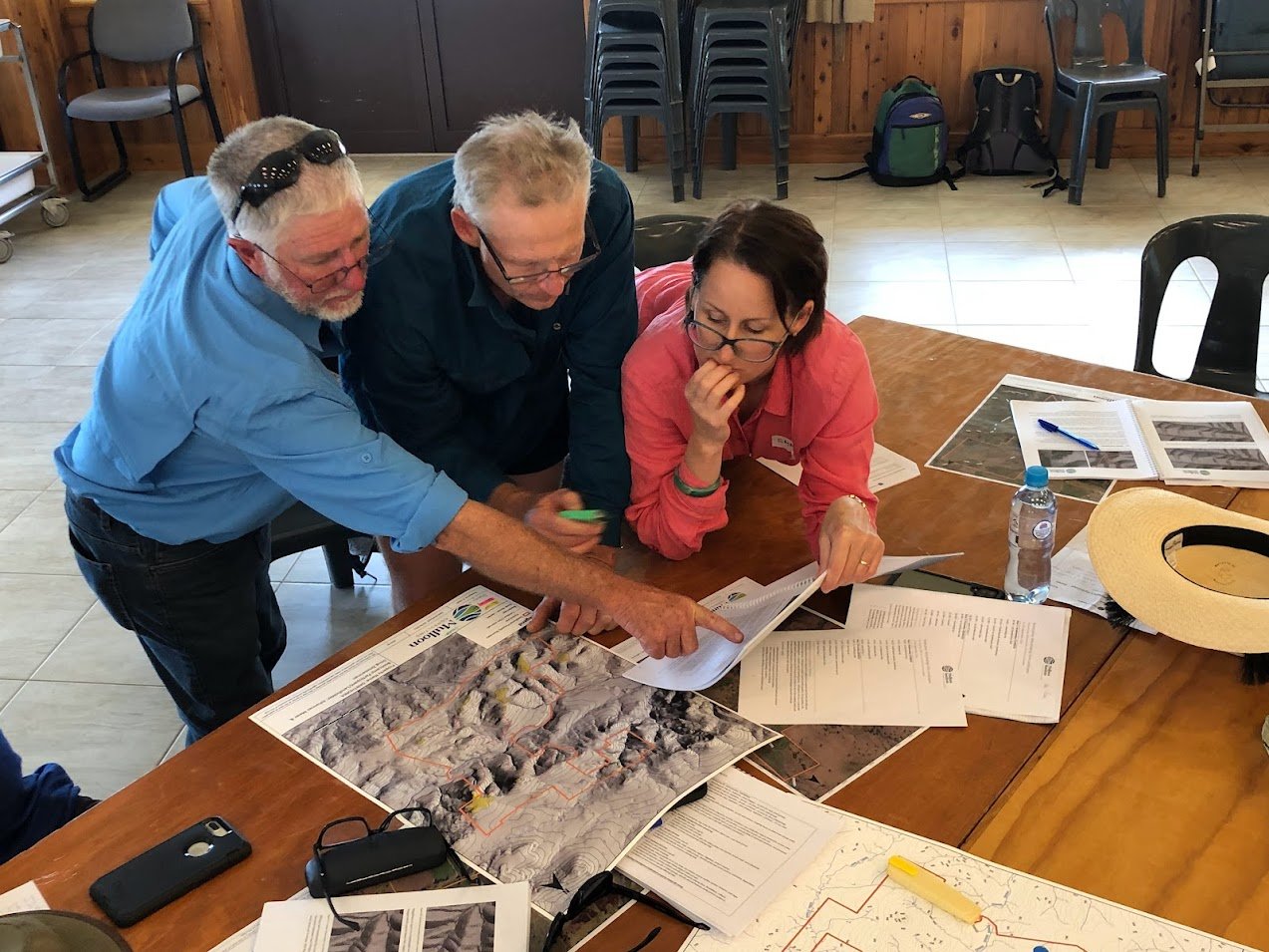
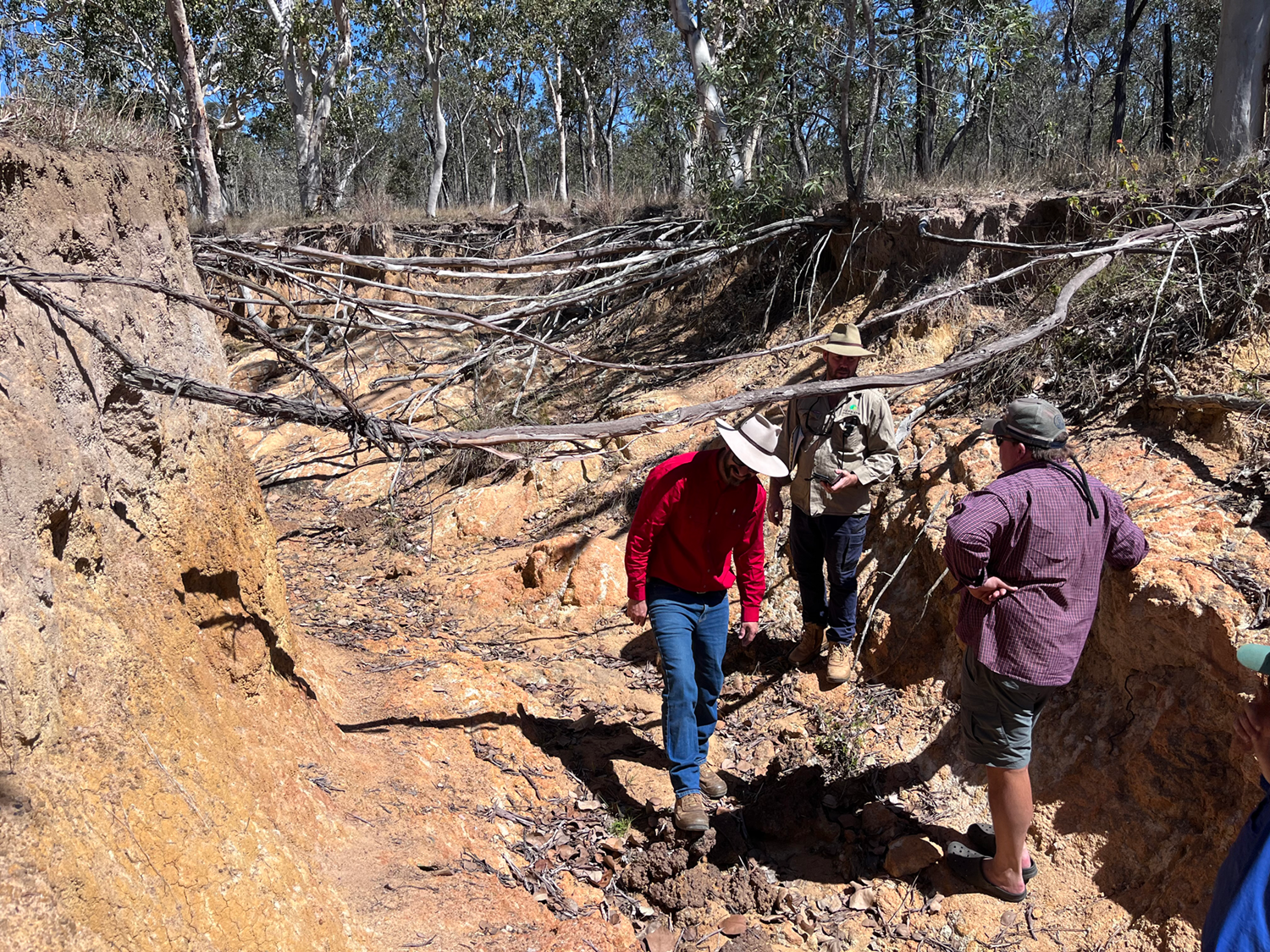
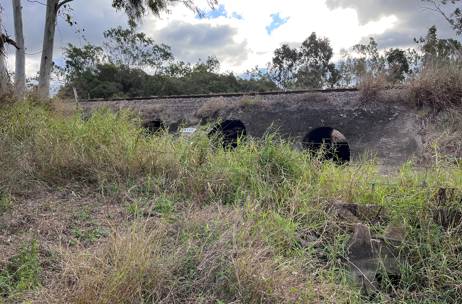
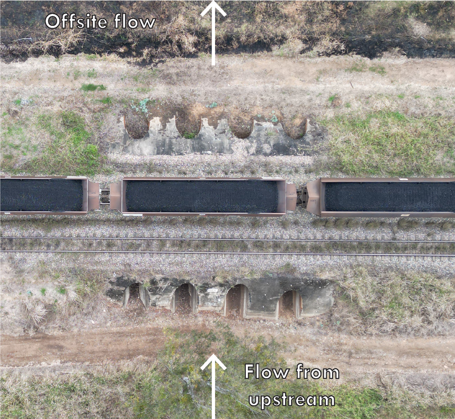
“During our morning at Mulloon North with Chris, our team gained an insight into the landscape, the landholders and the types of monitoring and data collection and analysis currently undertaken at the Mulloon Institute. We learnt about the importance of this data collection and how this data informs land management practices in the Mulloon region and around Australia. 

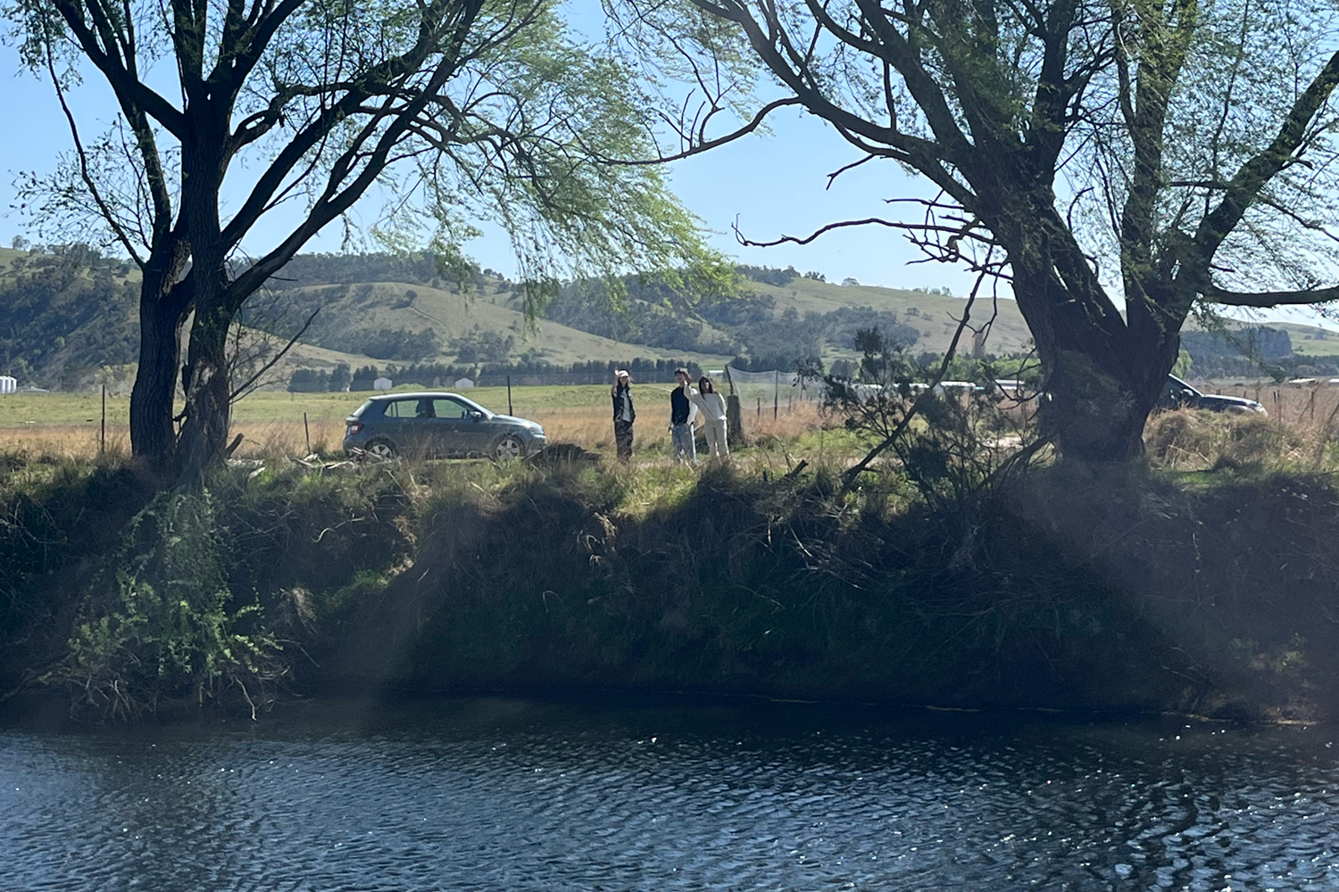
ANU Design students learning about monitoring and data collection at Mulloon.

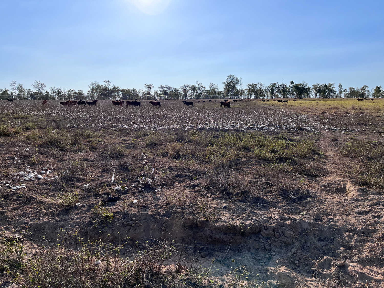
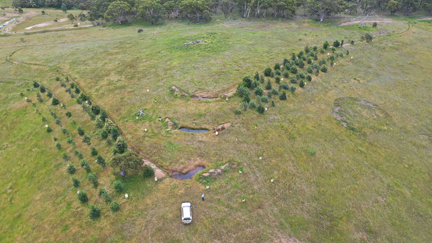
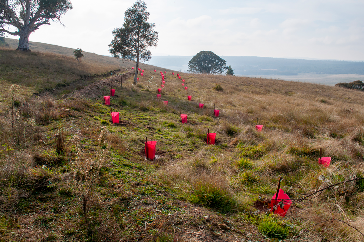
While walking on the property, we saw some planting and land rehabilitation projects. It was interesting to see that there is a diversity of native and introduced species at Mulloon. We learned that a variety of plants can be utilised for land rehabilitation whilst supporting agricultural practices. On the property, we collected plant samples of native and introduced species, such as wattles, tea trees, eucalyptus and willow trees. We are excited to experiment with natural dying and weaving with these samples.   

ANU Design students learning about the variety of plants used for riparian rehabilitation.

Chris was an excellent guide around Mulloon and a resource for our project. Chris spoke to us about GIS and provided us with possible explorations, tips and people to contact for our project. At Mulloon, we all gained a greater understanding of the complexities of the Mulloon landscape and how this might inform our project design and data visualisation.”  

We’re excited to see your model come to life! Thanks for visiting Laura D’Arcy, Ankita Unnikrishnan, Jiaming Zhao, Mia Garland, Yasmina Muldoon and Duncan Currie.  


This project is funded by the Australian Government through the citizen science project ‘Modelling Landscape Rehydration for Catchments, Communities and Curriculum’. 

Prototype of the physical model coming together by ANU Design students.

Learning to use a laser level for project design.

It’s the last week in September and Mulloon Institute’s Learning Programs team is at Danthonia, a 2,350 ha beef farm owned by the Bruderhof community near Inverell, NSW.

The surrounding district is dry but here water is flowing in the stream and there’s good perennial pasture cover thanks to practices including holistic grazing, landscape rehydration and soil restoration.

The green, hydrated pasture at Danthonia.

The community hall is buzzing with over 30 farmers and NRM managers joining in animated group discussions on the role of plants in the landscape. Feeding soil biology, improving rainwater infiltration and slowing down run-off all get a mention as farmers participate in the first activity of the Mulloon Institute’s Landscape Rehydration Bootcamp.

This is the first of five bootcamps we’re hosting around the country as part of our new Communities of Practice Project (CoPP) funded by the Australian Government’s Future Drought Fund. Hosted by GWYMAC Landcare and Northern Tablelands LLS, the farmers have come from the Swan Brook Catchment and surrounds to learn how to improve their drought resilience by restoring the movement, storage and cycling of water on their farms.

As the two-day landscape rehydration Bootcamp proceeds, theory sessions, practical activities and experiences in the field work hand-in-hand to build concepts and skills for landscape rehydration.

Landscape Planner Erin Healy and Principal Landscape Planner Peter Hazell create a friendly, participatory atmosphere perfect for shared learning. As one farmer said, “I have so many questions. It’s good to bounce ideas with like-minded people.”

Out in the field the farmers learn to observe how the landscape has been shaped by water, gravity, geology, and biodiversity over deep time. They identify landscape zones; assess the trajectory and discuss strategies for intervention.

Hands-on activities reinforced theory sessions.

There’s healthy competition during the hands-on activities. Teams build models of intact catchments, degrade them with land-use practices then repair them using strategies learnt at the Bootcamp.

Participants are also introduced to desktop mapping analysis to determine landscape features, stream order and catchment boundaries. They learn how to calculate catchment size, flood probability and the potential force of water, used to assess risk and design successful projects.

Mapping contours and catchment boundaries helps to assess risk.

There is time for personal reflection on the vision and priorities for their own farms, which will be further developed during the mentoring program available to participants through CoPP.

By the end of the Bootcamp, participants head home with a toolkit of low-risk, physical interventions that can be built with natural materials, equipment and labour available on their farms.

With an El Nino system announced and the prospect of another drought, there’s a positive feeling that instead of being at the mercy of the weather, farmers can take steps to actively capture, store and utilise water when it rains.

Our hosts summed up the mood in their closing remarks. Johannes Meier, farm manager at host property Danthonia noted, “We’ve got some tools over the last few days – let’s make sure we use them and keep this work going.”

The power of catchment-scale landscape rehydration at neighbouring farms was captured by ecological farmer Glenn Morris, “It’s good we’ve all come together across the catchment – we’ll have clouds hovering above Swan Brook.” Mick Mather, Chair of GWYMAC Landcare concluded, “Let’s show the greater community that we’re making changes and doing things differently.”

Communities of Practice Project is backed by the Australian Government’s Future Drought Fund. Mulloon Institute’s Learning Programs have been developed with the assistance of the NSW Government’s Environmental Trust.


To find out more about the Mulloon Institute’s landscape rehydration Communities of Practice Project, scroll to the bottom of the page to sign up for our quarterly newsletters, or call Jono Forrest on 0429 689 615.

The field day, bootcamp and mentoring program will be delivered in Inverell NSW, Emerald QLD, Darwin NT, Perth WA and the Bass Coast of Victoria. Our goal is to bring more districts into the program if suitable partnerships can be established.

The intense and brilliant colours of Australia’s ‘red centre’. Image © Mike Clarke

There is something special about the dry centre of Australia. The red soil, tufts of green spinifex, spectacular ranges rising out of the otherwise flat landscape, and the friendly and welcoming folks that live and work there.  

Our team were very excited to head back out to the stunning rangelands of the West Macdonald Ranges, 200km northwest of Alice Springs in the Northern Territory, for the Landscape Rehydration Field Day and Contour Grading School. Our CEO Carolyn Hall also made the trip to celebrate the completion of our contribution to the Centralian Project

Mulloon’s Lance Mudgway, Carolyn Hall and Shane Hunter with Mike Clark (second from right – Centralian Project Manager from Top End Conservation) next to an earth bank at Glen Helen Station 

Hewitt, Australia’s largest organic beef company, kindly hosted around forty participants for the two-day event at Narwietooma and Glen Helen stations, feeding us all and providing some great entertainment in the evening with singing, goanna pulls and a boat race (minus a boat and water!). We received so many fantastic questions and had a lot of exciting conversations while demonstrating Mulloon’s principles and methods for landscape rehydration in arid climate regions. The on-ground works we had completed previously were an ideal illustration of the importance of this work both for improving productivity for livestock operations as well as building ecological function and resilience to drought. 

A hose demonstration illustrates how water flows in different landscape contexts 

Lance demonstrating the key principles of landscape rehydration 

The second day was devoted to developing practical skills for station grader operators. We brought along Steve, a highly experienced grader operator who had done some fantastic work constructing contour banks for us previously. The attendees of the Grader School each had a turn at constructing a contour bank, with Steve providing expert guidance and insights into how to achieve best results. The participants all walked away with newfound confidence and some extra skills useful for constructing landscape rehydration interventions with a grader. 

Grader School provided an excellent opportunity for station workers with grader experience to upskill and learn techniques for constructing contour banks and other landscape rehydration earthworks 

With all this excitement and passion for restoring the water cycle in the central Australian landscape, we can’t wait to see what happens next in this space. 

The Centralian Project is funded by the Australian Government’s Future Drought Fund – Drought Resilient Soils and Landscapes Program through Charles Darwin University and the Northern Hub.  

Enjoy our latest eNews here: https://conta.cc/45XjGuh

Mulloon’s education team (l-r) –Tam, Erin and Laura, planning out the Sandhills Creek catchment works at Birkenburn (the Stream Team!)

Landtasia and Duralla approval process

The Mulloon Rehydration Initiative (MRI) is moving into its final phases as it relates to the National Landcare Program (NLP) funded component. While the Initiative is a long-term project, the NLP funding component was designed to support the implementation of onground works, the set up of a comprehensive monitoring program, and the development of a capacity building program aimed at raising the awareness and the skills of all comers in the concept of landscape rehydration.

The Mulloon Rehydration Initiative is a catchment-scale project that aims to rebuild the natural landscape function of the Mulloon catchment and boost its resilience to climatic extremes for more reliable stream flows, improved ecosystem functioning and enhanced agricultural productivity. It includes the development and implementation of a comprehensive Integrated Monitoring Plan.

Over the past few months work has been undertaken to gain onground works approval on a further two properties – Landtasia and Duralla. The process of planning and government approval is time consuming and expensive. Full ecological assessment of each site of proposed intervention is required, as well as complete, to scale, designs. Hydraulic modelling is required to determine current forces acting on the creek system and how those forces will change once work in the creek is undertaken.

With all the planning work done for Landtasia and Duralla, several NSW Government agencies will now each, and individually, assess the veracity of the proposed scheme from their own disciplinary perspective. If and when approved, the next stage will be construction, which, relatively speaking takes a fraction of the time that the approval process takes.

Sandhills Creek catchment planning

In the meantime, the Mulloon team is getting on with the next stage of the Initiative, which is the planning and assessment of Sandhills Creek catchment, a major tributary of Mulloon Creek. This is exciting because the Sandhills planning phase is being coupled with the piloting of the advanced landscape rehydration curriculum being developed by Mulloon’s education team.

In November, professionals from all over Australia will gather at Mulloon to undertake a four-day Intensive learning program in catchment planning where Sandhills Creek, and specifically the Birkenburn property of Tom Gordon and Martina Shelley, will be the case study for the catchment planning exercise. The results of the work from the Intensive will feed directly into the Government approval process for proposed landscape rehydration works in and around Sandhills Creek.

Figure 1: Lower Mulloon stream gauge (part of the MRI monitoring array), showing seven and a half years of stream depth measurements.

Monitoring demonstrates that Mulloon Creek is holding its water

Meanwhile, the climatic conditions have flipped once again from very wet to very dry. Landscape rehydration works aim to moderate the extremes of wet and dry. Some interesting trends in this regard are beginning to emerge from the hydrographic data being collected at Mulloon.

The graph above (Figure 1) shows the stream level for the last seven years as Mulloon Creek flows into Duralla from Palerang. Upstream of this point around 50 streambed control structures (leaky weirs) were installed between 2006 as part of the original pilot project on the MCNF Home Farm and during 2020 as part of the MRI on-ground works.

Note that in August 2020, the water level rose about 800mm. This was because a leaky weir was installed immediately below the pond in which this stream gauge is located.

Between August 2020 and November 2022, Mulloon Creek, along with the rest of the east coast of Australia, experienced much flooding, which can be seen in the high concentration of flow peaks during that period.

Since the beginning of 2023, rainfall has been less than half of the long-term average, and yet the water level, and consequently the flow, coinciding with this stream gauge has remained stable. Its early days for this dry cycle, but indications are positive that not only is more water being held in the system, but more water is also continuing to flow down stream than was the case during the previous dry cycle between 2018 and 2020.

The Mulloon Rehydration Initiative is jointly funded through the Mulloon Institute and the Australian Government’s National Landcare Program and is supported by the NSW Government’s Environmental Trust.

In mid-August, Duncan from Terrain NRM and Mulloon Consulting’s Neil Cupples and Leon Van Wyk were out in the headwaters of the Upper Herbert River, far north QLD. They visited another large cattle station on the drier, western side of the Great Dividing Range – not too far from the majestic Blencoe Falls – delivering on-the-ground Landscape Rehydration capacity building.

Neil and Duncan inspecting an actively deepening gully with the landholder.

Being out in the field with the landholder affords a great deal more detail in the conversations about specific issues and how to resolve them through an understanding of the landscape. This article highlights some important details discussed during the workshop and provides inspiration for better understanding your own landscapes in terms of ecosystem function.

Cattle and irrigated cotton crop.

First, we unpack landscape rehydration, which aims to “restore the movement, storage and cycling of water through our landscape” (Mulloon Institute, 2023). Whether grazing rangelands or annual pastures, dryland cropping or irrigated horticulture, landscape rehydration can deliver benefits to biodiversity and perform extra ecosystem services via improving plant photosynthesis. This station in the monsoonal tropics has a mixed enterprise with irrigated and dryland cropping (cotton, as at the time of our workshop) supplementing the extensive cattle business.

Next, we consider prioritising your goals. Because some systems degrade very rapidly it can make good financial sense to focus on the areas that are vulnerable but not yet completely compromised. Whereas attempting to ‘solve’ big issues can be very expensive and is inherently risky. Development regulations complicate the process further because you need to understand both the physical and legal context of your landscape rehydration project.

Once you know what your goals are, ‘reading’ the landscape is a good way to see how on-site and off-site factors can impact the overall scale of issues and opportunities. Sometimes, though remote sensing and mapping is the best first step to help you prioritise where to begin (and challenge how you see the situation… ie. “the problem is the solution” legacy of Bill Mollison, the late great permaculture co-originator).

Gully head and cotton cropping.

Landscape rehydration is a long-term process. Whether it’s a large station or a small back block, landscape rehydration is best applied as a ‘whole system’ approach. Therefore, you want a clear idea of exactly where your project boundaries are and keep your energies focussed rather than spread too thin. Often, starting with your roads/tracks/paths is the best way to make positive and noticeable change that can teach you a huge amount through paying attention in small yet regular doses of observation. This is even more important when roadways are concentrating rainfall and runoff, creating major erosion hotspots and potentially threatening your infrastructure and/or investments.

Here in Queensland, we have some regulations that protect waterways of certain sizes (stream order) from development that could impact fish passage. This is a good example of regulatory considerations that could impact your plans for landscape rehydration. If you live in QLD, it is easy to check the QLD Globe web portal to see the fish passage risk (and different regulation) levels that may apply to waterways on your property. If you need help with identifying these resources or would like to learn more, don’t hesitate to get in touch with the Mulloon Institute via email or follow us on the socials.

Active gully advancing uphill through clay subsoils.

This workshop was part of Terrain NRM’s Upper Herbert Sediment Reduction Project. It is funded by the partnership between the Australian Government’s Reef Trust and the Great Barrier Reef Foundation.

A visual update from Neil and Leon’s project monitoring trip to Mt Pleasant Station in July 2023, where Landscape Rehydration interventions were designed and constructed by Mulloon Consulting between 2019-2020. The aim of the project was to utilise Mt Pleasant Station as a demonstration and community learning hub. It demonstrates erosion control measures which slow, spread and infiltrate surface flow. In so doing, the site will retain more moisture, as well as capture and cycle nutrients more efficiently. Coupled with the existing management strategy of time-controlled grazing, the interventions will ultimately rebuild landscape function and resilience.

The recent trip was to assess the structural, vegetative, and hydrological health of landscape rehydration measures, leading to the second of three monitoring commissions being completed. This article is a visual tour looking at the current conditions following a few wet seasons since the first phase of this project was completed.

Mt Pleasant phase 1 project context map


Panorama across the drainage line at the uppermost in-stream structure (MP5)


Direct downstream view from above the MP5 log sill leaky weir


Downstream view from below the MP5 in-stream structure, showing a fully vegetated and stabilised gully floor


Upstream view from in-stream structure MP2 showing deposition of sediment, silt and organic matter in the ephemeral pond base


Alternative upstream view from above in-stream structure MP2, better revealing the landscape context


Lowest extent of project area where a set of railway culverts conveys runoff from the site


Aerial view of the railway culvert crossing where the project area terminates below MP1

This project has been delivered in partnership with NQ Dry Tropics, as part of the Landholders Driving Change (Burdekin Major Integrated Project), funded by the Queensland Government through the Queensland Reef Water Quality Program.

Top contour plantings at Duralla, as part of the Mulloon Rehydration Initiative*.

We have been doing a lot of thinking about the Carbon Market and how best to fulfil our mission within this space.

When Mulloon repairs landscapes and catchments we create hydrated, healthy soils. These soils are not only good for biodiversity and agricultural productivity, they are also excellent carbon sinks.

When landholders set up a Carbon Project the Clean Energy Regulator requires a landholder to do something “new” to their land to qualify as a Carbon Project. Our landscape rehydration techniques meet this “newness” requirement and will sit within the requirements of the “soil carbon method” and the “integrated farm management method.”

Sequestering carbon is not the primary aim of our process and techniques, but since it is a natural by-product of our methods, we understand that landholders can profit from this process by receiving Australian Carbon Credit Units (ACCUs) as credit for carbon sequestered in their soil.

We have always encouraged landholders to not only run regenerative operations but also to run profitable operations as profitable landholders have more resources to manage their land responsibly. If a by-product of positive land stewardship is the ability to earn (and potentially sell) ACCUs, all the better.

Matt Egerton-Warburton

Revegetation on the slopes overlooking Mulloon Creek.


*The Mulloon Rehydration Initiative is a catchment-scale project that aims to rebuild the natural landscape function of the Mulloon catchment and boost its resilience to climatic extremes for more reliable stream flows, improved ecosystem functioning and enhanced agricultural productivity.

The Mulloon Rehydration Initiative is jointly funded through the Mulloon Institute and the Australian Government’s National Landcare Program and is supported by the NSW Government’s Environmental Trust.

Kathy Kelly, MP Matt Burnell and Carolyn Hall braving the cold winds at the Farms in early September!

The work of the Mulloon Institute continues apace.

We recently hosted International Nuffield Scholars, ACT NRM and Upper Lachlan Landcare, The Scots College and Canberra Grammar School to the Home Farm and we have conducted field days and contour grading schools in Bombala, in Barham in the Western Murray and the Northern Territory.

Carolyn has sat on stage with Rachel Ward (for a special screening of Rachel’s film, Rachel’s Farm) in Canberra as well as attending the Northern Australia Food Futures Conference hosted by the Northern Territory Farmers Association (NT Farmers).

I was interviewed by local ABC radio at the 2023 Regenerative Rangelands conference on the Mulloon Institute’s work and our problems with environmental regulations. The interview can be heard on the ‘North West and Western Queensland Rural Report’ from 4 minutes onwards.

Jono Forrest spoke with the Secrets of the Soil podcast with Regen Ray on working with landholders to understand their values and goals, and the motivations behind landscape rehydration.

Carolyn, Kathy and Jono hosted Mr Matt Burnell MP for Spence in SA, and member of the House of Representatives Standing Committee on Agriculture, Inquiry into food security in Australia at Mulloon in early September.  This followed Carolyn providing a submission and giving evidence to the broader committee on the need for healthy functioning biodiverse landscapes for food security in the face of climate change.  We look forward to the report from the Inquiry and Mr Burnell spreading the word about our work with his political colleagues. 

This is just a snippet of what we have been up to.

Matt Egerton-Warburton
Mulloon Institute – Deputy Chair

Carolyn Hall, Mulloon Institute CEO presenting our work at the Northern Australia Food Futures Conference

The Hon. Gary Nairn AO, pictured with then Member of the Legislative Assembly of NSW, Nichole Overall and Mulloon Institute CEO, Carolyn Hall in February 2023.

Supporting Gary

The Mulloon Institute is many things, but at its core it is a family and a community of people working together to rehydrate and repair Australia.

The Hon. Gary Nairn AO has taken over the legacy of Tony Coote AM and as chair has taken a concept (rehydrating Australia) and an asset (the generous gifts of Tony Coote) and developed the Mulloon Institute into one of Australia’s leading agricultural and environmental charities. He has appointed the right people, made the right calls and successfully guided the organisation through its fair share of minefields. Through his efforts we are providing effective and ground breaking leadership and advocacy in Australia.

Unfortunately, Gary has recently been diagnosed with kidney and lung cancer and is currently undergoing intensive treatment for both cancers. Here is part of Gary’s message recently sent to staff.

“I have had to take a step back from my responsibilities as Chairman of the Mulloon Institute due to a serious health issue. While my passion for our work will never fade, I must use all my available energy to fight this terrible disease so that I can return to the other fight of expanding our much needed work across our degraded nation.

My health challenge is to win the battle against two different types of cancer, lung and kidney, in multiple locations. My first two treatments were a combination of immunotherapy and chemotherapy. From now on, at least for the time being, every three weeks will be just immunotherapy. In layman’s terms, it would appear immunotherapy can better target the nasties (although some goodies get caught in the cross fire) and greatly assist your immune system do its job. My oncologist assures me it is the ‘best treatment available on the planet’!

So it will no doubt be a long haul and therefore I will have to remain in the background for the time being.

All the very best to everyone and thank you for the great achievements and successes you are making each day to help restore the natural functioning of our landscapes nationwide. I might be concentrating on my other challenge but I will be keeping close contact to the many projects you are undertaking. Tony Coote AM left us a great legacy, each and every day since his passing we have collectively grown that legacy to a point that I have no doubt he would be very delighted. Let’s keep that up.”

While Gary has taken a step back from his duties as chair during his treatment he has left the Institute in good hands. Carolyn continues to lead and inspire the organisation as CEO, Jono is diligently reshaping and growing Mulloon Consulting, Peter Hazell continues to lead key projects and Jim Steele and Matt Narracott are running and transforming farm operations. Kathy Kelly, Carolyn Hall and I (as fellow directors) continue to guide and oversee an efficient, functioning organisation. 

For those of you who know Gary – please send him a note – we all wish him well during this tough battle. Our thoughts are also with Gary’s wonderful wife Rose who continues to be a pillar of strength to her family.

Matt Egerton-Warburton
Mulloon Institute – Deputy Chair