
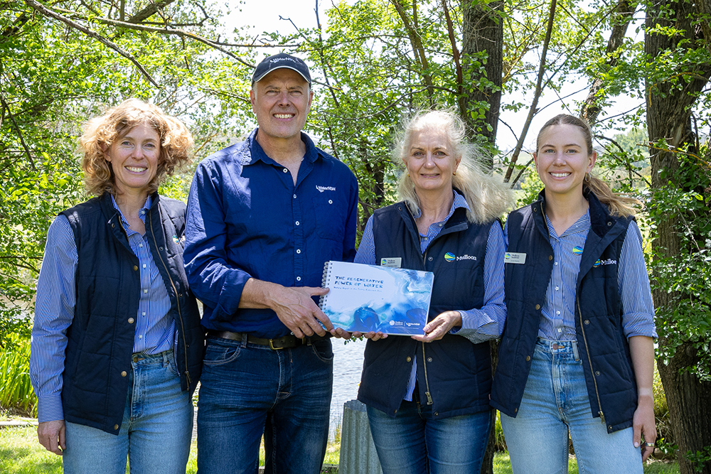
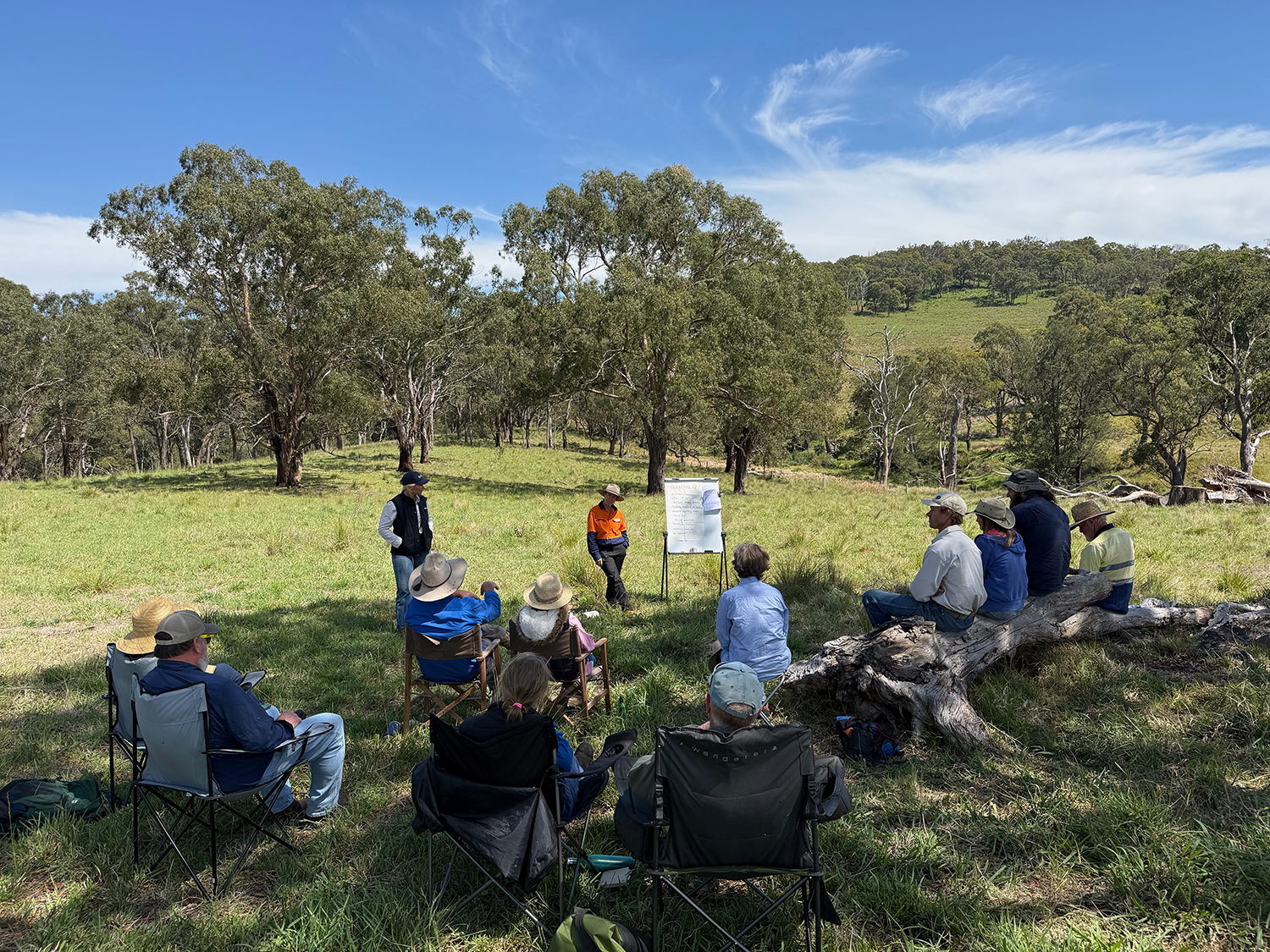
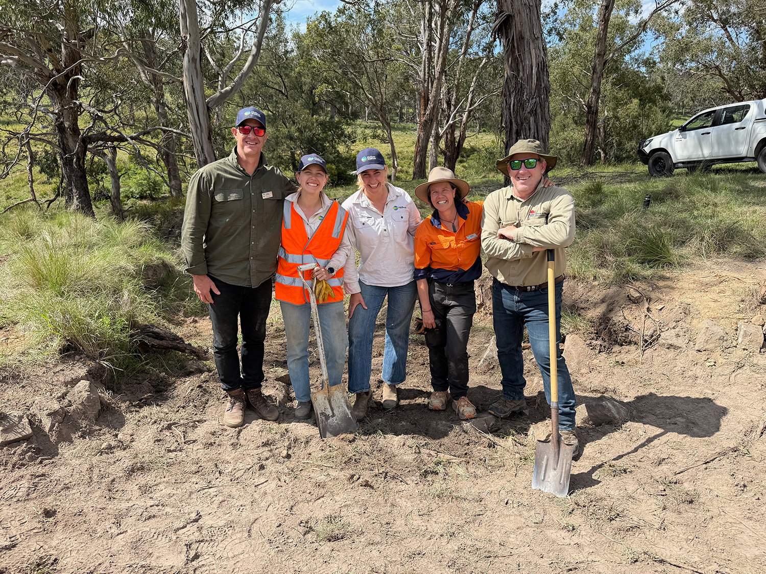
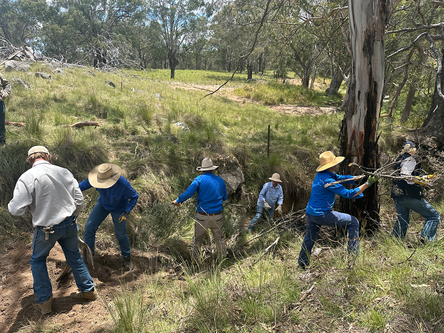
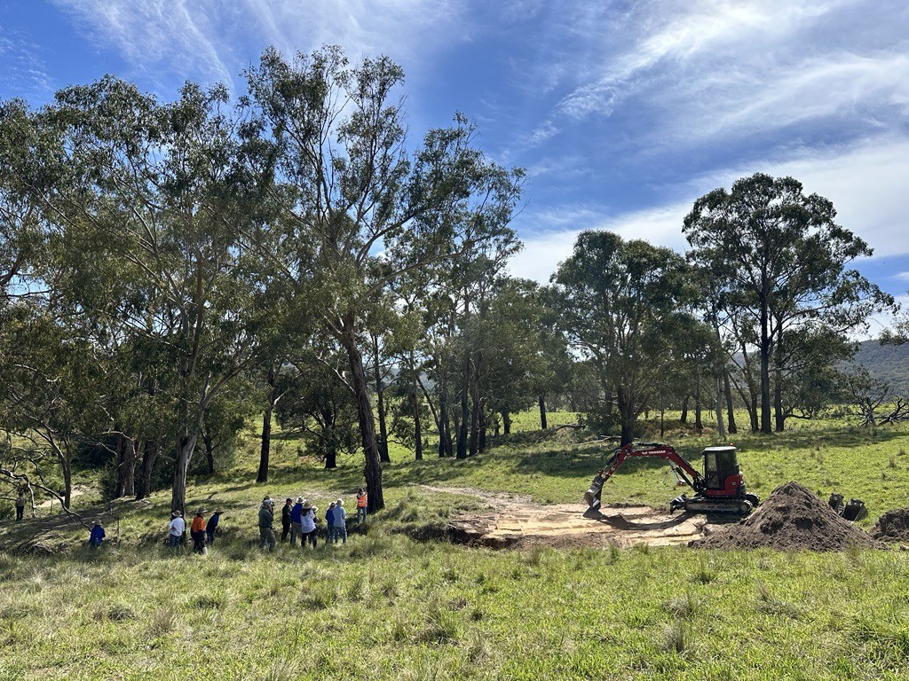
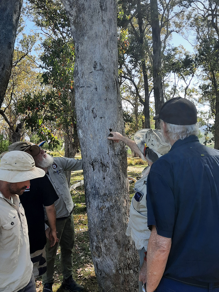
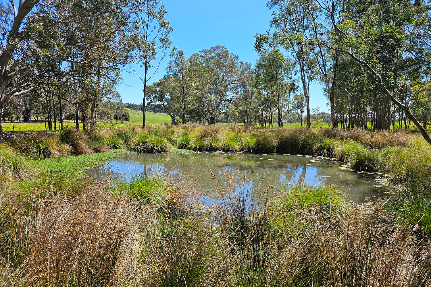
What a year 2025 has been for Mulloon Institute. Our annual report is launched today, and it reflects the efforts of our amazing team. This year we have seen the benefit of all the hard work we have put into the Mulloon Group and preparing it to scale our work across Australia.

Our work reflects our renewed vision – one that honours the remarkable legacy left to us by our founders, Tony and Toni Coote.

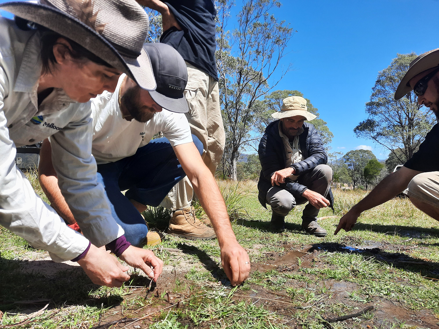
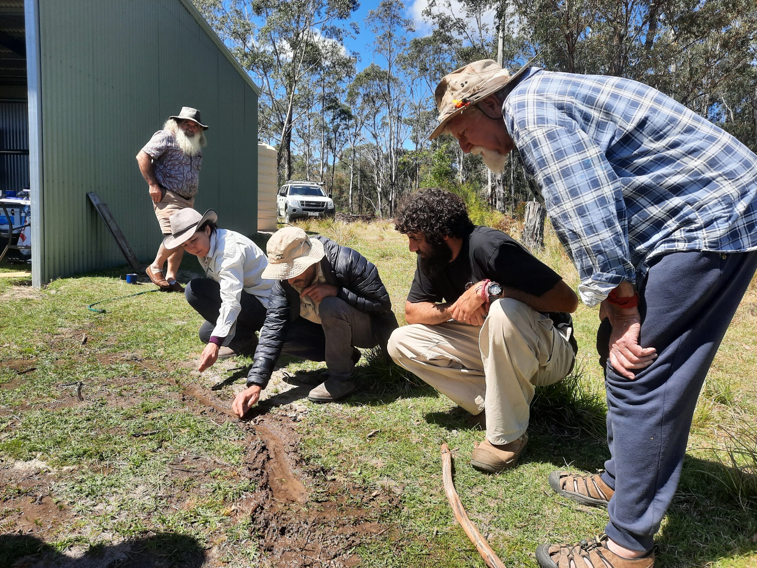
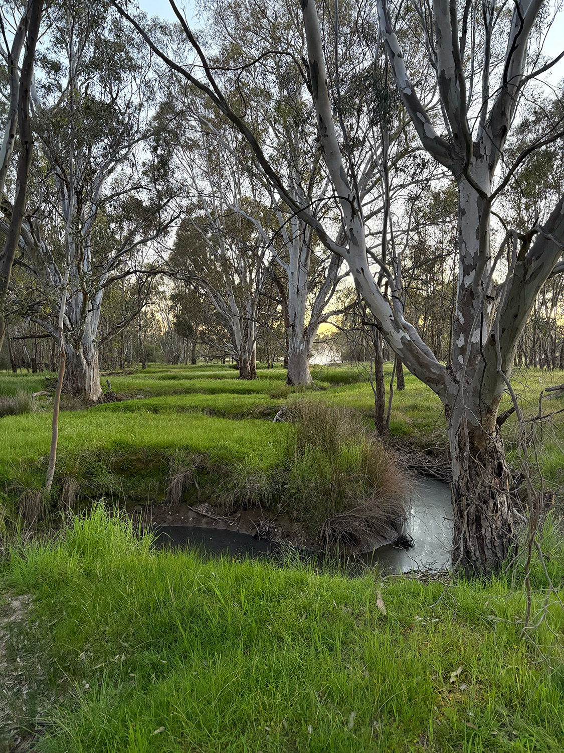
Their vision was profound yet practical: to position Mulloon Institute as one of the world’s leading authorities on landscape rehydration and restoration. This isn’t aspiration – it’s a natural evolution of the groundbreaking work they initiated fourteen years ago when they established Mulloon Institute.

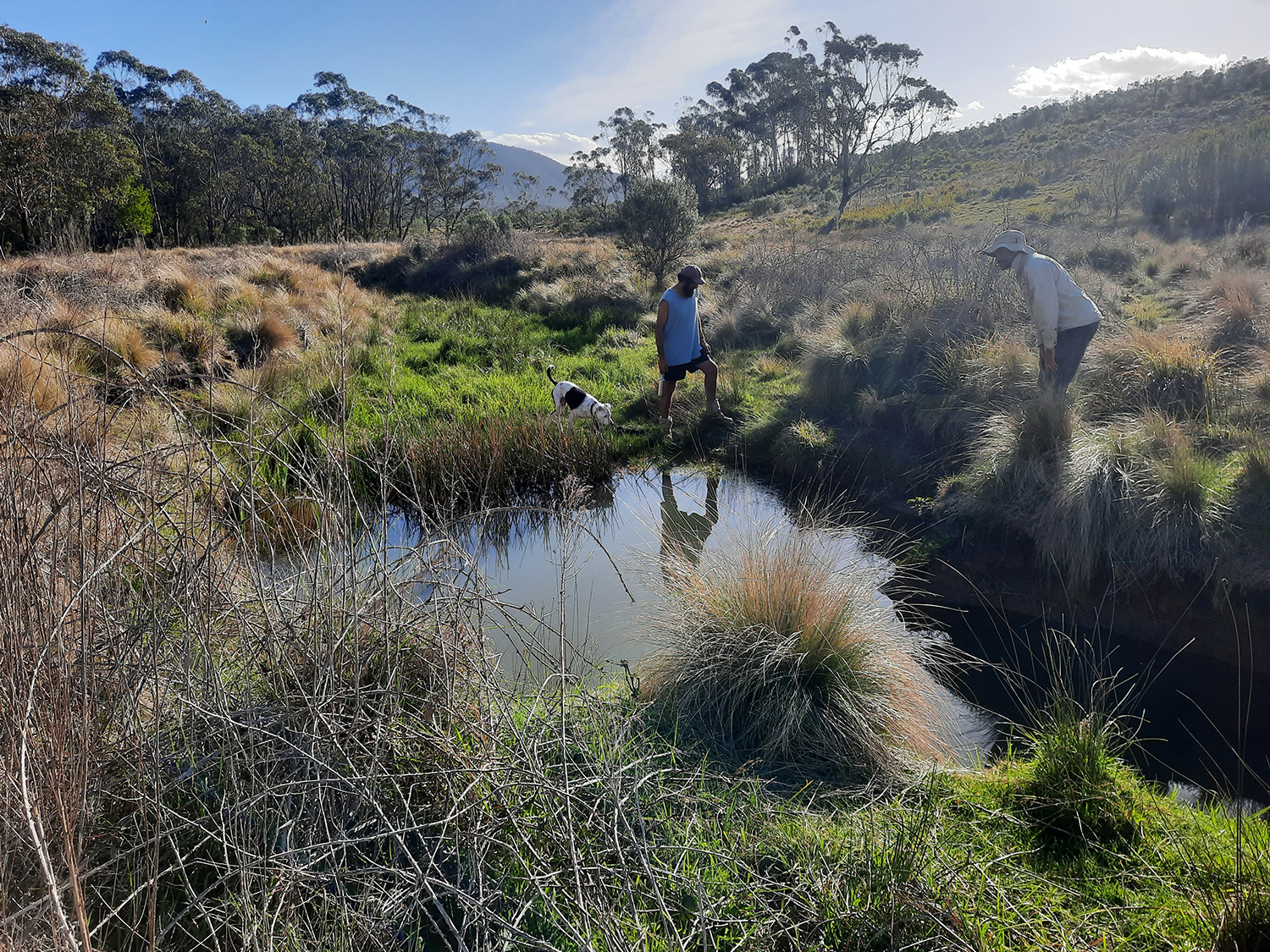
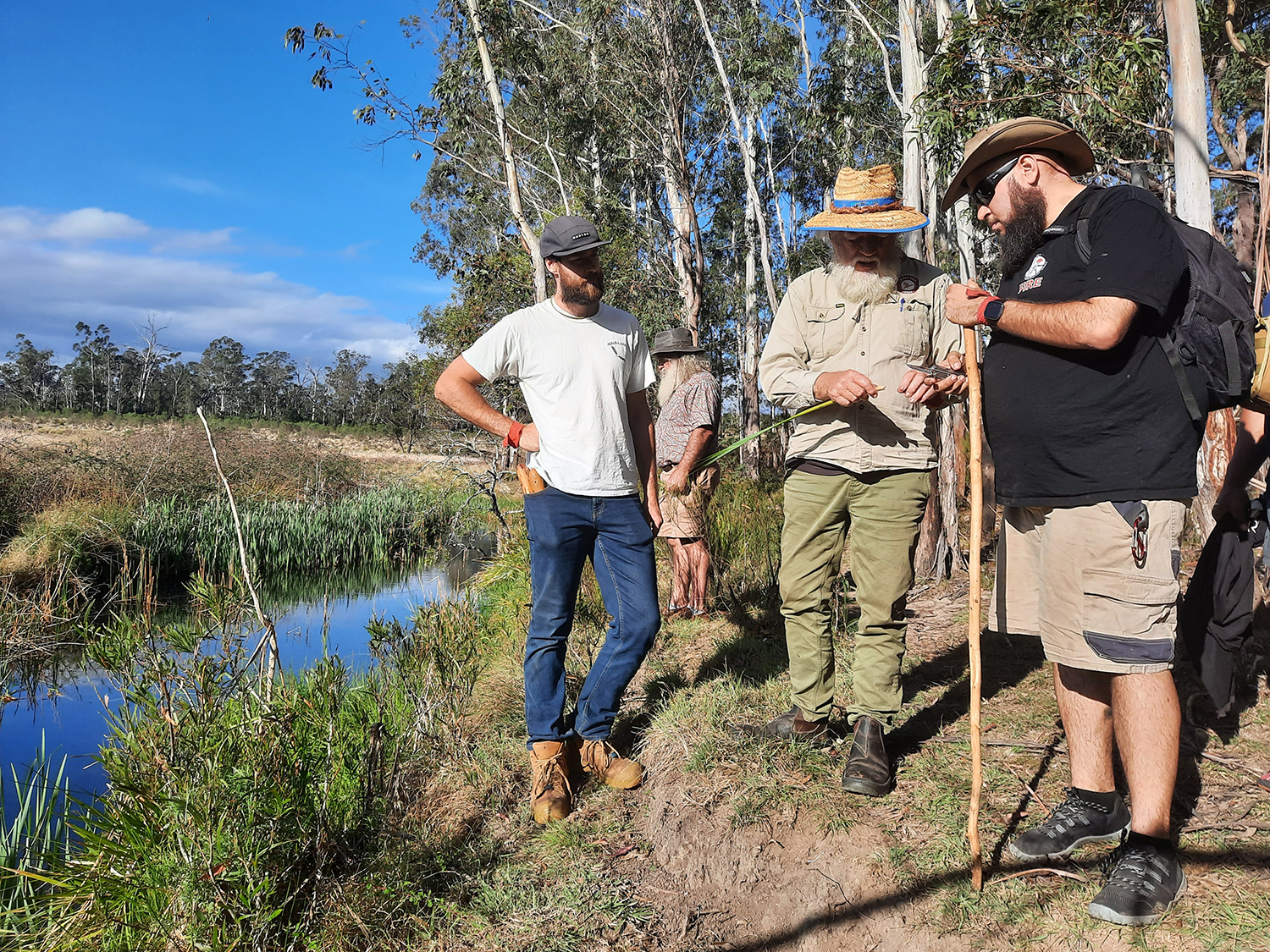
We are building a sustainable organisation with multiple revenue streams, talented people, and robust networks that ensure we continue – and amplify – the extraordinary work they began in 2005 with the pilot project at the Home Farm.

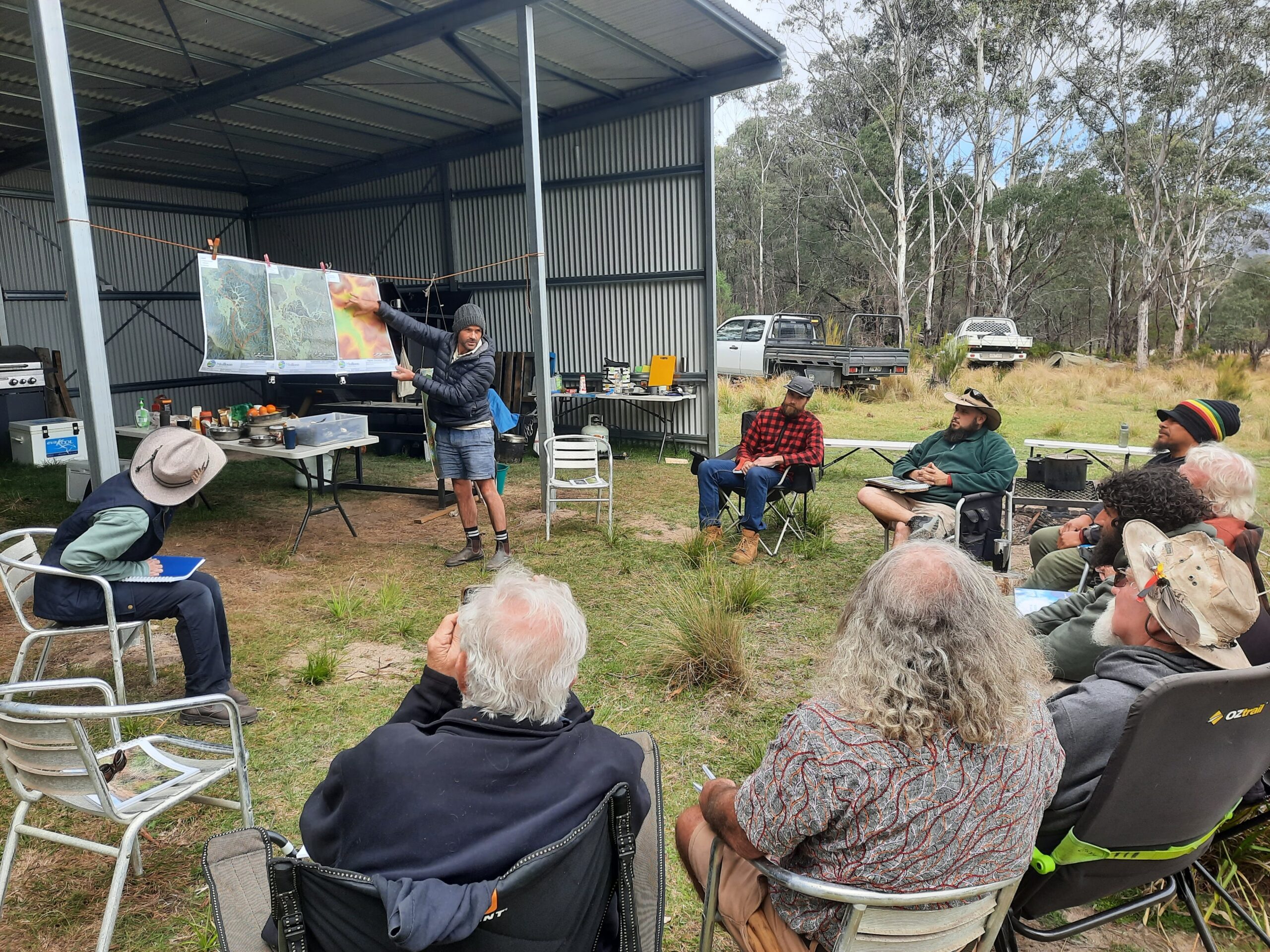
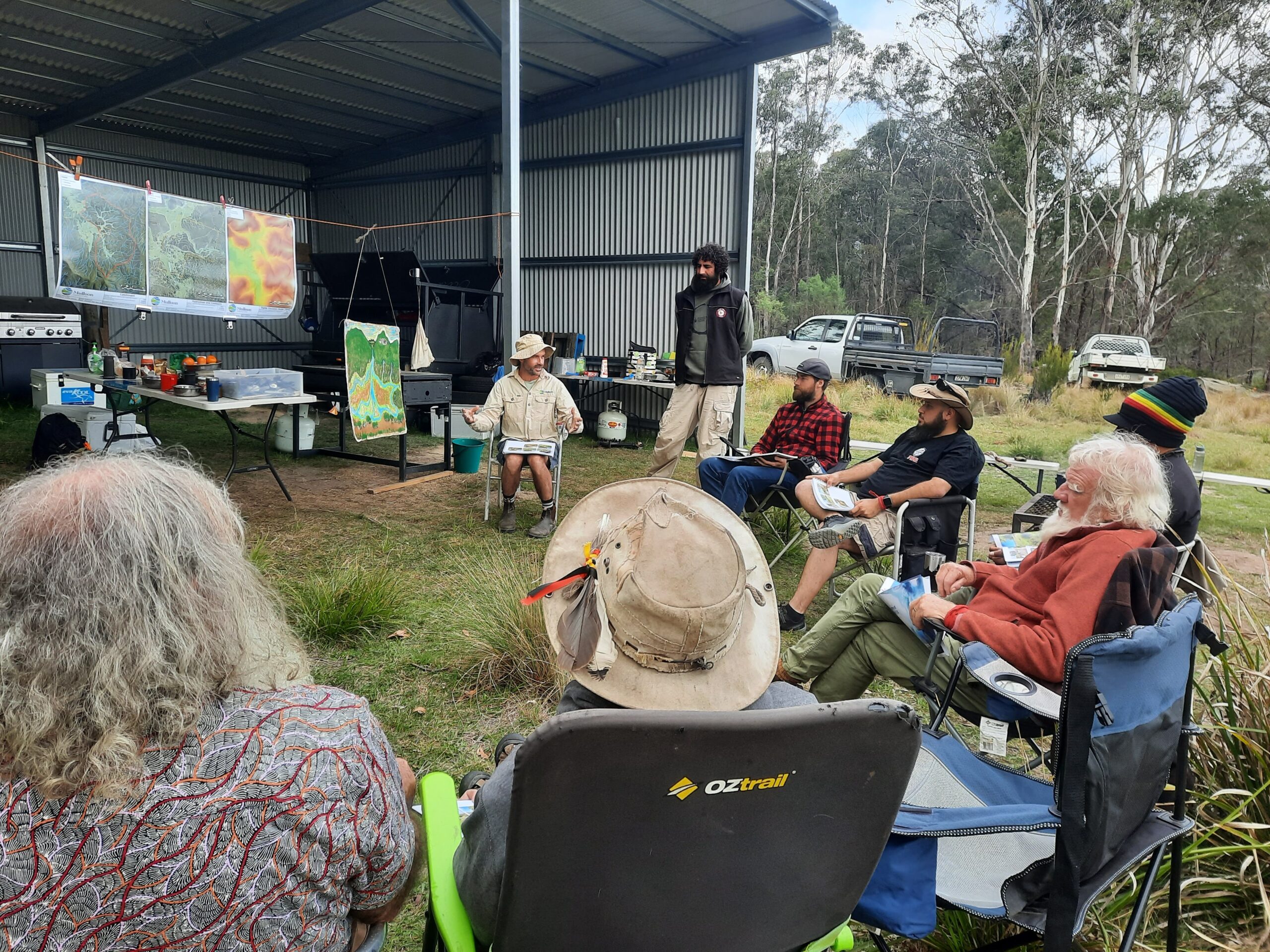
Core to this vision has been the task of establishing the structural foundations of an organisation built to prosper in perpetuity. Our focus is on our technical design approach, building our learning programs and ensuring our business processes and governance are fit for scaling.

We hope you enjoy reflecting on our work this year as much as we have enjoyed putting this report together.

Thank you for your ongoing support.
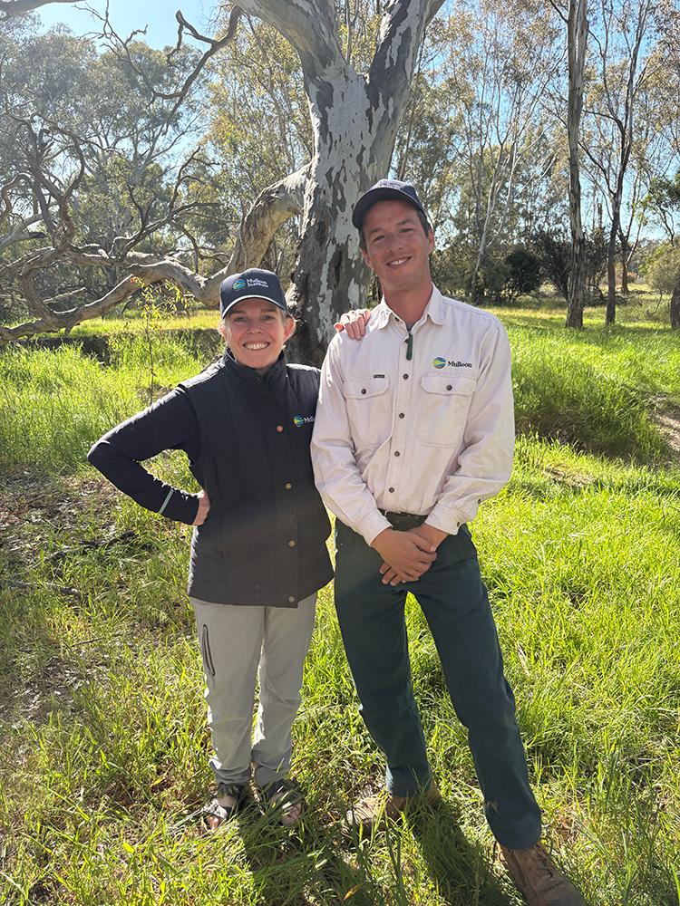
Carolyn Hall
CEO


Please use the green buttons to access the report and financial statements.

2025 Annual Report

2025 Financial Statements

On a windy, blustery, but joyful day, Mulloon staff and dedicated volunteers, including members of Queanbeyan Landcare, joined forces to help restore a stretch of land adjacent to the upper Molonglo River in the NSW Southern Tablelands. 

The event took place on one of the two properties included in the Molonglo Catchment Rehydration Initiative (MCRI), a project that’s focused on using natural infrastructure, including instream structures and floodplain earthworks, to rehabilitate the habitat of the nationally endangered Green and Golden Bell Frog. 

The day was all about collaboration and hands-on local action. Volunteers from the region worked together to plant native trees and shrub species upslope and installed brush packs and pin-weir structures, all designed to kickstart landscape repair. These efforts aim to stabilise the soil and slow the flow of water, nutrients and sediment, ultimately improving water quality in the Molonglo River. A sincere thank you to all our volunteers in pitching in to help this project become reality. 

Stay tuned for updates as we continue work on the in-stream structures planned for this vital restoration project.  

Funding to complete Stage 2 of the project has been provided by the landholder, Mulloon Institute, and NSW Environmental Trust. 

Pictured top banner: Brushpacks underway, at right: the team with the completed brushpacks, and below: planning, before and after. 

Under brilliant blue skies, 25 landholders and community members from Kerosene Creek, Blackmans Creek, and Hartley Vale gathered for a Landscape Rehydration field day facilitated by Mulloon Institute. The day was all about learning, sharing and walking the land together to explore how water stewardship can strengthen our catchments against drought, bushfire and flood.   

After a lively introduction to the principles of landscape rehydration, the group turned its focus to Kerosene Creek – a valley community nestled below Mount Victoria where the creek flows into the River Lett. This catchment has endured the impacts of the 2003 and 2019 bushfires. While natural regeneration and weed management have supported recovery, challenges remain: head cuts, incision, and erosion continue to threaten the otherwise intact temperate swamp and surrounding environment.   

Field walks revealed both the resilience and vulnerability of the system. Participants saw healthy, functioning wetlands alongside priority erosion sites and gullies carved by historic draining. Mulloon’s Landscape Planners shared proposed on-ground designs to restore degraded sections, sparking rich conversations about how nature-based solutions and natural infrastructure can build resilience across the landscape.   

The spirit of collaboration was strong. Discussions turned to how communities can work across property boundaries to achieve catchment-scale impact, and how raising awareness in rural areas is key to healthier waterways.  

The day was made possible by the Lithgow Oberon Landcare Association (LOLA).

Lithgow Oberon Landcare are very happy to be involved with the Water Stewardship program. We believe that Healthy landscapes create healthy communities. Workshops like the Hartley Vale Landscape rehydration workshop bring communities together to learn about landscape function which in turn leads to healthy waterways, wetlands and communities.” – Steven Fleischmann, Local Landcare Coordinator.

A heartfelt thank you goes to Angela and Lydia for hosting the walks, and to Greg, Malcolm, Imre, and Biata for their ongoing partnership with Mulloon. We also acknowledge both LOLA and Blue Mountains City Council for their continued dedication to restoring degraded waterways and managing weeds in the Kerosene Creek catchment.   

Together, we are rehydrating landscapes and strengthening communities – one creek at a time.   

If you would like to learn more about Mulloon’s Water Stewardship Program or the opportunity for on-ground works and events in your community, please visit our project page.

This program is supported by funding from WaterNSW and The Ian Potter Foundation 

In November we hosted our first field day in quite a while! We welcomed over 80 guests, many of whom had not visited the farm or were new to Mulloon, as well as new staff and Board members. 

Soil Land Food’s David Hardwick deftly rolled the soil, water, climate story together with a compelling opening talk that built on the previous day’s excellent Soil Blitz. We then dabbled in the data with ANU Emeritus Professor Steve Dovers, who shared what the Mulloon Creek monitoring is revealing about the hydrological function of the floodplain.

We launched The Regenerative Power of Water publication – what a milestone. WaterNSW’s Stuart Naylor and scientific illustrator Tilda Joy, joined Laura, Erin and Carolyn to celebrate this collaborative effort to create a book that shares how water-focused nature repair really works! The methods it describes are being put into practice by communities across the Sydney Catchment area who are taking part in the pilot phase our Water Stewardship Program, and we got to hear about them as well A candid Q&A attested to how many people in the room are working hard to keep our agrienterprises, ecosystems and rural communities healthy and able to adapt to constant change. Mulloon Institute’s other fresh grant-funded projects – LiFT and TIMME – were also on show.

Pictured at right: Laura, Stuart, Carolyn and Erin launched The Regenerative Power of Water on the day. 

All photos on this page by NVIRO Media.

After lunch things got interactive in the dappled outdoors. Soil Land Food David and Simon Mattsson, along with Ryan (pictured right) and Brooke demonstrated the fantastic Holistic Assessment of Soil Health (HASH) Kit. Culinary artist Marnee Fox enlisted our tastebuds to help our minds gain deeper soil literacy, yum (see photo in banner, top of page). Holistic farmer and artist Erika Watson laid out her luxurious ‘Grazing Blankets’, inviting close engagement with soil, the precious litter layer and the plant-herbivore relationship. And the silt models, ably demonstrated by Sharni, Mitch and Tam, captured attention as audiences could see clearly how water builds and erodes landforms over time, in miniature. We then hopped over to Duralla to see an in-stream structure up close and climb the hill to get perspective on the floodplain.  

Perhaps the best part of the day was the hum of many conversations as this wonderful crowd mingled and got to know each other. Thank you to everyone who made the effort to attend, ‘eat dirt’, ask questions and take part, it really means a lot to the Mulloon team that you all joined us! 

LiFT is funded by the Australian Government under the National Heritage Trust’s Climate-Smart Agriculture Program.
TIMME is funded by the Australian Government’s Department of Agriculture, Fisheries and Forestry through the Future Drought Fund (Resilient Landscapes Program).
The Water Stewardship Program is supported by The Ian Potter Foundation.


At the foot of the Great Dividing Range, landholders from across northern NSW gathered near Tenterfield for Mulloon Institute’s latest Landscape Rehydration Bootcamp in early November.

Funded by Northern Tablelands Local Land Services (NT LLS) and hosted by Granite Borders Landcare Committee, the three-day, hands-on workshop focused on restoring the natural movement, storage and cycling of water through agricultural landscapes.

Led by Erin Healy, Annabel Manning and Brooke Cunningham from Mulloon’s Landscape Planning team, the workshop blended theory, practical in-field training, learning activities and on-ground construction. Over the course of the week, participants learned how water, plants, soils and landforms interact and gained skills and knowledge in implementing management interventions and in-stream structures to regenerate landscapes and make a lasting difference on their properties.

Day One introduced the fundamentals of reading a landscape, understanding the water cycle, property mapping skills and analysing a catchment. Practical, hands-on activities and site visits at the host property in Sandy Flat helped participants gain an understanding of functional and dysfunctional landscapes and how to assess the health of a waterway on their property.

On Day Two, the focus shifted from acquiring to applying knowledge. Having learned how to assess a landscape on day one, participants were tasked with repairing issues using Mulloon Institute’s Landscape Rehydration Toolbox. After a detailed morning session learning the ins and outs of designing management interventions such as contour banks and in-stream structures, participants took part in the popular “Tough Mudder” challenge. Tasked with repairing erosion on miniature flow lines, groups built and trialled miniature interventions to test their understanding of design and implementation to slow water and restore landscape function. In the afternoon the group returned to the host property to learn how to survey a stream using a laser level and how to apply that data to in-stream structure design.

Day Three saw the group assist with an on-ground construction session to treat a significant gully erosion site at the host property. With a focus on ‘bringing it all together’, participants learned how to construct several different interventions including a brush contour, in-stream brush ramps, brush mattressing and a rock ramp. Alongside the build, participants learned specific skills for treating erosion on sodic soils and rebuilding soil function.

After three days of sharing knowledge, testing ideas and getting their hands dirty, participants left inspired to return home and apply their new skills to their own properties. Armed with practical skills, clearer property visions and a deeper understanding of how water moves through their land, they returned home ready to design and build healthy, functional landscapes that hold water, nurture biodiversity and support resilient landscapes… but first perhaps, a well-earned nap.

Special thanks to our wonderful property hosts Roberta, Sandra and Ian, the amazing Kathleen and Chey from Granite Borders Landcare and of course Andrew Walsh from NT LLS, who made this fantastic event possible.

Pictured right: Team Tenterfield: Erin, Roberta, Annabel, Brooke, Sandra, Ian and Andrew.

The recently held Holistic Assessment Soil Health (HASH) days at Mulloon Creek Natural  Farms gave the local community and Mulloon staff an opportunity to come together to learn about soil health and how to monitor this.

Soil health is one of the indicator groups identified as part of the LiFT project as being integral to agricultural production and a functioning landscape. The workshops provided techniques to monitor soil health, which can be done by time-poor farmers and land managers with simple equipment. Soil monitoring is useful to identify any soil constraints, check condition and track any improvement progress.

Over each of the two days of sampling, we divided into four teams and sampled two sites across four different properties, including the Mulloon Rehydration Initiative (MRI), which is our flagship catchment-scale demonstration project, showcasing how landscape rehydration, natural sequence processes and collaborative long-term monitoring can restore hydrological function, improve soil health, enhance biodiversity and build drought-resilient farming systems.

We dug three soil cubes at each site, from which we assessed soil structure, porosity or air spaces, soil organism diversity, topsoil depth and pH which affects nutrient cycling, biological processes and the general root zone environment. We also measured water infiltration rate, which showed good subsoil structure and drainage capabilities of the soil. This provided some good baseline data for each of the four properties sampled and a number of sampling sites, which we can return to in the future.

HASH will make up part of our LiFT toolkit to help land managers and farmers assess the baseline condition of their property, track their property health and identify strategies for improvement. All LiFT monitoring information will be collected in a secure database with a user-friendly dashboard.

Pictured top: Simon Mattson (Soil Land Food) delivering training for HASH day talking about the HASH toolkit.
Pictured right: Simon Mattson (Soil Land Food) delivering training for HASH day looking for biological organisms.
Pictured below: David Hardwick (Soil Land Food) delivering training for HASH day.
*All pics courtesy of NVIRO Media.

Sometimes ecosystems can be illuminated in unexpected and touching ways. Anne Wen, Eddie Conde, Oonagh O’Dwyer, Kayla Wade-Lehman from ANU Art and Design have certainly shown that with their tapestry landscape, comic and animation.

For their Mulloon-engaged project this semester, we invited them to provide visually engaging material to accompany the scientific data we will share in storymaps and other content about the way the in-stream structures create habitat for frogs, platypus and other creatures. The team got to see some examples at Lorrina (revisit the blog here), and figured out how to wed together their skillsets with a vibrant multi-media approach. 

Along the way they fell in love with the life of freshwater creeks, as their testimonial below suggests!! We’re thrilled that you came on this journey with us. Thank you Eddie, Anne, Kayla and Oonagh for playing your part in the science communication challenge, and best of luck with the rest of your studies!!  

This engagement with ANU Art & Design was supported by the Landscape Function Toolkit (LiFT) project, a climate resilience project funded by the Australian Government under the National Heritage Trust’s Climate-Smart Agriculture Program

In October, Mulloon team members joined Back to Country – a Yuin-guided organisation dedicated to healing Country and people – for a camp at Yambulla in southern NSW, exploring how landscape regeneration opportunities could align with the emerging First Nations Water Skills Certificate.

Back to Country are an Aboriginal organisation guided by Yuin teachings and dedicated to healing Country and people that have been part of the Mulloon journey for many years (revisit this blog post about a workshop in 2022). They are also one of the collaborating partners in our project to create a First Nations Water Skills Certificate. 

In October, members of the Mulloon team joined several members of Back to Country for a camp at Yambulla, a property being managed with a vision of joint custodianship of Country bringing together First Nations Culture, conservation, research, education and knowledge-sharing. Yambulla is in Southern NSW, not far from the Victorian border. It occupies a beautiful valley with many waterways and is a landscape with a varied history of pastoralism, mining and forestry. On this camp we wanted to discover how the opportunities for regeneration at Yambulla could dovetail with the skills pathway we are creating together.  

The camp brought us in touch with a landscape filled with bird life, swamps dense with phragmites, native grasslands and grand old trees. We examined the erosion caused by feral pigs and deer, and the hillsides that had until recently been logged for timber pulp. We also investigated many hydrated ponds and explored a ridgeline topped with an in-tact patch of native woodland. We tracked the magical way water flowed in many directions before leaving the valley, drawing understanding from a painting Uncle Lenny had produced having spent time on Yambulla during flood.  

We were all enriched by spending time in the Yambulla classroom, and threading together opportunities for regenerative work, such as addressing the deer problem, supporting the rehydration and recovery of bushland on the logged slopes, managing erosion within flow lines, cultural mapping and hosting healing camps for young people on-site.  

This event was supported by the Australian Government through funding from the Climate-Smart Agriculture Program under the Natural Heritage Trust.  

Pictured at right, from left: Uncle Bruce, Felix, Jack, Nathan, Laura, Robert, Uncle Greg, Tam, Tasi, Uncle Lenny (and Bundi).

Mulloon teamed up with Bush Heritage Australia and local landholders in the Strathbogie Ranges to help monitor and revive a historic Landcare catchment.

Mulloon Institute’s spatial science specialist, Chris Inskeep, and communications officer, Cass Moore, recently joined Bush Heritage Australia for a citizen science bioblitz at Turnip Creek in north-east Victoria. The event aimed to establish baseline monitoring for bird and frog populations along Turnip Creek and Folly Creek in the Warrenbayne/Boho district of the Strathbogie Ranges. Chris and Cass joined a team of experienced volunteer citizen scientists for morning and evening sessions, counting wildlife along treed creek corridors in farming landscapes that had been cleared for generations.

The Warrenbayne/Boho Land Protection Group was one of the first Landcare groups formed in Victoria back in the 1980s. The Turnip Creek catchment-scale project began in early 2022 when local landholders formed a consortium with Bush Heritage Australia, Alluvium and Mulloon Institute to source funding. Funding was later secured from the William Buckland Foundation, with key support from the Victoria Drought Resilience Adoption and Innovation Hub and Deakin University. In 2023, Chris and Mulloon’s Erin Healy revisited the site to provide technical insights for on-ground works and advice on monitoring equipment and systems.

Right: A volunteer identifying birds along Turnip Creek.
Below: A natural spring beside Folly Creek is a haven for a variety of frog and birdlife.

Description of image

During 2024, monitoring equipment had been installed across four properties along Turnip Creek, with data collected over the past 12 months as part of ongoing baseline studies.

The October bioblitz saw four teams camping at Folly Creek and working alongside local landholders – both for the wildlife count and to install nesting boxes in ancient River Red Gums and frog monitoring equipment for ongoing studies. The passion, knowledge and commitment of the young volunteer group inspired everyone on the ground – the future of biodiversity in Australia is looking very bright!

The perfect spring weather made for some wonderful days away from the office for everyone, and the BBQ on the final evening with volunteers, staff and landholders was cause for great celebration for the project finally underway and the anticipation of what’s to come for the catchment over the next few years.

Gratitude to Joel, Caleb and Sarki from Bush Heritage Australia for having us along for a fabulous few days in the field.

Right: Mulloon staff Cass Moore and Chris Inskeep enjoying the perfect weather along Folly Creek.
Below: A Peron’s Tree Frog spotted at a landholder’s home!

Description of image

Mulloon’s landscape repair expertise is helping restore water flow and resilience at NASA’s Canberra Deep Space Communications Complex — right in the heart of the ACT’s Paddys River catchment!

The Canberra Deep Space Communications Complex (CDSCC) is located west of Canberra and falls within the Paddys River catchment in the south of the ACT. The complex is located within a rural property covering 130 ha at the foot of the Bullen Ranges. The property has historically been extensively cleared and used for livestock grazing and the cultivation of potatoes on the valley floor. This has led to the concentration of flows into Larrys Creek, creating a deeply incised creek channel and dehydrating the surrounding landscape.  

Mulloon Institute was approached in 2023 after the team at the CDSCC observed the works we had completed on the adjacent Tidbinbilla Station. In August 2023, Mulloon Consulting was commissioned to explore and make recommendations to address gully erosion in Larrys Creek and active erosion in the channel floor. After extensive negotiations with CSIRO and funding from NASA, Mulloon Consulting was commissioned to prepare detailed designs, gain regulatory approval from the ACT Government and construct landscape repair interventions. 

Peter Hazell, Jack Smart, Tony Wells, Erin Healy, Mitch Lennon, Ryan Badowski and Colby Soderberg all spent time on site over a six-week period in AugustSeptember to deliver stage one of the works with Coopers Earthmoving. The team constructed 9 log sill and rock weirs, 5 rock groynes, 2 rock baffles, 1 log-sill and rock access crossing and undertook bank reshaping at 2 sites. Revegetation works in the riparian area around the structures has also been undertaken as part of the project. Although wet weather caused some delays, it was fantastic to see the results immediately as the new ponds filled quickly, and although the flow in the channel stopped after a couple of days, flow further downstream continued to power on as a spring on the floodplain had been recharged! 

This was a fantastic last construction project for Peter Hazell prior to his retirement and a great learning opportunity for the rest of the team. There are still another 14 structures and 3 bank stabilisation sites planned to remediate the lower reaches of Larrys Creek at the CDSCC, with the schedule for stage two currently being determined. A big thank you goes out to the CDSCC team for their hard work in getting the project off the ground and for their involvement throughout.