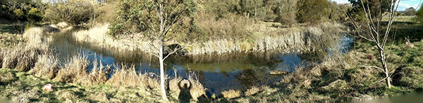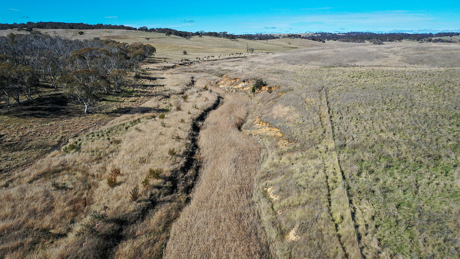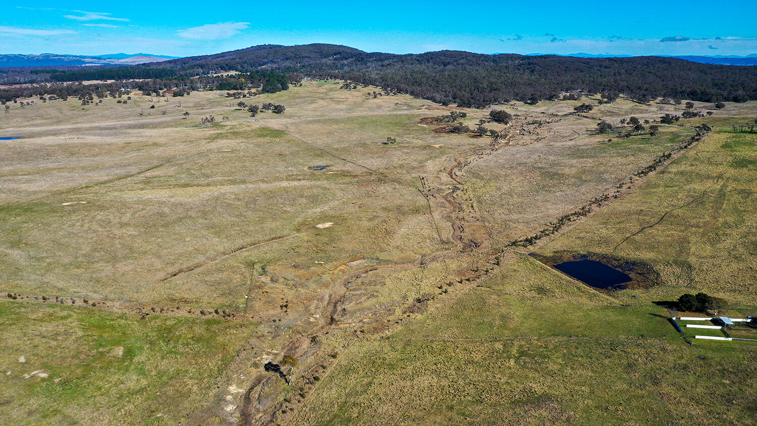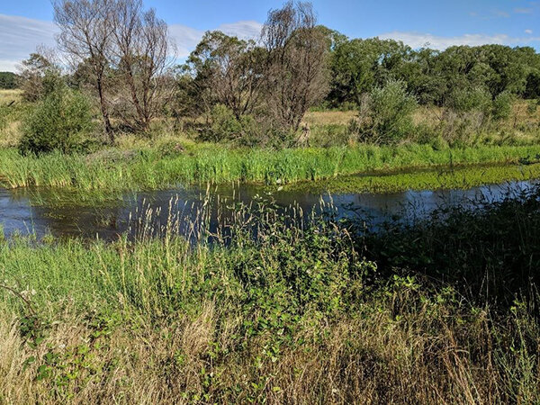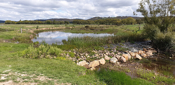
Mulloon Creek on Landtasia shortly after the bushfire season of 2019 / 2020.
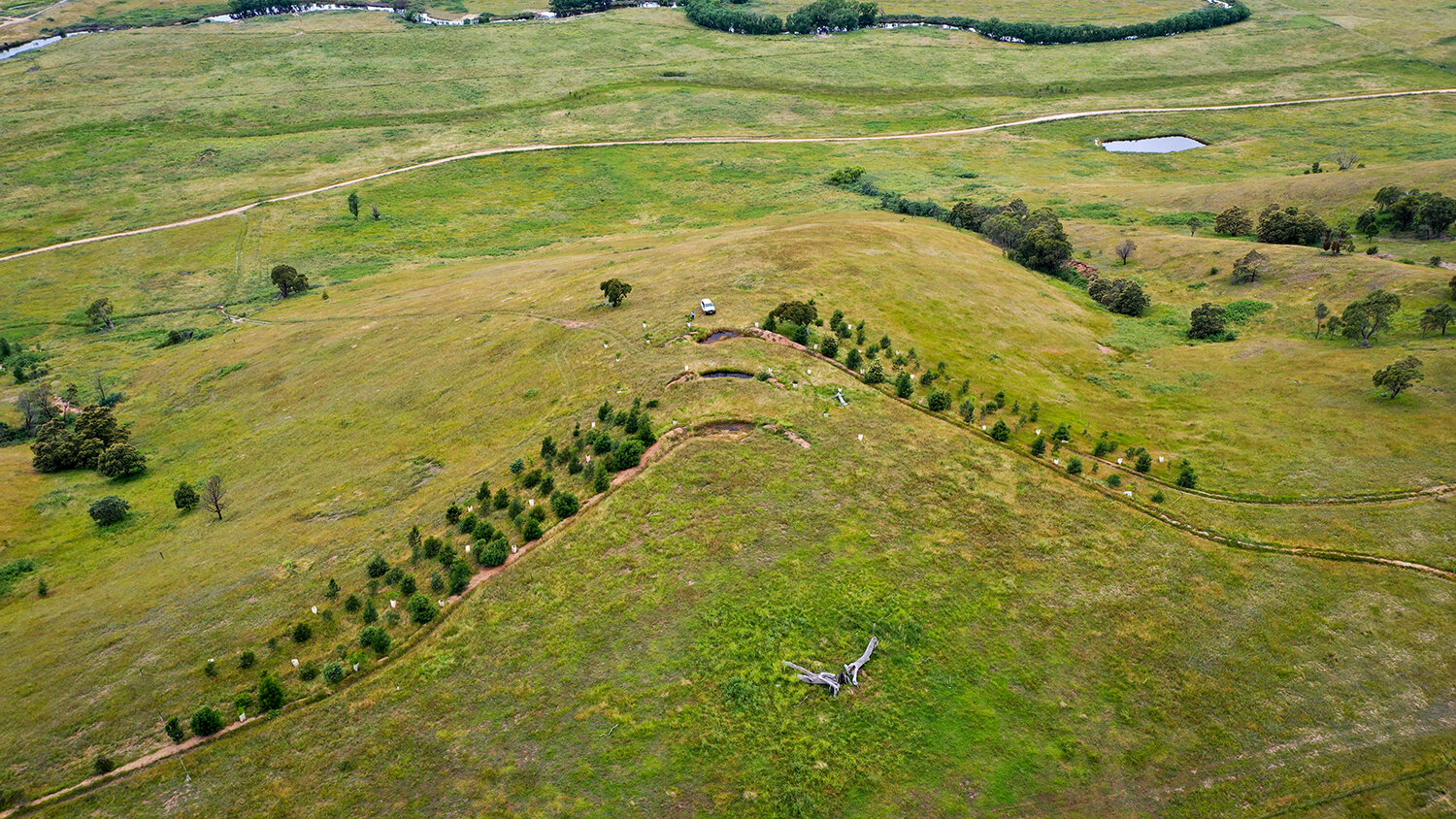
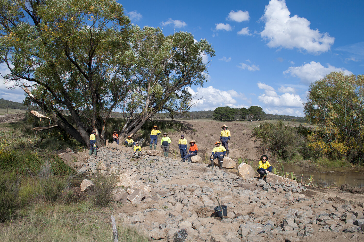
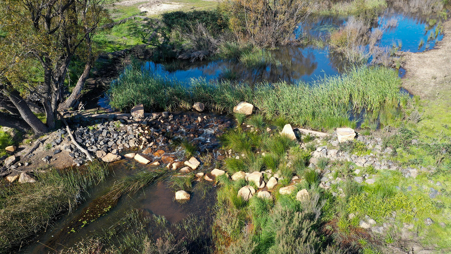
Work is currently underway on the planning process for the construction of leaky weirs on Landtasia, in the upper end of the Mulloon catchment, as part of the Mulloon Rehydration Initiative.*
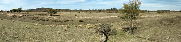
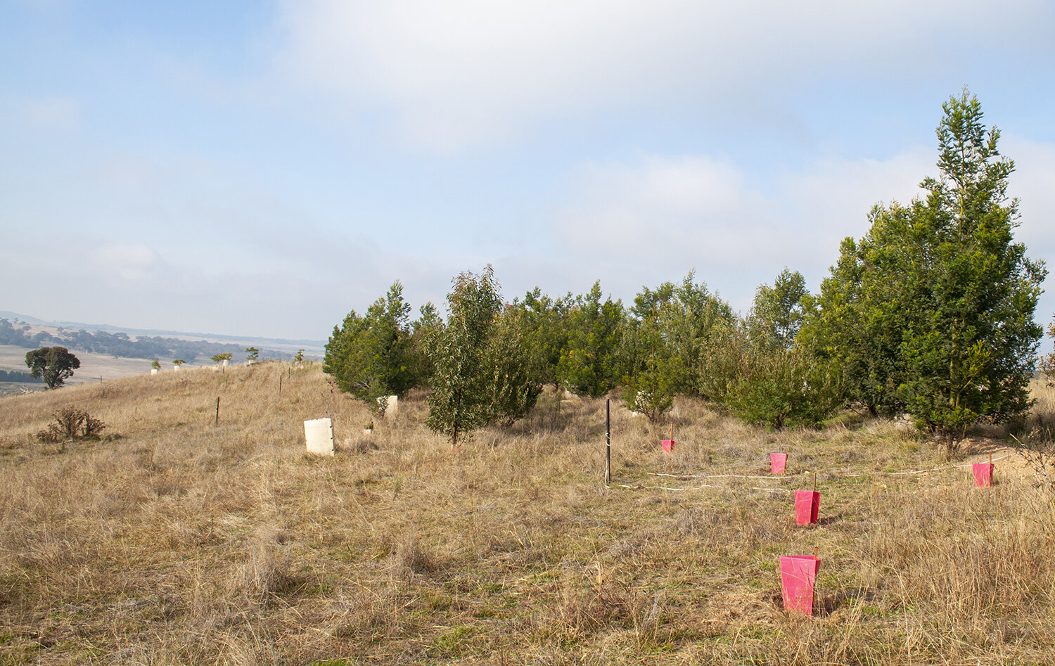
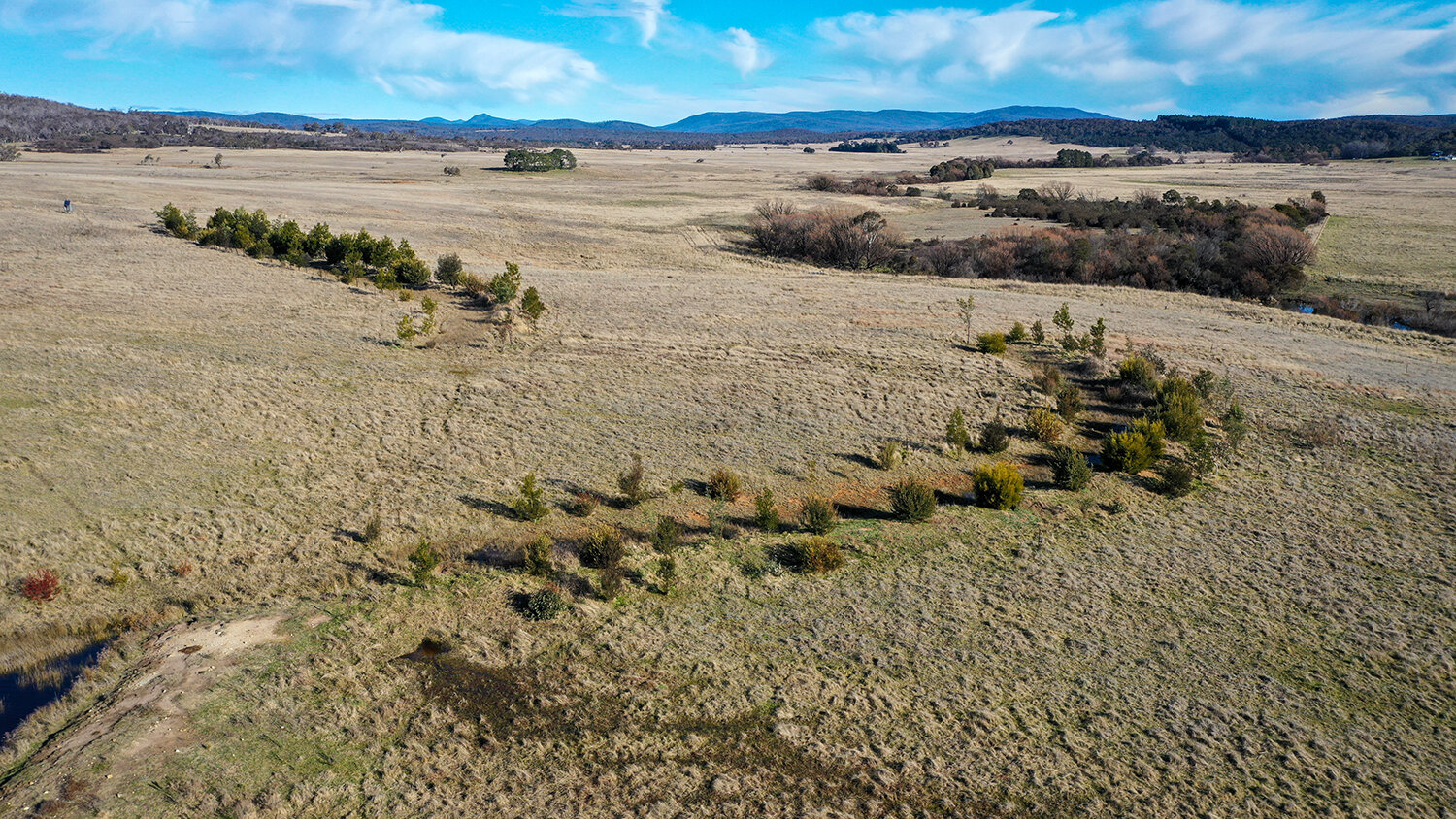
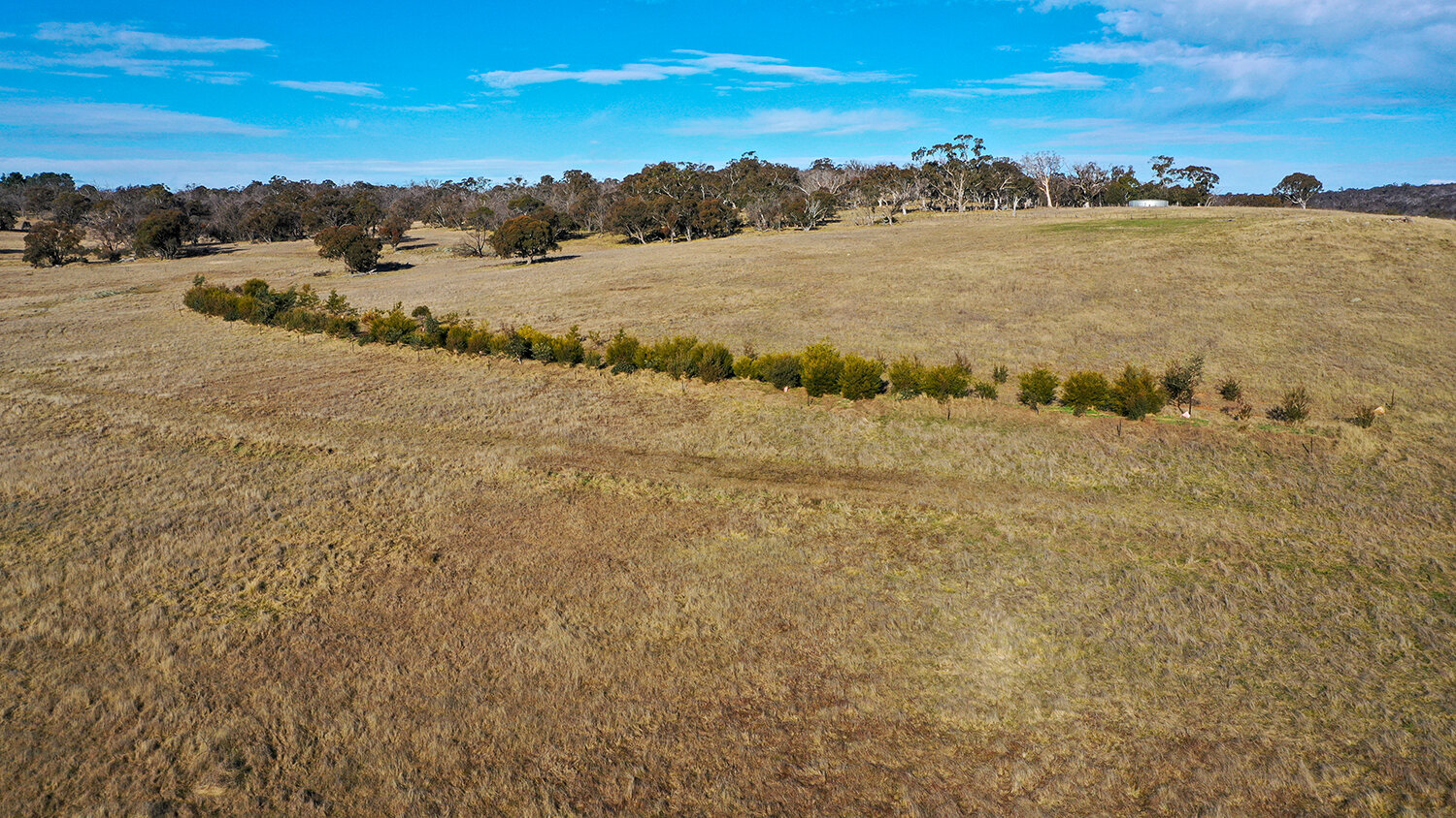
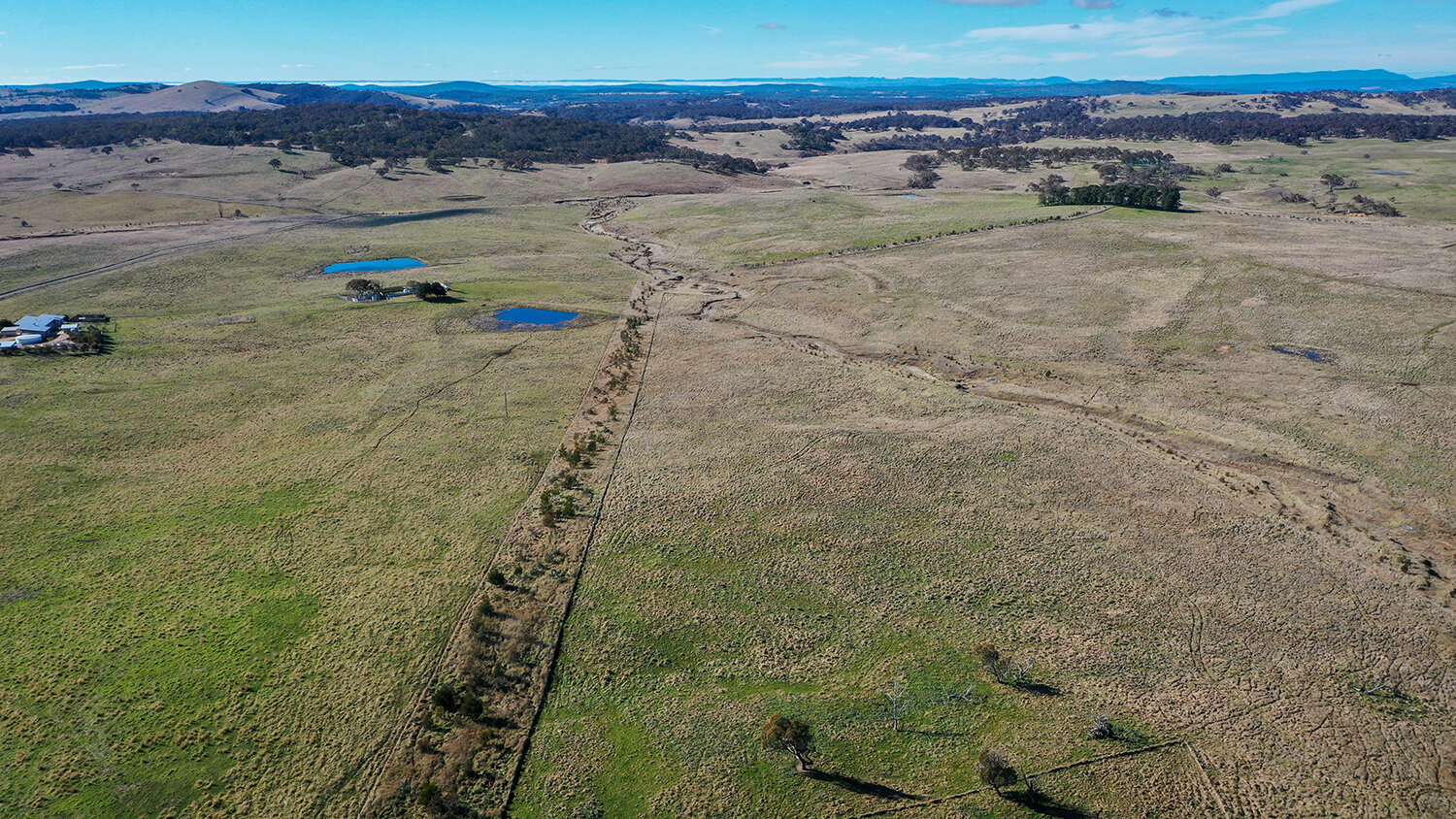
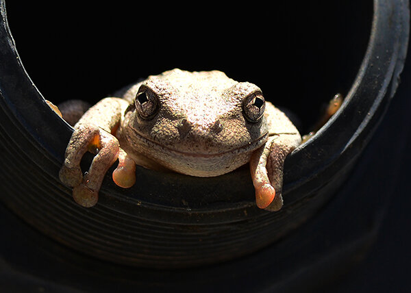
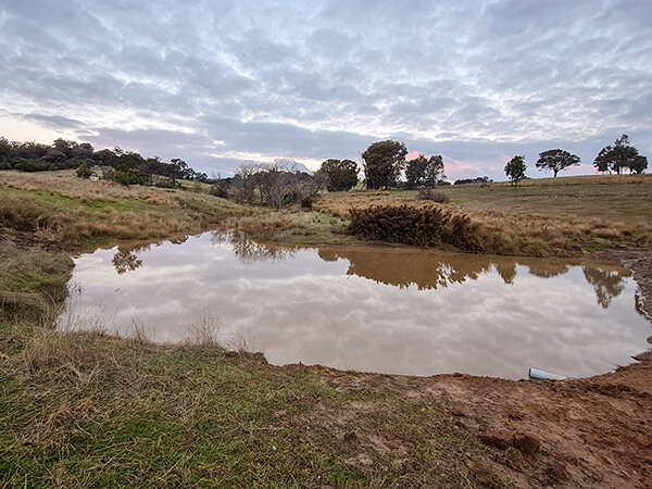
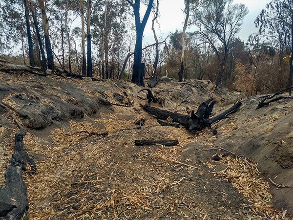
During the 2019-2020 bushfires about 40% of the Mulloon catchment was burnt including a large part of the Landtasia property. With many stands of in-stream vegetation destroyed by the fires, the floods that followed during 2020 caused erosion of Mulloon Creek and its tributaries.
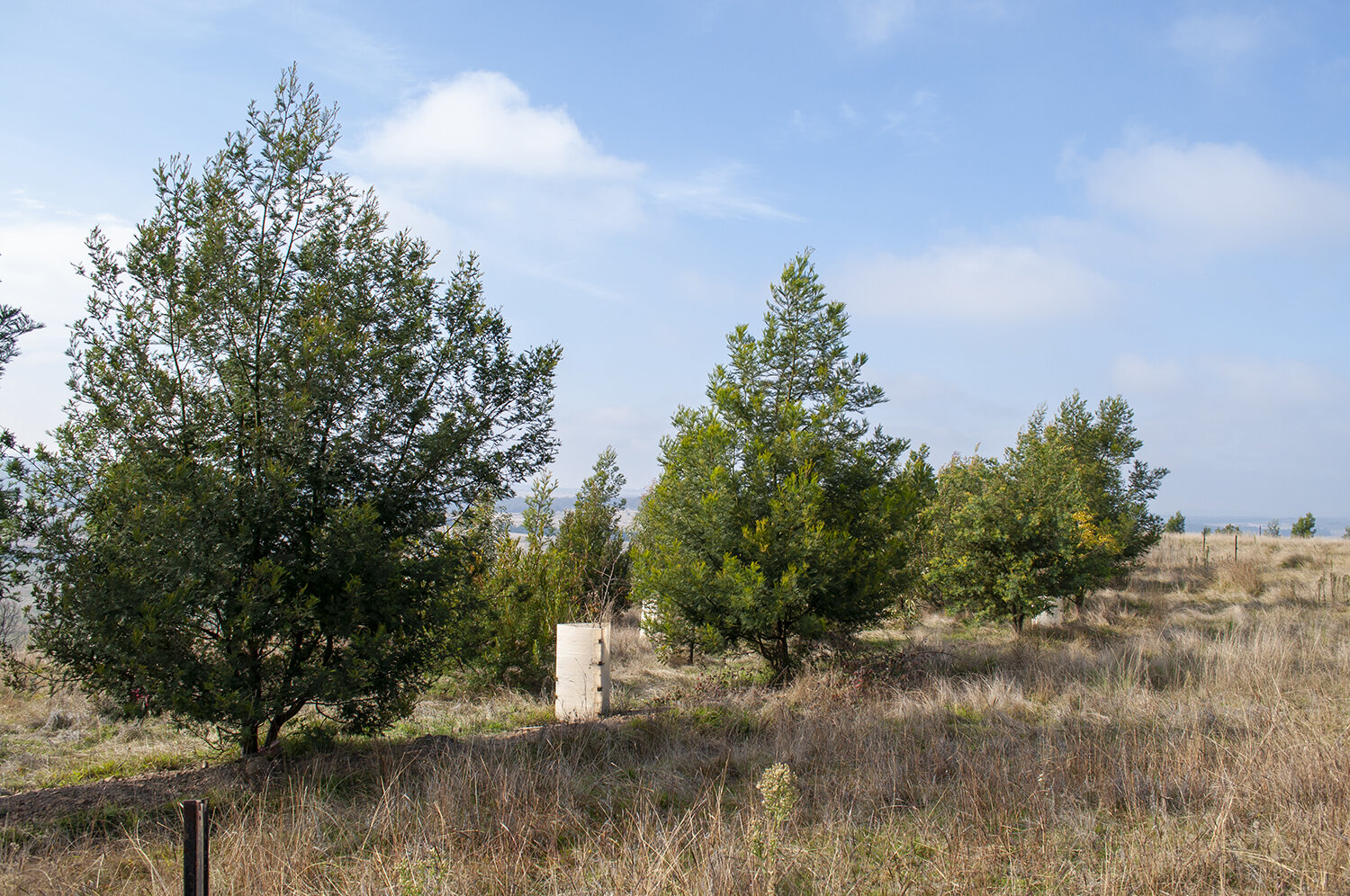
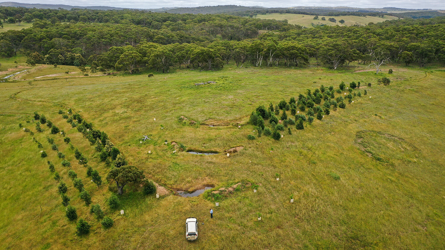
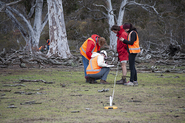
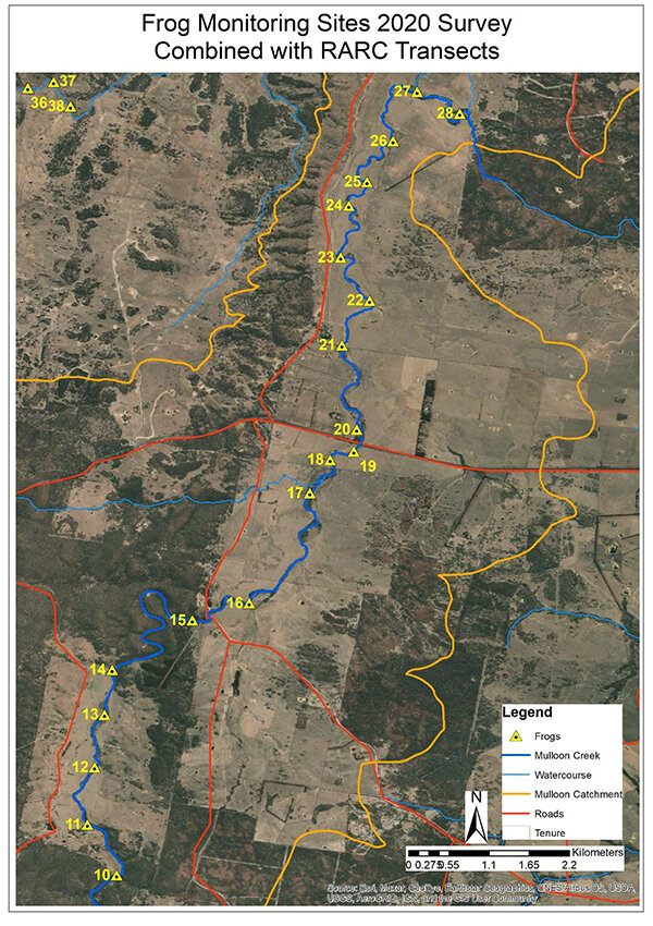
On-ground assessment of the site has determined nineteen leaky weirs which are being planned for the reach of creek spanned by the Landtasia property. By encouraging the proliferation of riparian vegetation, the proposed measures are intended to offset incision of the channel that has happened since the fires, while increasing resilience of the creek to such events in the future.
Unlike areas further downstream, the Landtasia reach of Mulloon Creek has been set aside as Crown land. Because of this the process for obtaining regulatory approval will follow a different course to former projects at Mulloon. The work currently being undertaken on the planning and design is crucial to support the case for construction of the proposed measures.
* The Mulloon Rehydration Initiative is jointly funded through the Mulloon Institute and the Australian Government’s National Landcare Program. The initiative is also assisted by the NSW Government through its Environmental Trust.
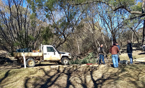
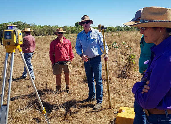
Peter Hazell meets with the Landtasia management team (Martin Teece) as part of the fieldwork undertaken to identify sites. Photo taken in 2019, just before the fires.