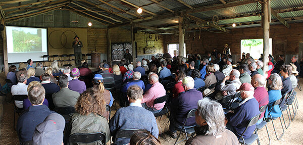
Members of the Mulloon Institute’s Science Advisory Council have been focusing on a scientific paper, ‘Long term Environmental Research and Monitoring in a Production and Social Context: Case Study and Principles’, to be published in the Ecological Restoration Journal. The paper will establish a framework that underpins the Mulloon Rehydration Initiative’s multi-faceted scientific monitoring program using an integrated systems approach.
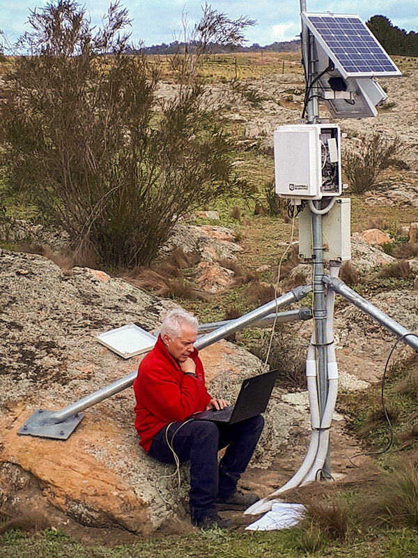
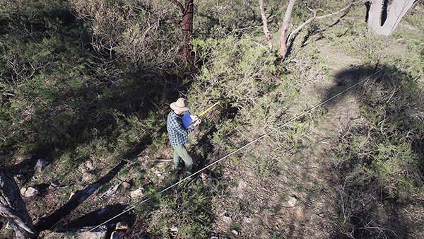
Hydrologist Tony Bernardi checking stream gauge at Mulloon and Reedy Creek confluence
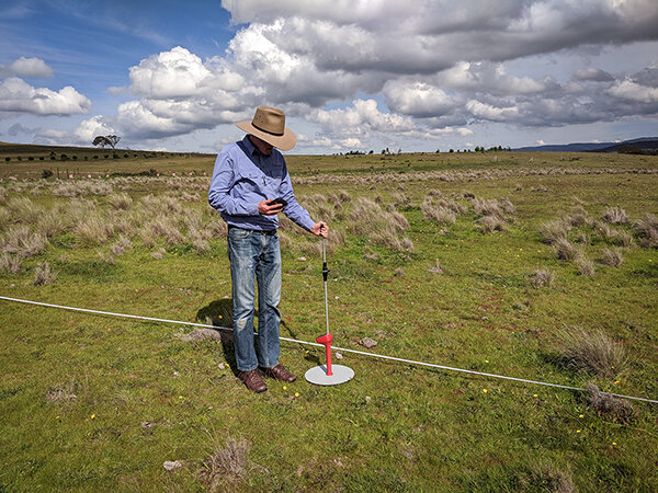
Research Coordinator Luke Peel and Hydrologist Tony Bernardi have been busy with Dr Richard Campbell (Hydroterra) compiling a comprehensive Monitoring Strategy document for the MRI. This provides the details of the what, where and how of all that is to be monitored, data management, integrated analysis and reporting capabilities and is critical for determining what monitoring and associated equipment is required where, and to what specifications. It also provides the basis of many research projects for proactive university students.
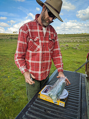
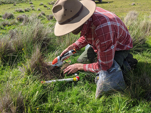
Science Officer Nolani McColl and Luke have been obtaining quotes for the monitoring equipment to be purchased and are pleased to report that a significant portion of the budget will be spent on Australian made instruments. We plan to engage many local businesses for supplying and installing the monitoring equipment and MI is proud to have this opportunity to help provide a significant economic stimulus to Australian and local businesses.
This project is jointly funded through the Mulloon Institute and the Australian Government’s National Landcare Program and is supported by various affiliates.