
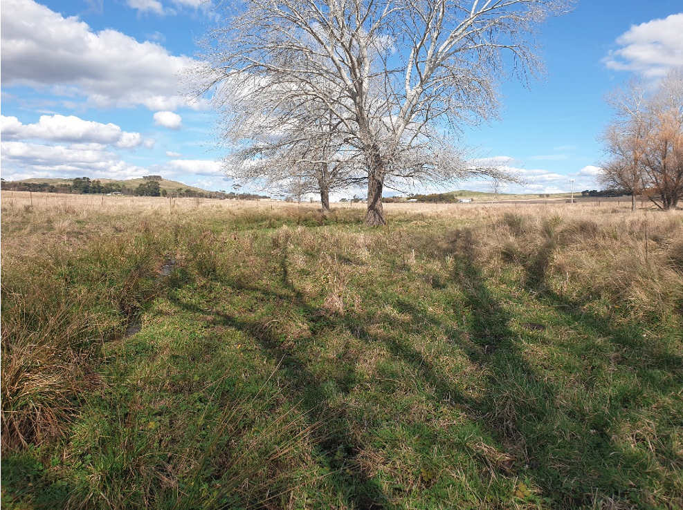
Braving the frosty starts to the mornings, some have been as low as minus 5ᵒC recorded at our climate stations 

There have been a few changes to the Mulloon Rehydration Initiative’s Science & Monitoring team lately.  

We recently farewelled our long-standing Research Coordinator Luke Peel.

The team now consists of: 

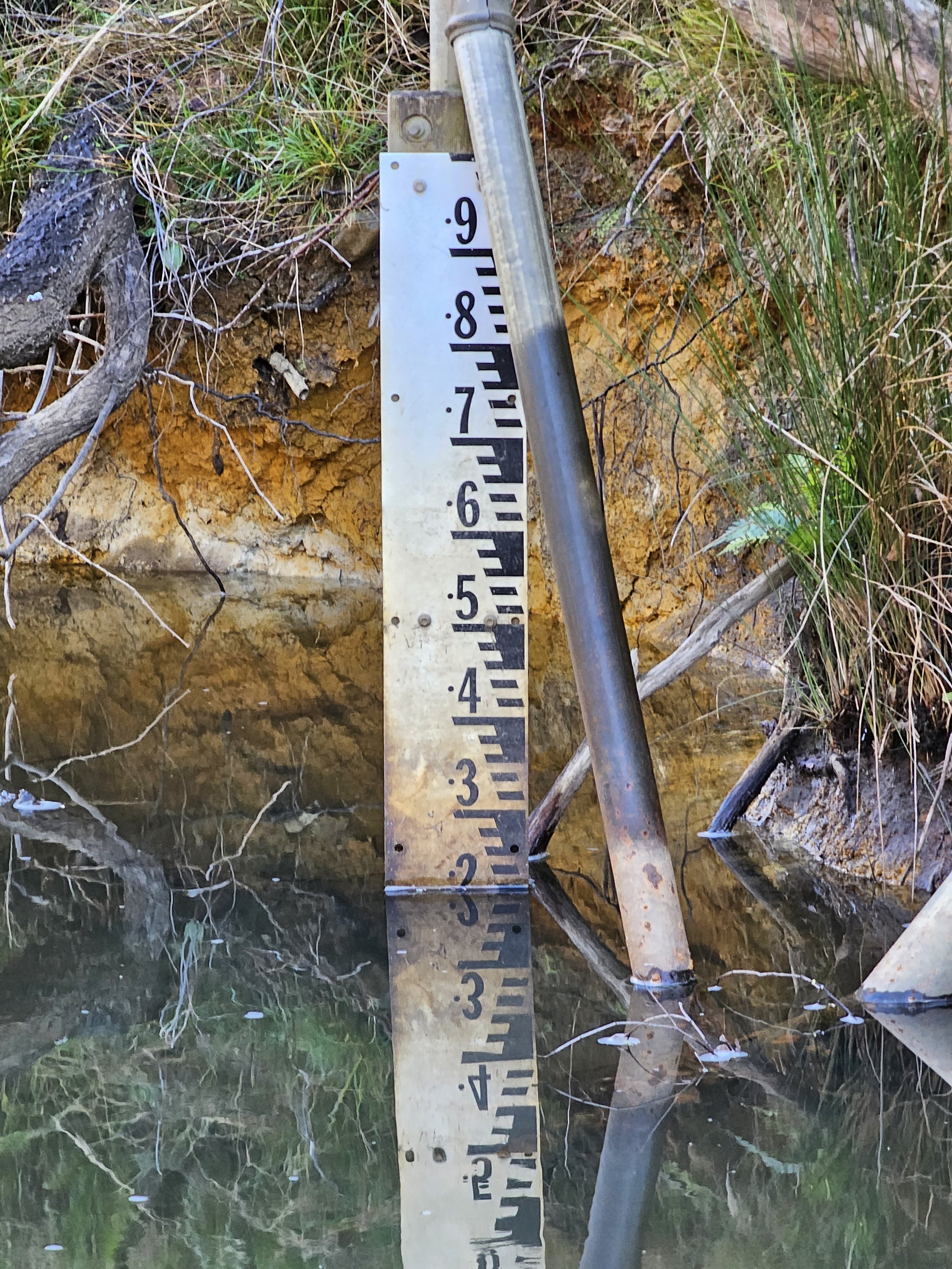
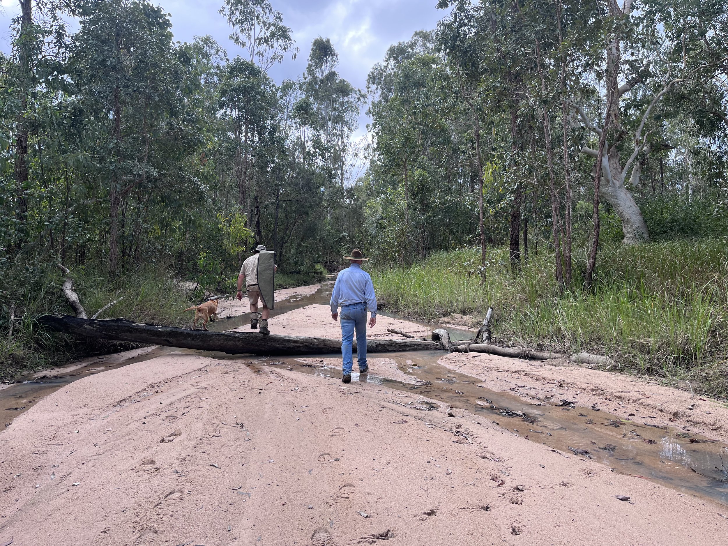
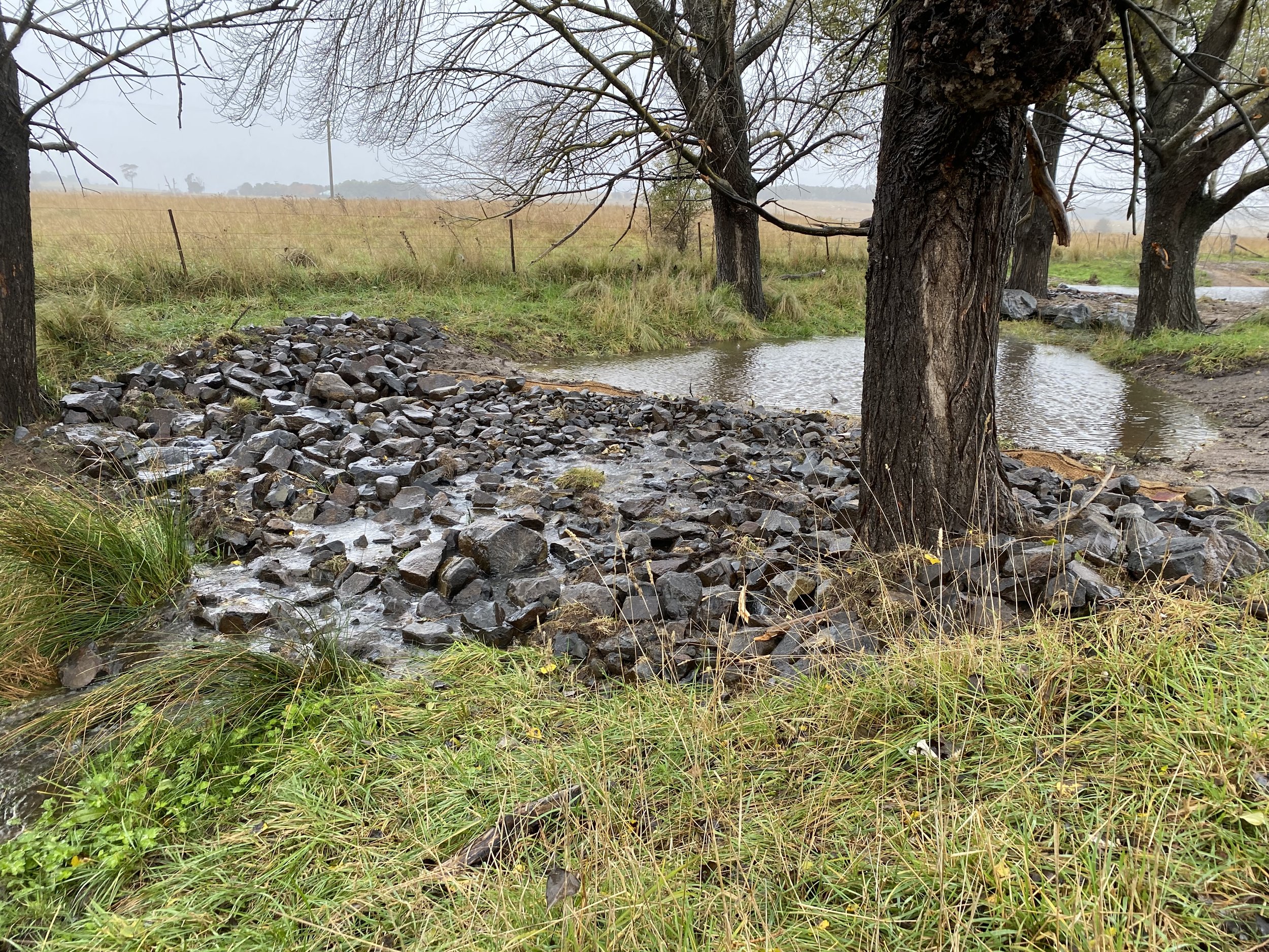
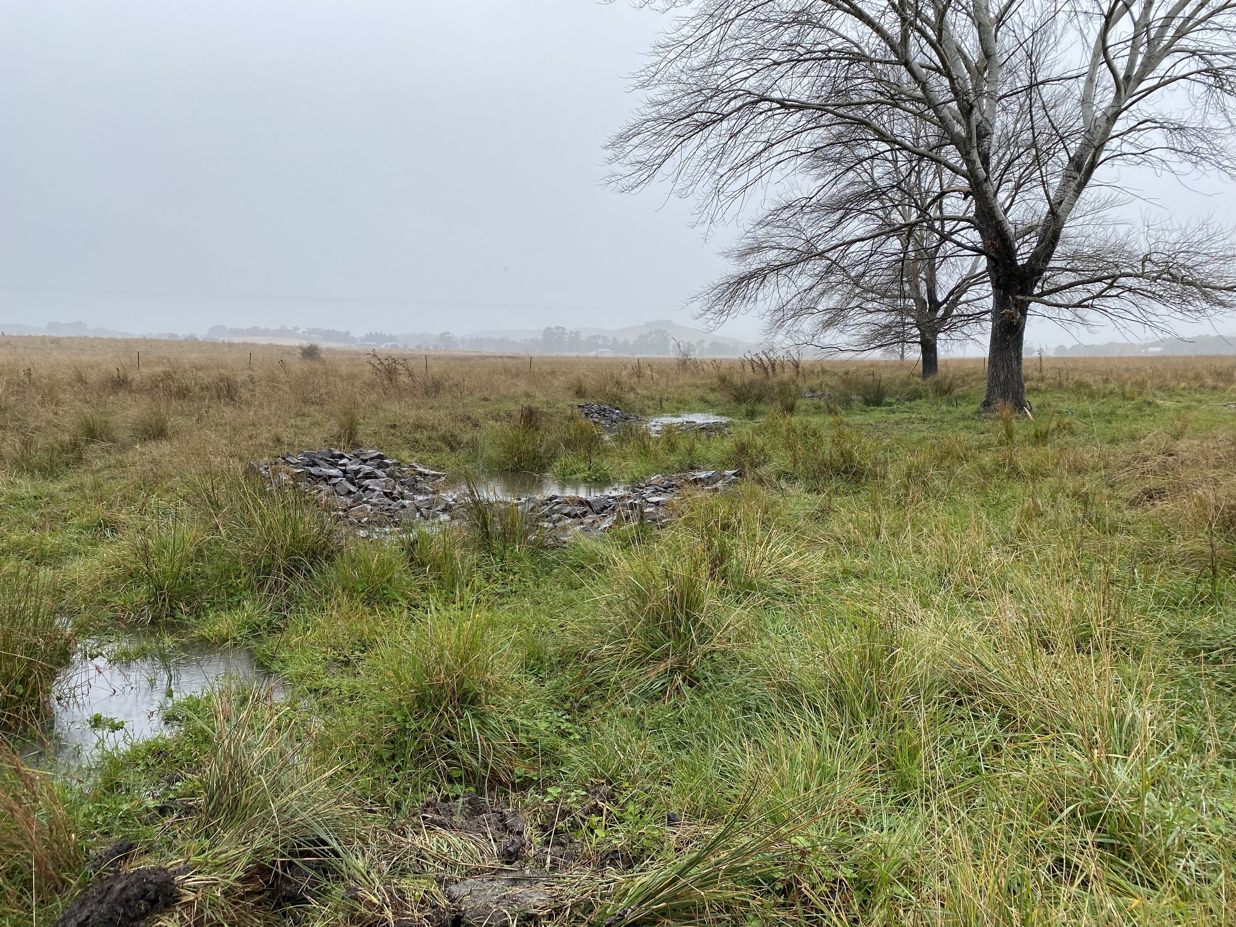
The team has just completed regular maintenance runs where each individual instrument site is visited and regular maintenance and downloads are completed. 

These instruments include: 

  • hydrological & groundwater monitoring stations 

  • stream gauges 

  • climate stations or automated weather stations (AWS).

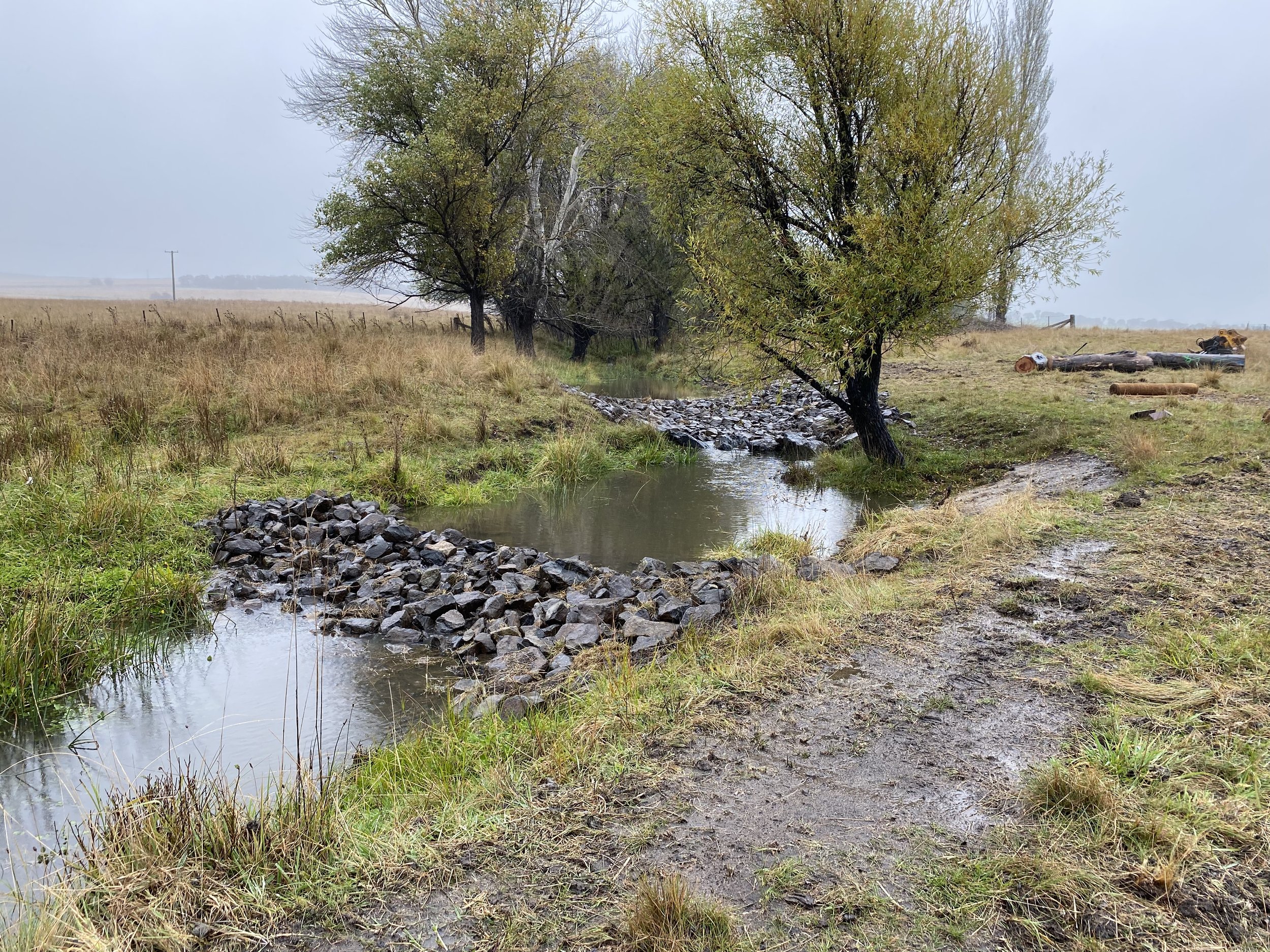
Above left: Chris Inskeep at the Black Jackie Stream Gauge monitoring station. 

Above centre: inside One of the stream gauge logger boxes. 

Above right: Stream gauging site at Sandhills Creek.

We have also been working closely with our partners HydroTerra on improving the efficiency and quality of our data collection, and processing workflows for our data downloads from the instrumentation and capturing information regarding general field works. 

The science team has been working with Mulloon Creek Natural Farms’ Farm Manager Matt Narracott on integrating CiboLabs data into AgriWeb software to gain better insights into farm operations from remotely sensed satellite data. 

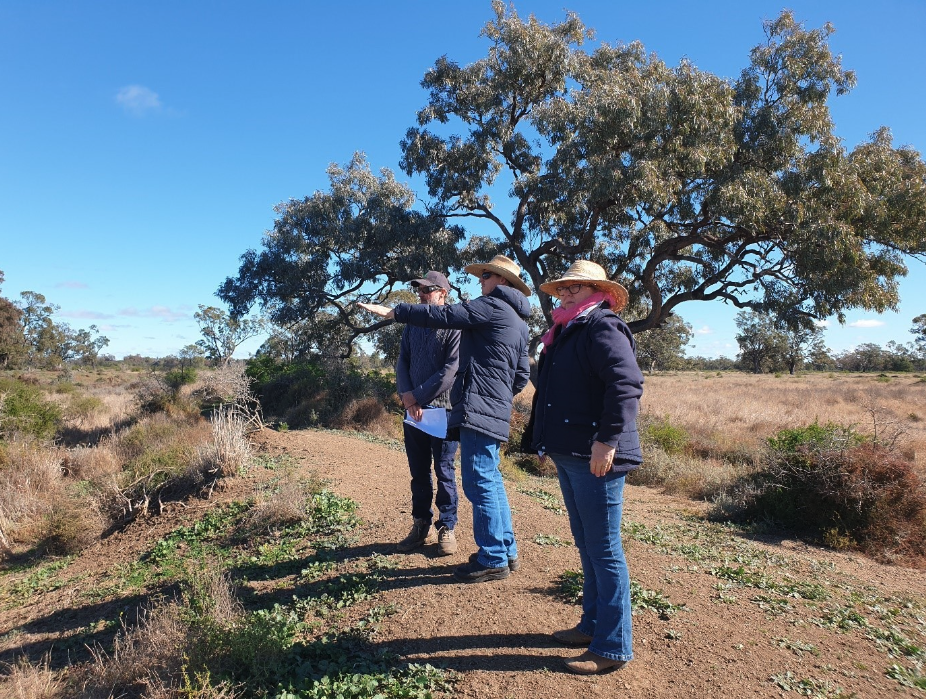
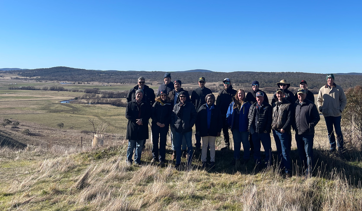
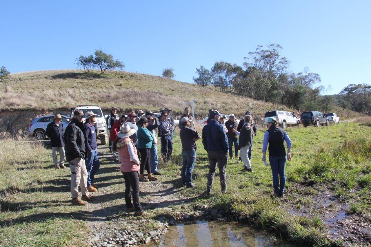
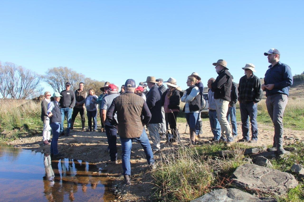
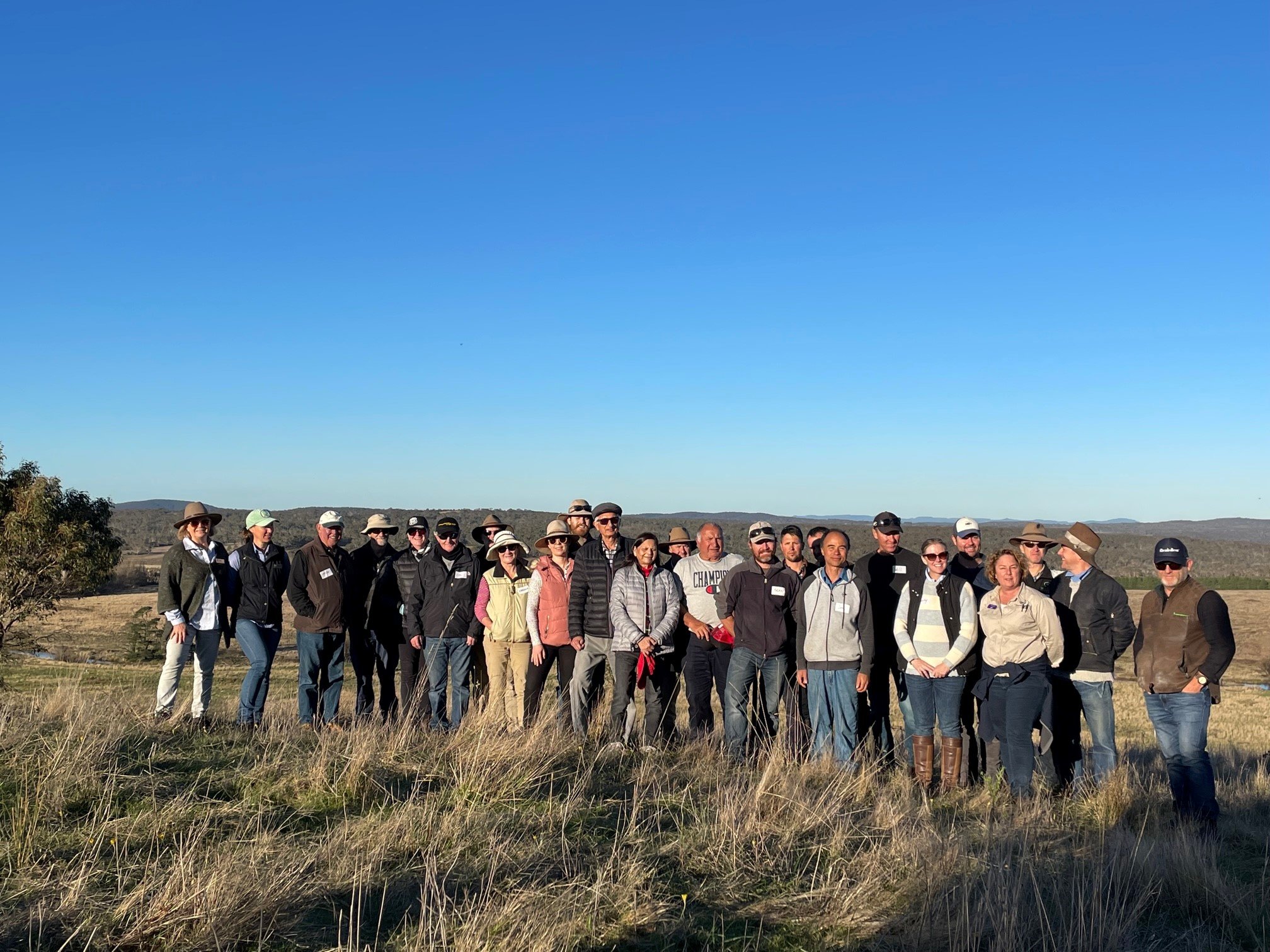
The team has hosted and participated in visits from: 

  • Richard Campbell and Andrew Wollen from HydroTerra, Matt Pearce from NSW DPI, and Nigel and Suzannah from NVIRO Media who are creating a film for the launch of the upcoming Catchment Rehydration Selection Tool (CReST) project. This project will create a spatial output similar to a heat map, ranking the various areas of NSW for application of landscape rehydration for farm productivity and environmental outcomes. The team have been working closely with our partners HydroTerra in starting to ground truth and assess some of the results of the model/tool. Read more about the CReST project HERE!

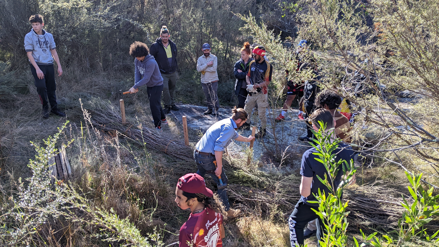
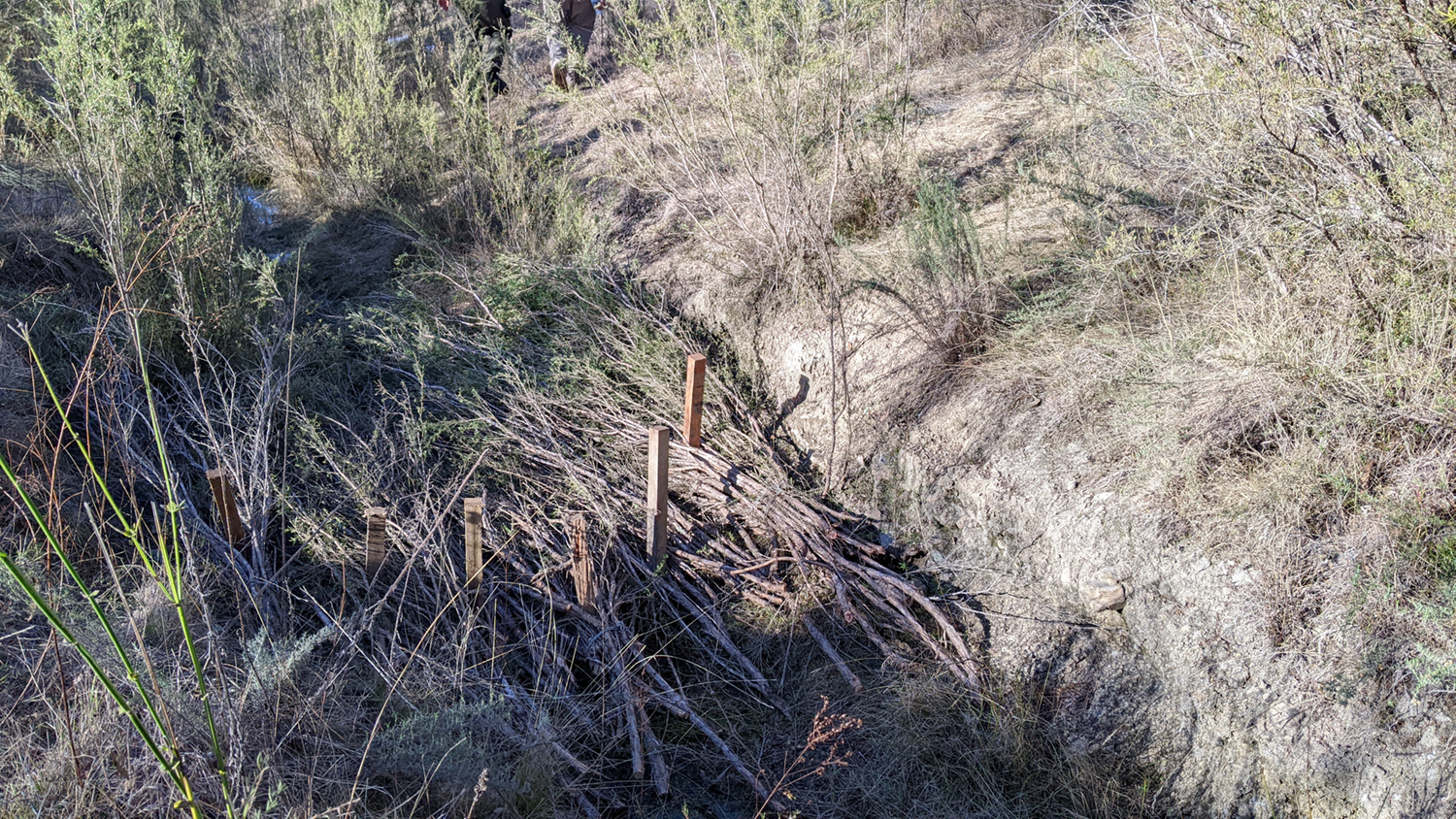
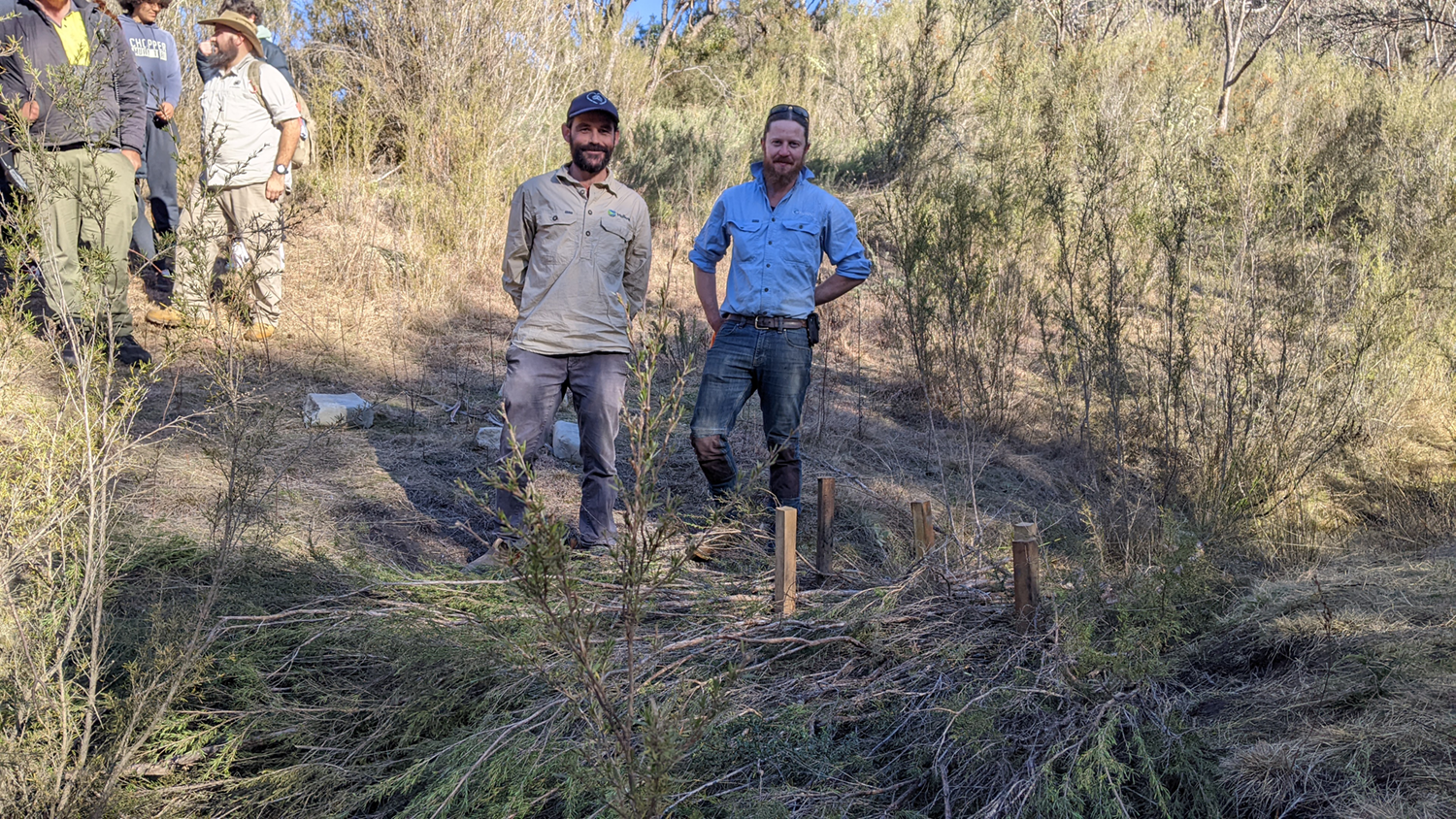
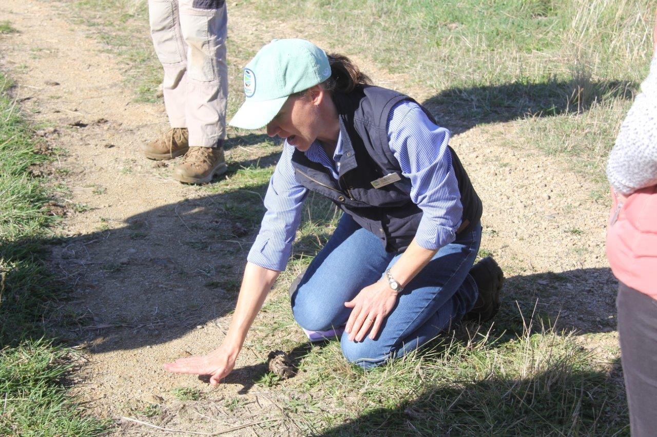
  • Darcy MacCartie from the University of Adelaide has also spent two weeks at Mulloon on an AgriFutures scholarship during his mid-semester break. Darcy was helping the MRI Science Monitoring team with water quality (nutrient and pathogen) sampling, maintenance, improving visibility and marking out for Landscape Function Analysis (LFA) and Rapid Assessment of Riparian Condition (RARC) locations in the field, as well as looking into how the Science Monitoring team and farm operations work together. Darcy also investigated how spatial information, GIS and using drones can benefit and play a greater role in smart farm management and monitoring techniques resulting in better efficiency gains. 

Above left: Darcy MacCartie, an AgriFutures student from University of Adelaide helping out the MRI Science Monitoring Team with our water testing. 

Above centre: Darcy and Tony (MRI Science Team Hydrologist) at one of the Soil Moisture locations looking over the Mulloon Creek floodplain at Mulloon Creek Natural Farms. 

Students proudly displaying their Water Story creative interpretations of the water cycle.

Ever wondered about water’s ‘Pattern Language’?

This was the task we set Year 2 students at The Scots College Water Story activity day in June. Laura, ably supported by early childhood educator David Bard, led the students in a fast-paced drawing activity to capture the entire water cycle in one go. What pattern might water make in the soil, in a waterway, in a cloud or in a rain shower? The students used their imaginations to create some fabulous collages of water poetry above and below ground, tiny and large, liquid and vapour – what a treat!  

The Water Story is a full-term curriculum program that has been co-produced by The Scots College and Mulloon Institute. This marked the second year it has been taught with an accompanying hands-on activity day, and the teachers have been thrilled with the program. The curriculum is soon to be launched and made available Australia-wide, stay tuned!  

This workshop was supported by the Australian Government through the citizen science project ‘Modelling Landscape Rehydration for Catchments, Communities and Curriculum’. 

Mulloon Consulting GM Jono Forrest recently spoke with Ray Milidoni for the Secrets of the Soil podcast, sharing his unique perspective on working with landholders to understand their values and goals, and the motivations behind landscape rehydration. From addressing issues like erosion and waterlogging to building natural capital, he sheds light on the diverse aspects that influence landscape function.

This episode takes a deep dive into the historical mindset of farmers, the innovative approaches shaping agriculture today, and the importance of community involvement in achieving sustainable outcomes.

Seeing a multigenerational family farm through fresh eyes.

Recently Mulloon Institute Landscape Planner Tony Wells interviewed Roger Sendall about how things have been going at his property Russmore since he attended, and hosted, one of our bootcamps there on 8-9 July 2022. As Mulloon Institute is refining its curriculum, it’s very valuable to find out what sticks.  

The 6,800-ha cropping and livestock property has been in Roger’s family for over 100 years, located on the flat country of the Namoi River floodplain, 85 km east of Walgett. Surrounded by irrigated cotton development, Rossmore is a beautiful demonstration of the balance between agriculture and the natural environment.  The property contains over 4,000 hectares of savanna woodland, semi-arid shrublands and perennial native grasses. 

Roger recounted that since the bootcamp, he is seeing his country through fresh eyes. He was observing things differently and is more aware of the health of waterways and landscapes. He had previously thought landscape rehydration was more applicable to undulating country, but now understands that it is highly relevant to low-relief, alluvial landscapes. 

The bootcamp helped Roger identify two actions he could take to improve the hydrological functioning of his property:

  1. minor earthworks to reinstate a disrupted natural overland flow path, and

  2. reintroduce cattle (he had only had sheep for many years) to make better use of the build-up of over-mature, coarse grasses that were unsuitable for sheep. 

A reintroduction of cattle to the property has made better use of the build-up of over-mature, coarse grasses that were unsuitable for sheep. 

Roger tackled the earthworks early in 2023. He has reduced the level of the bank from about 1.5 m to about 300 mm above the natural ground level.  These sections of the bank were transformed into water-spreading level sills. There has only been one low-moderate flow event in Pian Creek, and Roger is eager to see what happens now when floods do send pulses along the floodway.   

Roger has also bought a mob of 80 steers and got three agistment mobs, totalling around 200 head. He said that the cattle have not yet produced an even graze but have opened up country and reduced the volume of lignified grasses dramatically. He is very glad he has the cattle, appreciating the effects of the bigger animals and their more robust grazing. They complement the sheep well and provide a new land management tool. 

In retrospect, Roger also greatly valued the opportunity the bootcamp provided to interact and share ideas and stories with like-minded people, particularly as very few farmers in his area practice regenerative agriculture. Here’s hoping that changes!  

We’re looking forward to staying in touch with Roger to see the changes and improvements at Russmore over the coming year.  


Mulloon Institute’s Learning Programs have been supported by the New South Wales Government through its Environmental Trust. 

Students installing a brushpack weir under guidance and instruction from Landscape Planner Jack Smart, Field Officer Max Brunswick and Birrigai GSO Luke Hyatt.

Mulloon Institute held a one-day workshop at Birrigai outdoor school on the outskirts of the ACT on 21 June. The workshop was attended by 20 high school students from various schools within the ACT and presented by Education Coordinator Tam Connor, Landscape Planner Jack Smart and Field Officer Max Brunswick.

The day consisted of a few activities starting with Acknowledgement of Country from Robert Mann, an Aboriginal Project Officer from ACT Natural Resource Management, and a brief talk from Birrigai General Service Officers (GSO) Joel Bulger and Luke Hyatt about where we are and the cultural significance of the land we stand on. Following this, Jack Smart gave the students some background about Mulloon Institute and a brief of what to expect from the day. The students were then asked to take a walk along a small creek bank for a few hundred metres using all their senses to take note of any changes they saw within the creek bed, banks, vegetation and wildlife. Once the walk was completed a group discussion was held where students pointed out things such as where vegetation was lacking, the bird life wasn’t nearly as abundant, and the banks of the creek seemed bare of grass and more erosion was present.

The next activity involved a stream table module used to simulate erosion where students can use small rocks and twigs to create interventions and see on a small scale how water reacts in loose/unstable sediment.

The students then went on a bush walk further upstream to do some hands-on work with brushpacks. Brushpacks are an affordable, DIY approach to repairing degraded land. They can be built across contours to trap soil, seeds, plant litter and nutrients. They also slow and filter water as it moves down a slope. Brush had been cut by GSO’s Joel and Luke directly from the slopes adjacent to the area we intended to install them. The students were then taught how to tie the packs together using a biodegradable twine and begin to install them within the creeks flow line using stakes to pin the packs down. Two types of brushpacks were used, the first being a fan like shape with the cut ends of the brush facing upstream and the foliage downstream, these help to spread water in higher flows as well as all the other great properties of brushpacks. The second was a simple brush weir, tightly packed and tied brush was laid out and pinned across the creek. This style of brush intervention will spread water out onto either bank/ mini flood plain.

Brushpacks pinned into creek bed creating a fan-like shape that will trap loose sediment, slow and spread water.

Brush weir installed across flow path up onto banks to allow the spread of water in high flows.

Landscape Planner Jack Smart (left) and Field Officer Max Brunswick (right) standing upstream of a completed instream brush structure.

This project has been assisted by the New South Wales Government through its Environmental Trust

In June 2023, Mulloon Institute’s Peter Hazell and Erin Healy were given a very warm welcome by the Far South Coast community of Cobargo. Hosted by David Newell made possible by funding from the Smart Farms program, Pete and Erin presented a jam-packed Landscape Rehydration Essentials Workshop to 45 landholders.  

Pete and Erin started the day with some short presentations introducing the fundamentals of landscape rehydration.  

The group started at the newly renovated Cobargo Showground, with a couple of fun activities and short presentations to introduce the fundamentals of landscape rehydration. After being spoilt with a choice of freshly made curries for lunch by local caterer Cam from Kitchenboys, the group headed out into the glorious afternoon sunshine for a paddock walk. It was local farmers, Martin and Joyce that welcomed the group onto their property Brandywine, a short drive from Cobargo. The afternoon was spent exploring how to read a landscape for the purpose of improving landscape function – whether that be for agricultural productivity, biodiversity or drought and bushfire resilience. The group finished the day on a high with a visit to a well-established gully erosion repair project on Brandywine, completed by landholder Martin with environmental facilitator David Newell.  

The group enjoyed the June sunshine for an afternoon paddock walk and practiced reading the local landscape.  

The day provided a fantastic opportunity for locals and a few landholders from further afield to get together, network, and explore the essentials of landscape rehydration.  


This project is supported by Smart Farms, through funding from the Australian Government’s National Landcare Program. Mulloon Institute’s Learning Programs have been developed with the assistance of the NSW Government’s Environmental Trust.

The Nuffield Scholars group pictured at Duralla, Mulloon Creek Natural Farms.

Jono Forrest (General Manager, Mulloon Consulting) and Matt Narracott (Farm Manager, Mulloon Creek Natural Farms) hosted a group of current Nuffield scholars and alumni at Duralla and Mulloon Home Farm. 

Nuffield provides leading-edge primary producers with the opportunity to travel and study in their field, which will add value to the primary industry sector. The current scholars from Ireland, Netherlands, America, Australia and Zimbabwe were visiting Australia as part of their four-week Global Focus Program (GFP). The hosts of the GFP had organised for the scholars to experience a full spectrum of agricultural sectors and production systems in NSW.

During their visit to Mulloon, the group had the opportunity to see the work being undertaken with the Mulloon Rehydration Initiative and build their understanding of landscape rehydration tools and infrastructure. The MRI is a catchment-scale project that aims to rebuild the natural landscape function of the Mulloon catchment and boost its resilience to climatic extremes.

Matt Narracott provided insights into the farm operation and there was a lot of interest in the agricultural production benefits of landscape rehydration, including the interaction with carbon, natural capital markets and biodiversity.

We wish the scholars all the best with their ongoing research projects and look forward to hosting more of them and alumni in future.

The Mulloon Rehydration Initiative is jointly funded through the Mulloon Institute and the Australian Government’s National Landcare Program and is supported by the NSW Government’s Environmental Trust.

The group heading to Peter’s Pond

On a beautiful Friday afternoon, ACT NRM and Upper Lachlan Landcare recently visited Mulloon Creek Natural Farms. Nolani and Penny hosted the private group of 28 participants, taking them to look at landscape rehydration infrastructure including a leaky weir in Mulloon Creek, contours and planting on a hilltop as well as an alluvial fan entering the floodplain near Peter’s Pond.

Penny Cooper explaining impacts on vegetation and hardened soils

Nolani McColl overlooking Mulloon Creek and catchment on a glorious autumn afternoon with ACT NRM and Upper Lachlan Landcare groups.

Catchment-scale projects are inherently social projects that begin with the education and capacity building of communities on the process of landscape rehydration and associated regenerative land management approaches.

It was fantastic to share our learnings with ACT NRM and Upper Lachlan Landcare groups.

If you wish to keep up to date with the Mulloon Rehydration Initiative* and visit the on-ground works at Mulloon Creek Natural Farms with your local Landcare group, student, business or community group, please contact Education Coordinator Tam Connor via learning@themullooninstitute.org to organise a private tour.

Alternatively, keep an eye on our events page for all upcoming events on-site and further afield.

This event was supported by the ACT Government, through funding from the Australian Government’s Future Drought Fund Farm Business Resilience Program. This field trip also forms part of the Mulloon Institute’s Learning Programs, whose development has been generously supported by the NSW Government’s Environmental Trust.

The Mulloon Rehydration Initiative is jointly funded through the Mulloon Institute and the Australian Government’s National Landcare Program and is supported by the NSW Government’s Environmental Trust.

Sam Skeat (Mulloon Institute) and Paul Hales (Bush Heritage) discuss plant succession, natural processes of erosion and sedimentation among other ecological dynamics on a spring-fed linear wetland site at Yourka Reserve. 

Terrain NRM hosted Mulloon Institute’s Sam Skeat and Leon Van Wyk for a workshop and mentoring event at Yourka Reserve, in the Upper Herbert River catchment, FNQ. The 43,500 Ha conservation property is owned and managed by Bush Heritage Australia. The principal motivation was to workshop cost-effective strategies that will reduce Total Suspended Solids (TSS) in waterways from Yourka Reserve and thereby reduce sediment loads affecting water quality in the Great Barrier Reef lagoon. 

Landscape rehydration mentoring was therefore targeted by delivering content in the field. Examining the diverse habitats and intact landscape patterns enabled discussion of design factors for addressing areas of active gully erosion. Design factors pertinent to Yourka Reserve included wetland and biodiversity protection, gully rehabilitation, maintenance of access roads/tracks and landscape rehydration strategies. The capacity building of management staff focused on reading landscape hydrology, assessing risks and opportunities for erosion mitigation, and evaluating the likely return on effort across different parts of the property. 

Key lessons: 

  • Reading the landscape is the foundational skill to be honed. 

  • Landscape patterns and project scale are fitted together through a design process. 

  • Plant growth and landscape processes are fundamentally important for shaping outcomes. 

  • Management and maintenance regimes can deliver multiple benefits. 

Duncan Buckle (Terrain NRM) and Sam discuss strategy alongside a deep and highly active erosion gully, incised through a Eucalyptus platyphylla flat in Yourka Reserve. 

Reading the landscape

Useful actions to address problem areas of erosion depend on correctly observing and identifying certain landscape features, including but not limited to hydrology, geomorphology, species abundances and habitat diversity. Information that relates to past, current and future landscape function should be compiled and analysed with care, informing the design process and resource requirements for the project. 

Paul and Sam engaged in reading the landscape, following a primary flowline upstream where large quantities of decomposed granite sand are being deposited and transported through a stream network in Yourka Reserve.

Landscape patterns and project scale

Rehabilitating large gullies can be costly and present many risks that must be carefully managed. One strategy to reduce risk is to work on a representative landscape pattern at a small scale first, which can be repeated at larger scales once more experience and confidence has been generated. Hydrological patterns repeat like fractals at various spatial scales, however the forces to be mitigated will increase in a non-linear way. This means increasing the scale of projects will present increasingly serious levels of risk including the triggering of regulatory approval processes that must be navigated with due diligence. 

Sam and Paul examine gully erosion along a fire break in Yourka Reserve. 

Plant growth and landscape processes

To be considered as successful projects, landscape interventions must be based on understanding and working with changing conditions through time. Landscape processes can be classified as biotic (plant, animal and microbe population dynamics, ecological succession, etc.) or abiotic (geochemistry, tide cycles, seasonality, erosion and deposition of sediments, etc.). Even without human intervention, landscapes are highly complex systems because the living and non-living processes are deeply inter-dependent. Reinforcing processes speed up changes through positive feedback loops and regulating or dampening processes will slow down changes through negative feedback loops. Sooner or later, erosion control structures must be colonised by the self-reinforcing growth of plants to minimize erosion and build landscape function over the long-term. 

Gully erosion cutting through a firebreak access road in Yourka Reserve.

Management and maintenance regimes

Project success in erosion control or gully rehabilitation depends on timely and effective maintenance beyond the initial phase of establishing a landscape intervention. Risks from a catastrophic failure can be effectively prevented by good design, however, small structural compromises must be detected and repaired as early as possible to prevent a reinforcing positive feedback loop from undermining the whole intervention. If plants are encouraged to colonise structures early, multiple benefits in habitat and biodiversity enhancement can accrue through the process of ecological succession. Carbon sequestration and water infiltration could also be accelerated by regular maintenance checks while managing the establishment of vegetation. 

This workshop was part of Terrain NRM’s Upper Herbert Sediment Reduction Project. It is funded by the partnership between the Australian Government’s Reef Trust and the Great Barrier Reef Foundation

Images: Leon Van Wyk & Duncan Buckle.

Above – the site of the L4 log-sill weir structure prior to construction. The bed of the channel has been raised by around 0.9m at this site following the completion of works.

Mulloon’s Principal Landscape Planner Peter Hazell, Landscape Planner Jack Smart and Field Officer, Max Brunswick recently completed construction of a suite of landscape rehydration infrastructure works at the property “Lorrina” near Braidwood, NSW. The works, completed over two weeks during April-May 2023, involved the construction of four log-sill bed control structures, four access crossings, and a suite of smaller rock weir and rock baffle structures.

Mulloon Consulting worked closely with the landholders in the preparation of a landscape rehydration plan and designs for the property, with the recently completed works being the first stage of a planned two-stage implementation process. The second stage involves the design and implementation of bed control structures along a third-order stream within the property. As these works are within the regulated system, they will require regulatory approvals.

Rock weir (foreground) and log-sill weir L4 (background) during the first flow-over event following construction. The rock weir provides backwater to the downstream side of the L4 structure.

The recently completed works aim to address historic stream erosion and incision by raising the bed level of the stream by between 0.5-1m and in doing so, slow the flow of water and encourage the spreading of flows across the landscape. This will improve the capacity of the landscape to retain and store water and in turn improve nutrient cycling, vegetation growth and landscape productivity. Additionally, the works support improved biodiversity, aesthetic and recreational outcomes. The landholder is also undertaking supplementary works, including riparian fencing and revegetation to support the long-term restoration of the site.

Log-sill weir L6 (foreground) and log-sill weir L7 (background) during the first flow-over event. The bed of the channel has been raised between 0.5-1m at these sites allowing for the ponding of water behind the structures.

The series of small rock weir structures provide for the gentle drop of flows between the larger log-sill weir structures whilst providing habitat outcomes for frogs and birds.