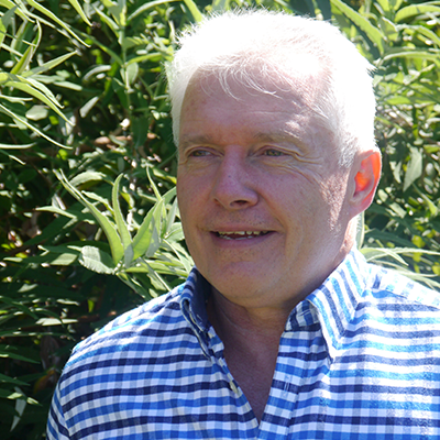
Chris Inskeep
Dip. EnvSc, Cert. LiDAR Technology + Applications
Science Officer/Spatial & Remote Sensing Specialist
Chris has over 15 years of experience in the spatial science industry, working across government, research, and non-profit sectors. He has a strong foundation in asset and natural resource management, with a particular focus on improving systems and methods for accurate spatial and environmental data collection.
Chris spent a decade at Geoscience Australia, contributing to nationally significant projects such as the Australian Hydrological Geospatial Fabric (AHGF) in collaboration with the Bureau of Meteorology (BoM), CSIRO, and the Australian National University (ANU). This work involved high-performance computing and the processing of large-scale 3D datasets using the ANU’s National Computational Infrastructure (NCI). His passion for 3D spatial data extended to high-resolution LiDAR applications, contributing to the development of the ICSM LiDAR Acquisition Specifications and Tender Template. He also worked with NSW State Emergency Services, using spatial flood mapping to enhance community risk communication and resilience planning.
Currently, Chris is a Science Officer at Mulloon Institute, where he leads spatial and remote sensing efforts for the Mulloon Rehydration Initiative – a large-scale catchment restoration program focused on landscape rehydration and ecosystem resilience. His work supports long-term environmental monitoring, community-based land stewardship, and science-informed catchment management.
In addition, Chris recently contributed to the United Nations Convention to Combat Desertification (UNCCD)’s Global Report on the Economics of Drought, working with the Economics of Land Degradation (ELD) Initiative and presenting this at the UN CoP’16 in Riyadh. His role focused on geospatial and data-driven analysis to support economic assessments of drought resilience interventions globally.
Chris brings a unique combination of technical expertise, environmental insight, and a passion for landscape systems thinking. He is driven by a deep commitment to using spatial science to support ecological restoration and climate resilience.
